Download
3D Flyover
Add to list
More
2113.5 km
~74 days
12036 m
Multi-Day
“Embark on Ohio's scenic and historic Buckeye Trail, a diverse 1,444-mile trek through nature's splendor and past echoes.”
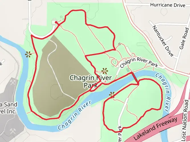
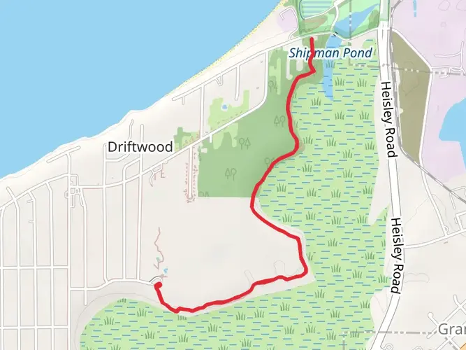
Spanning approximately 1,444 miles (around 2113 km) with an elevation gain of roughly 39,370 feet (around 12,000 meters), the Buckeye Trail winds its way around Ohio, offering a diverse range of landscapes and experiences. This loop trail begins near Headlands Beach State Park in Lake County, Ohio, and encircles the entire state, passing through a variety of parks, forests, and preserves.
Getting to the Trailhead
To reach the starting point of the Buckeye Trail, hikers can drive to Headlands Beach State Park, which is accessible via major roads and highways. For those relying on public transportation, options may be limited, but regional transit services can get you close to the area, where you might need to arrange a taxi or rideshare to the trailhead.
Trail Experience
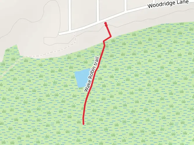
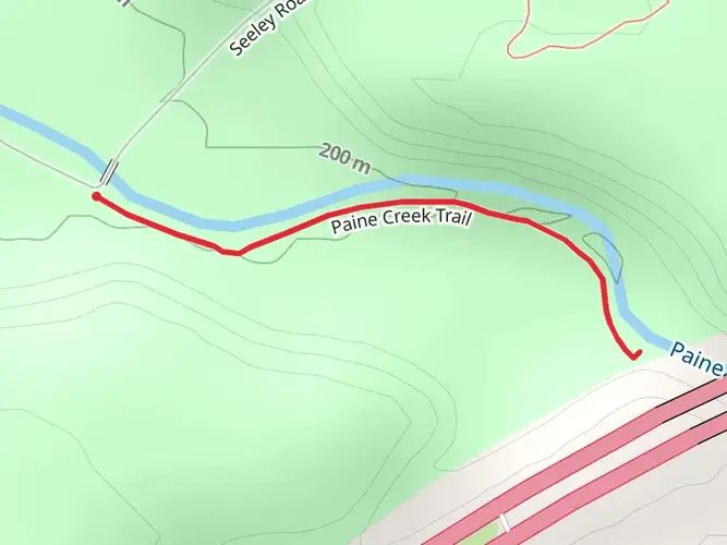
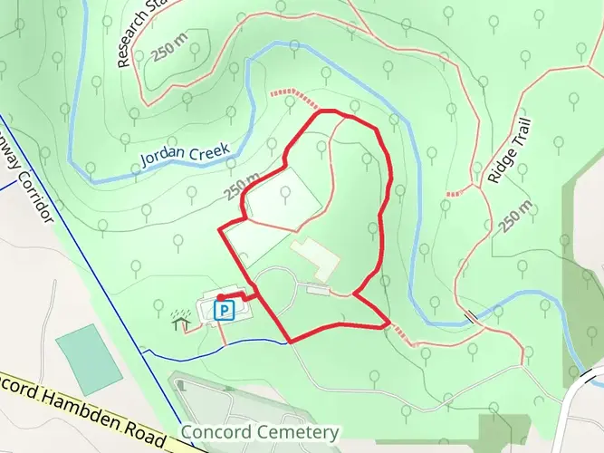
The Buckeye Trail is marked by blue blazes that guide hikers through sometimes rugged, sometimes gentle terrain. The trail is a mix of footpaths, roads, and towpaths, offering a unique hiking experience that includes both natural scenery and a taste of Ohio's small-town charm.
As you embark on this extensive journey, you'll traverse through the Cuyahoga Valley National Park, known for its lush forests and the scenic Cuyahoga River. The trail also takes you through the Wayne National Forest, with its rolling hills and diverse ecosystems. Hikers can expect to cover a variety of terrains, from flat farmlands and wetlands to the challenging, rocky paths of the Appalachian foothills.
Landmarks and Nature
One of the most significant landmarks along the Buckeye Trail is the historic village of Zoar, where hikers can explore a community founded by German separatists in the early 19th century. The trail also passes through Hocking Hills State Park, home to stunning rock formations, waterfalls, and deep gorges.
Wildlife is abundant, with opportunities to spot white-tailed deer, wild turkeys, and a variety of bird species. The changing seasons bring different experiences, from the vibrant wildflowers of spring to the rich hues of autumn leaves.
Historical Significance
The Buckeye Trail traverses regions rich in history, from Native American heritage sites to remnants of Ohio's early industrial era. Hikers will encounter historical canals, including portions of the Miami and Erie Canal, which played a crucial role in the state's development.
Preparation and Planning
Hikers should prepare for a range of weather conditions and be equipped with proper gear for both road walking and rugged trails. Water sources can be scarce in some sections, so carrying enough water and a filtration system is essential. For navigation, the HiiKER app provides detailed maps and trail information to help keep you on track.
Given the trail's length, resupply points are an important consideration. Plan your stops in towns along the route, where you can restock on food and other necessities. Accommodations vary from campgrounds to inns, allowing for different levels of comfort depending on your preference.
Wildlife and Safety
While the Buckeye Trail offers a relatively safe hiking experience, it's important to be aware of potential hazards such as ticks, poison ivy, and inclement weather. Always check the weather forecast before setting out and be prepared for sudden changes in conditions.
In conclusion, the Buckeye Trail is a testament to Ohio's natural beauty and historical richness. Whether you're looking for a long-distance challenge or a series of day hikes, this trail provides an opportunity to explore the heart of the Midwest at your own pace.

What to expect?
Activity types
Comments and Reviews
User comments, reviews and discussions about the Buckeye Trail, Ohio.
4.8
average rating out of 5
5 rating(s)