Download
Preview
Add to list
More
11.2 km
~2 hrs 48 min
336 m
Loop
“Embark on the Croaghan Way to traverse a historic, wildlife-rich landscape with breathtaking Irish vistas.”
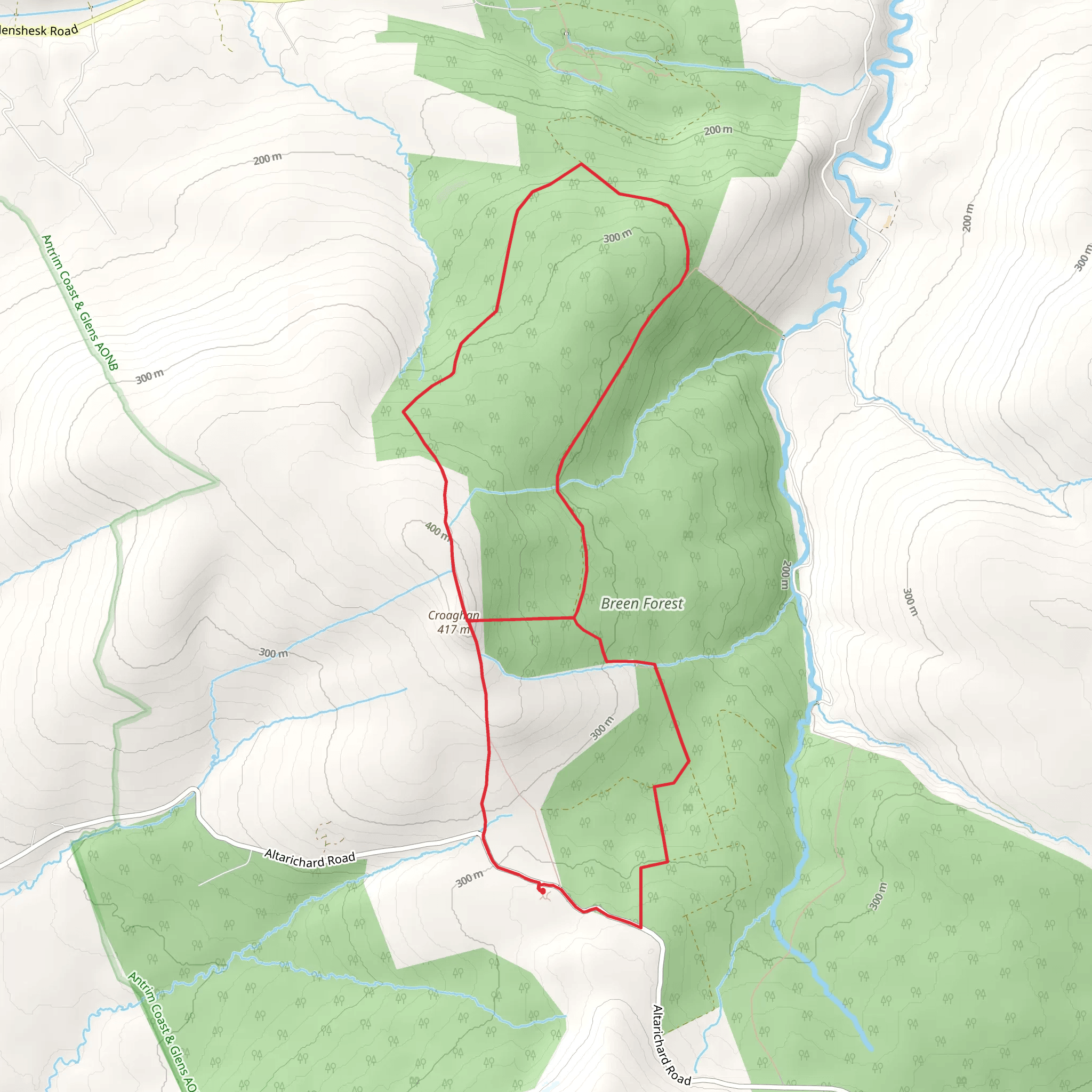
The Croaghan Way is a scenic loop trail located near County Antrim in Northern Ireland, offering hikers an 11 km (approximately 6.8 miles) journey through a landscape rich in natural beauty and historical significance. With an elevation gain of around 300 metres (about 984 feet), this trail provides a moderately challenging experience suitable for those with some hiking experience.
Starting from the trailhead, which is easily accessible by car, you'll find parking available near Altarichard Road. For those opting for public transport, local bus services can drop you off close to the trailhead, from where you can begin your adventure.
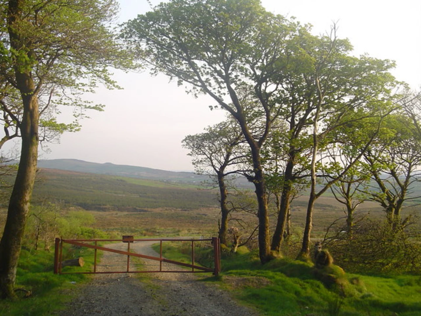
As you embark on the Croaghan Way, the path will lead you through a variety of terrains, including lush woodland areas, open moorland, and rolling hills. The trail is well-marked, but it's always wise to have a navigation tool like HiiKER on hand to ensure you stay on the right path.
Natural Landmarks and Wildlife
Early in your hike, you'll be greeted by the sights and sounds of the local wildlife. Keep an eye out for native bird species, such as skylarks and buzzards, soaring above. The trail also winds through areas of peatland, which are home to unique plant species like sphagnum moss and heather, adding a splash of color to the landscape.
As you ascend, you'll be treated to panoramic views of the surrounding countryside. The trail offers several vantage points where you can pause to take in the sights, including views of the distant Atlantic Ocean and the Scottish coastline on clear days.
Historical Significance
The region around the Croaghan Way is steeped in history. As you hike, you'll come across evidence of ancient settlements and farming practices. Stone walls and old field systems are a common sight, silently telling the story of the land's past inhabitants.
One of the most significant historical landmarks you'll encounter is an ancient cairn, which is believed to be a burial site dating back to the Bronze Age. This cairn is a reminder of the area's long-standing human presence and adds a sense of wonder to the hike.
Trail Navigation and Terrain
The trail's terrain can be uneven and boggy in places, so proper hiking boots are recommended. The elevation gain is gradual, but there are a few steeper sections that will get your heart pumping. As you approach the halfway point, the trail begins to loop back, descending towards the starting point.
Throughout the hike, you'll find the trail well-signed, but keeping HiiKER open will help you track your progress and ensure you don't miss any points of interest. The app can also provide information on the estimated time to complete the trail, which is typically around 4 to 5 hours, depending on your pace and how often you stop to enjoy the scenery.
Accessing the Trail
To reach the Croaghan Way by car, take the B15 road from Ballycastle towards Armoy, then turn onto the Altarichard Road, where you'll find the trailhead and parking area. If you're using public transport, check the local bus schedules for services running to the area and plan your trip accordingly.
Remember to pack enough water and snacks for the journey, as there are no facilities along the trail. Also, be prepared for changeable weather by bringing appropriate clothing and checking the forecast before you set out.
The Croaghan Way offers a rewarding experience for hikers looking to immerse themselves in the natural and historical tapestry of Northern Ireland. Whether you're captivated by the wildlife, the stunning views, or the echoes of the past, this trail is sure to leave a lasting impression.
Activity types
Comments and Reviews
User comments, reviews and discussions about the Croaghan Way, Northern Ireland.
4.0
average rating out of 5
1 rating(s)

