Download
Preview
Add to list
More
2.5 km
~32 min
23 m
Out and Back
“A scenic 3 km trail blending natural beauty and historical significance near the Missouri-Yellowstone confluence.”
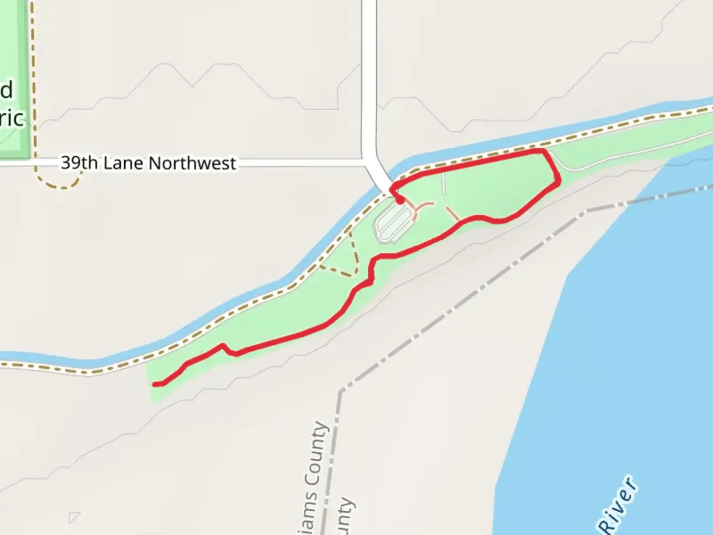
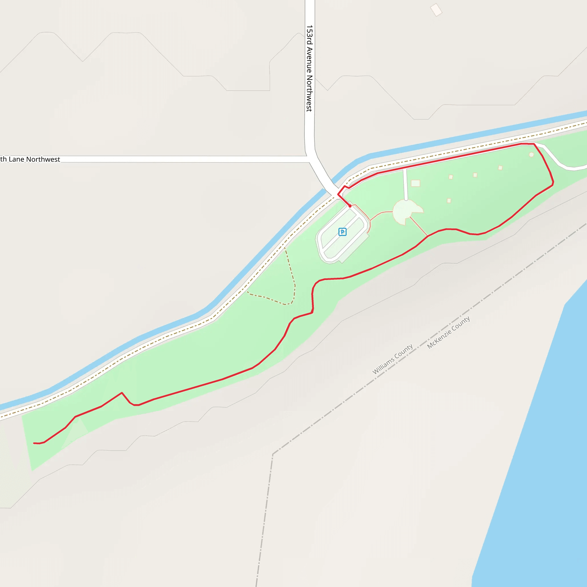
The Missouri-Yellowstone Confluence Walk is a delightful 3 km (1.86 miles) out-and-back trail located near Williams County, North Dakota. With an elevation gain of approximately 0 meters (0 feet), this trail is accessible to a wide range of hikers, though it is rated as medium difficulty due to some uneven terrain and potential weather conditions.
Getting There To reach the trailhead, you can drive or use public transport. If driving, head towards the Missouri-Yellowstone Confluence Interpretive Center, located at 15349 39th Ln NW, Williston, ND 58801. This center serves as a convenient landmark and starting point for your hike. For those using public transport, the nearest major town is Williston, North Dakota. From Williston, you can take a taxi or rideshare service to the interpretive center.
Trail Overview Starting at the Missouri-Yellowstone Confluence Interpretive Center, the trail immediately immerses you in the rich natural and historical tapestry of the region. The path is well-marked and maintained, making navigation straightforward. For additional guidance, consider using the HiiKER app to ensure you stay on track.
Historical Significance The confluence of the Missouri and Yellowstone Rivers is a site of immense historical importance. This area was a significant landmark for the Lewis and Clark Expedition in the early 19th century. As you walk, imagine the explorers charting these waters and encountering the native tribes who have called this region home for centuries.
Landmarks and Wildlife At approximately 0.5 km (0.31 miles) into the hike, you will come across an observation deck that offers stunning views of the confluence. This is an excellent spot for birdwatching, as the area is home to a variety of species including bald eagles, pelicans, and herons.
Continuing along the trail, you will encounter interpretive signs that provide information about the local flora and fauna. The region is characterized by cottonwood trees, willows, and a variety of wildflowers, especially vibrant in the spring and summer months.
Trail Conditions and Safety The trail is relatively flat but can become muddy and slippery after rain, so appropriate footwear is recommended. There are no significant elevation changes, making it accessible for most hikers, but be prepared for some uneven ground. Always carry water, especially during the warmer months, and consider bringing insect repellent as mosquitoes can be prevalent near the water.
Return Journey The trail is out-and-back, so once you reach the end point near the riverbanks, you will retrace your steps back to the interpretive center. This gives you another opportunity to take in the scenic views and perhaps spot wildlife you may have missed on the way out.
This hike offers a unique blend of natural beauty and historical depth, making it a rewarding experience for anyone interested in the rich tapestry of the American Midwest.
What to expect?
Activity types
Comments and Reviews
User comments, reviews and discussions about the Missouri-Yellowstone Confluence Walk, North Dakota.
4.44
average rating out of 5
218 rating(s)
