Download
Preview
Add to list
More
5.9 km
~1 hrs 24 min
131 m
Loop
“Explore diverse landscapes, historical landmarks, and rich wildlife on this scenic 6 km loop trail near McLean County.”
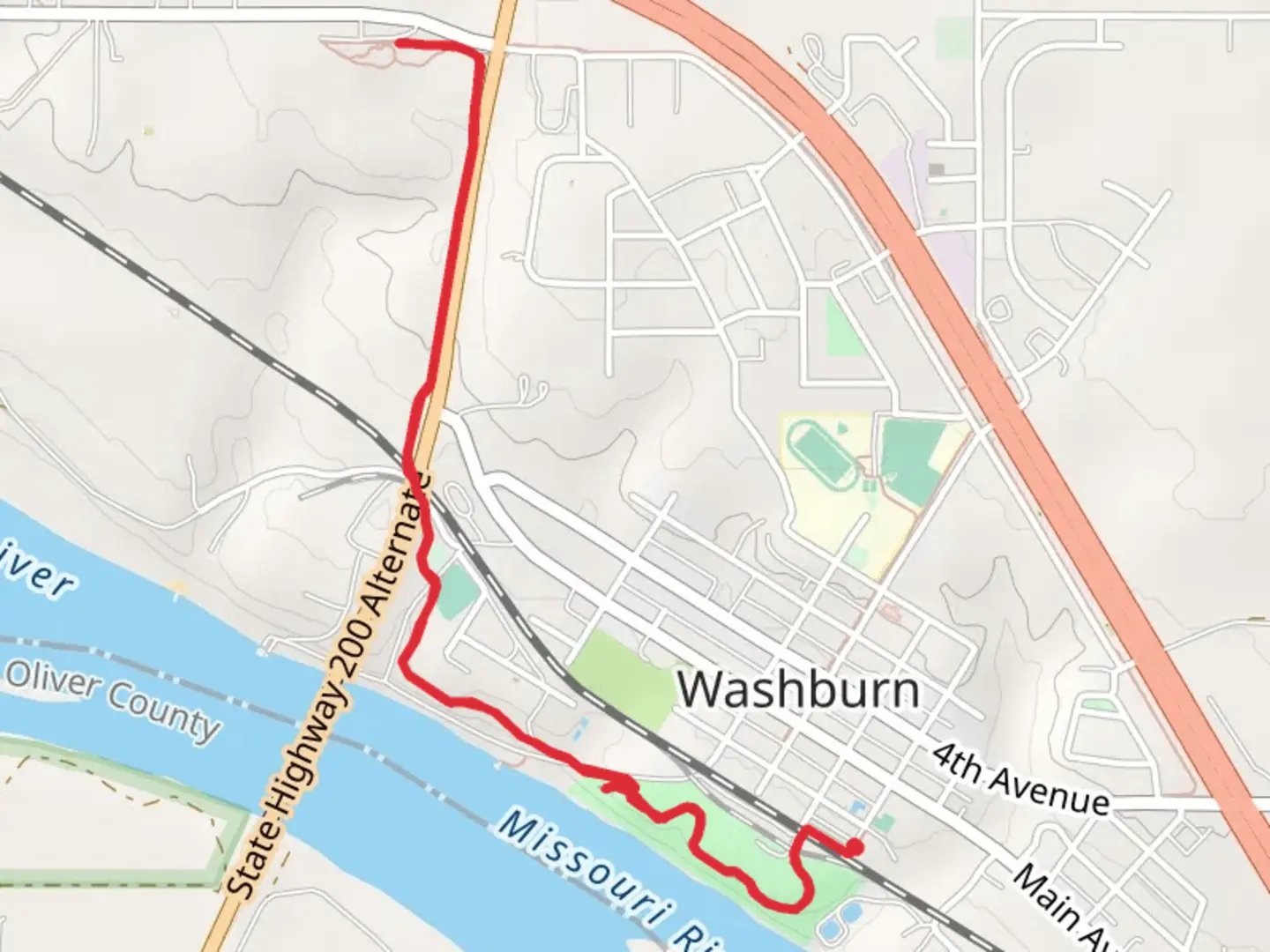
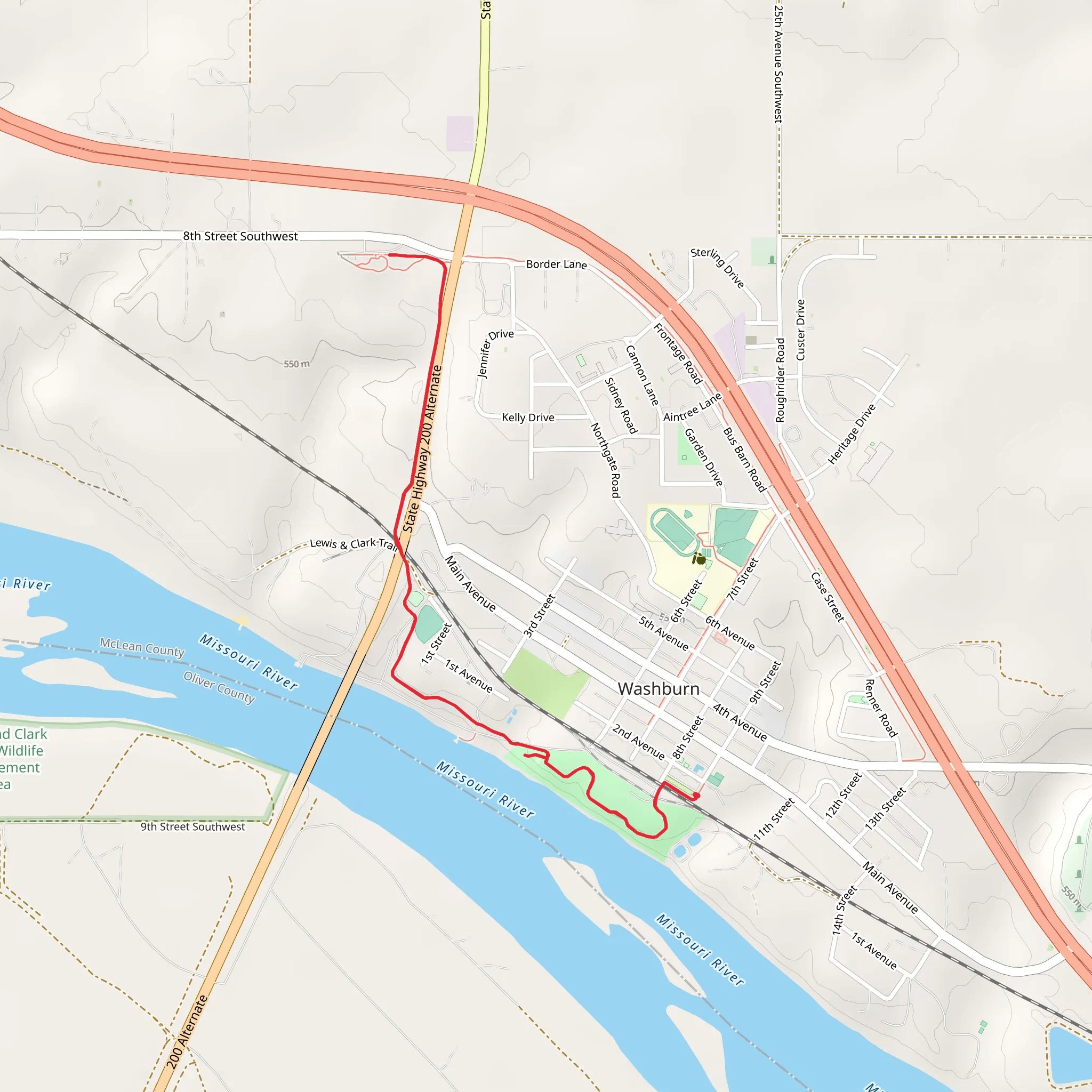
Starting near McLean County, North Dakota, this 6 km (approximately 3.7 miles) loop trail offers a moderate challenge with an elevation gain of around 100 meters (328 feet). The trailhead is conveniently located near the Riverside Park, which can be accessed by car or public transport. If driving, you can park at the Riverside Park parking area. For those using public transport, the nearest bus stop is at the intersection of Main Street and Riverside Drive, just a short walk from the trailhead.
Trail Overview and Navigation
The trail begins at Riverside Park, a serene area perfect for a pre-hike picnic or a post-hike rest. As you start your journey, you'll follow a well-marked path that winds through a mix of open meadows and dense woodlands. The trail is well-maintained, but it's always a good idea to have a reliable navigation tool like HiiKER to ensure you stay on track.
Significant Landmarks and Points of Interest
About 1 km (0.6 miles) into the hike, you'll come across the first significant landmark: a picturesque wooden bridge crossing a small creek. This spot is ideal for a quick rest and some photos. Continuing on, the trail gradually ascends, offering glimpses of the Missouri River through the trees.
At approximately 3 km (1.9 miles), you'll reach the highest point of the trail, where the elevation gain of 100 meters (328 feet) provides a rewarding view of the surrounding landscape. This vantage point is perfect for taking in the expansive views of the river and the rolling hills beyond.
Flora and Fauna
The trail is rich in biodiversity. In the spring and summer months, you'll encounter a variety of wildflowers, including prairie roses and coneflowers. The area is also home to numerous bird species, such as the American goldfinch and the red-tailed hawk. Keep an eye out for white-tailed deer, which are commonly seen grazing in the meadows.
Historical Significance
As you approach the Lewis and Clark Interpretive Center, located around 5 km (3.1 miles) into the hike, you'll step into a region steeped in history. The center commemorates the famous expedition of Meriwether Lewis and William Clark, who explored this area in the early 1800s. The interpretive center offers exhibits and information about their journey, providing a fascinating historical context to your hike.
Final Stretch and Return
The final kilometer (0.6 miles) of the trail loops back towards Riverside Park, descending gently through a shaded forest. This section is particularly beautiful in the fall when the leaves change color, creating a vibrant canopy overhead.
Whether you're a history buff, a nature enthusiast, or simply looking for a moderate hike with varied scenery, this trail offers a bit of everything. Make sure to bring plenty of water, wear sturdy hiking boots, and check the weather forecast before setting out.
What to expect?
Activity types
Comments and Reviews
User comments, reviews and discussions about the Riverside Park to Lewis and Clark Interpretive Center, North Dakota.
4.48
average rating out of 5
239 rating(s)
