Download
Preview
Add to list
More
24.2 km
~1 day 1 hrs
813 m
Loop
“Embark on a moderately challenging 24 km hike through North Dakota's Badlands, rich in scenic beauty and history.”
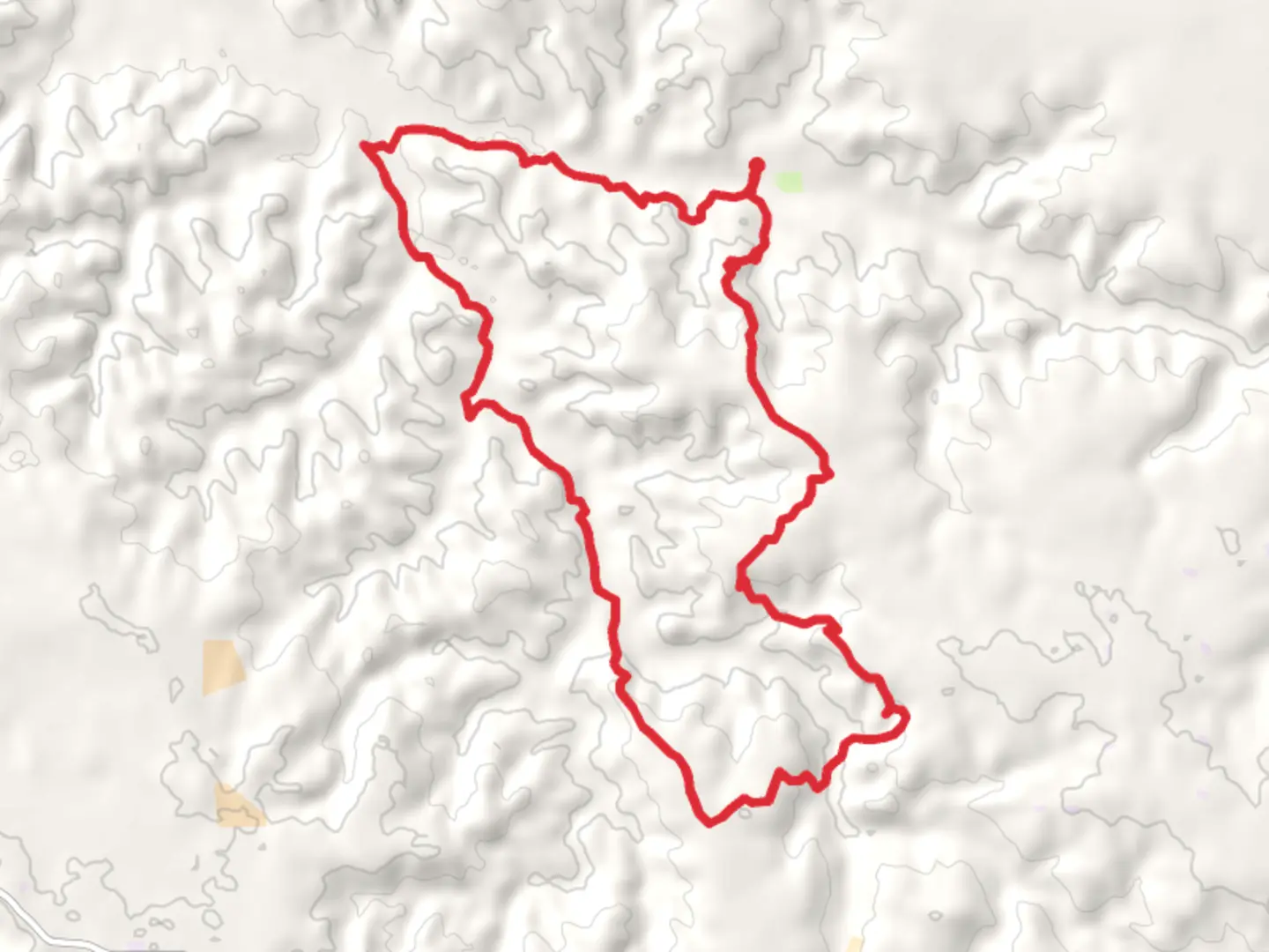
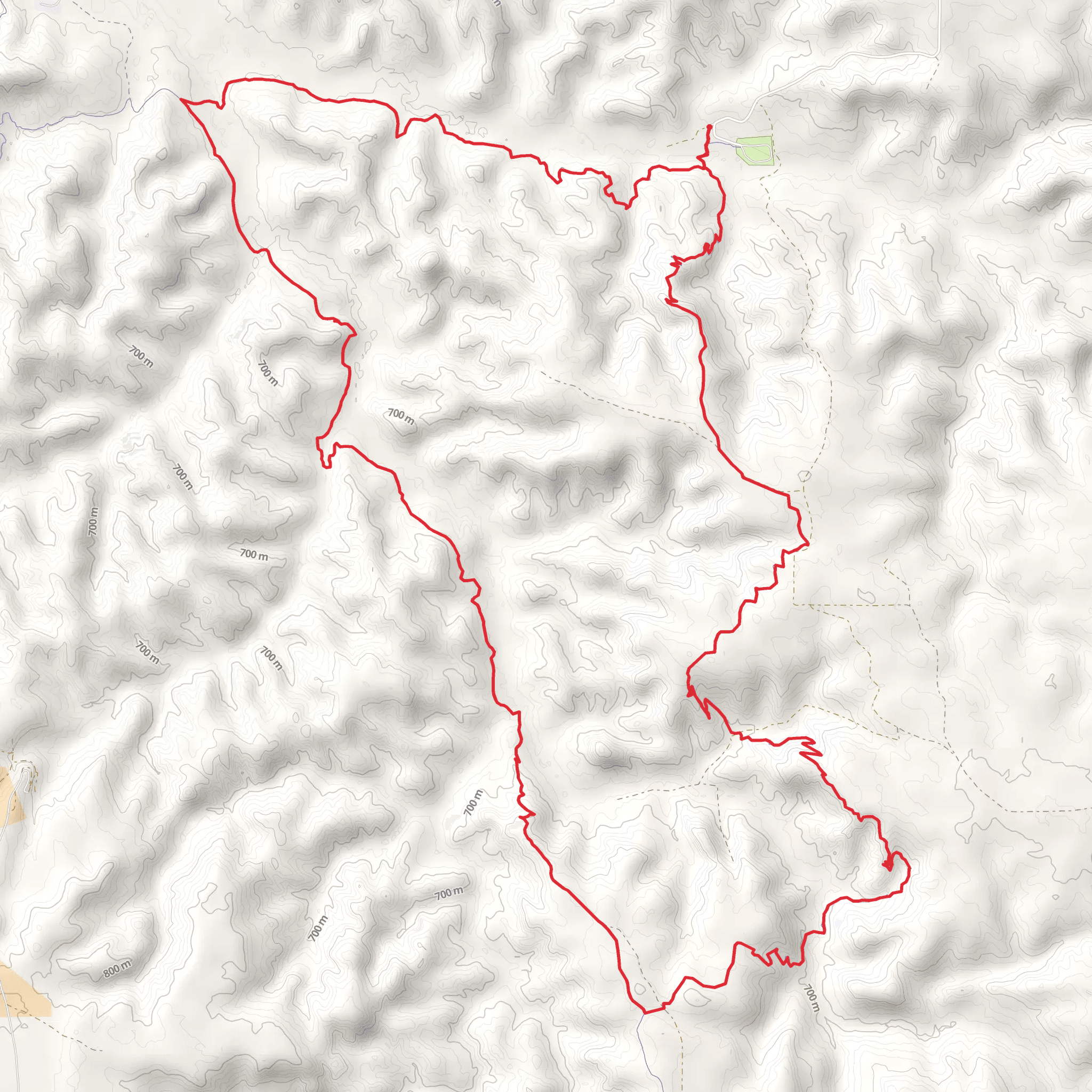
Starting near McKenzie County, North Dakota, the Cottonwood and Maah Daah Hey Loop Trail offers a captivating journey through the rugged beauty of the Badlands. This 24 km (approximately 15 miles) loop trail features an elevation gain of around 800 meters (about 2,625 feet), making it a moderately challenging hike suitable for those with a decent level of fitness.
Getting There To reach the trailhead, you can drive to the nearest significant landmark, Theodore Roosevelt National Park's North Unit. If you're using public transport, the closest major city is Dickinson, North Dakota. From Dickinson, you can rent a car or arrange for a shuttle service to the park. The trailhead is accessible via the park's entrance, and ample parking is available.
Trail Navigation For navigation, it's highly recommended to use the HiiKER app, which provides detailed maps and real-time updates. The trail is well-marked, but having a reliable navigation tool will ensure you stay on track.
Trail Highlights #### Scenic Views and Landmarks The trail offers stunning vistas of the Badlands, characterized by its unique rock formations and expansive grasslands. One of the most significant landmarks you'll encounter is the Little Missouri River, which meanders through the landscape, providing a picturesque backdrop for your hike.
#### Flora and Fauna The area is rich in biodiversity. Keep an eye out for bison, mule deer, and prairie dogs. Birdwatchers will be delighted by the presence of golden eagles, hawks, and various songbirds. The flora includes hardy prairie grasses, sagebrush, and cottonwood trees, which offer some shade along the trail.
Historical Significance The region holds historical significance as it was once traversed by Native American tribes, including the Mandan, Hidatsa, and Arikara. The area later became a focal point for early European explorers and settlers. The Maah Daah Hey Trail itself is named after a Mandan phrase meaning "an area that has been or will be around for a long time," reflecting the enduring natural beauty and cultural heritage of the region.
Trail Sections #### Initial Ascent The first section of the trail involves a steady ascent, gaining approximately 300 meters (about 985 feet) over the first 5 km (3 miles). This part of the trail offers panoramic views of the surrounding Badlands and is a great spot for photography.
#### Mid-Trail Plateau After the initial climb, the trail levels out onto a plateau. This section is relatively flat and stretches for about 10 km (6 miles). Here, you'll traverse open grasslands and can enjoy the tranquility of the prairie landscape.
#### Final Descent The last segment of the trail involves a descent back towards the trailhead, dropping around 500 meters (1,640 feet) over the final 9 km (6 miles). This part of the trail can be steep in sections, so take your time and watch your footing.
Preparation Tips - **Water and Hydration:** Carry at least 3 liters (about 100 ounces) of water, as there are limited water sources along the trail. - **Footwear:** Sturdy hiking boots with good ankle support are recommended due to the uneven terrain. - **Weather:** The weather can be unpredictable, so bring layers and be prepared for sudden changes. - **Wildlife:** Always maintain a safe distance from wildlife and store food securely to avoid attracting animals.
By following these guidelines and being well-prepared, you'll be able to fully enjoy the natural beauty and historical richness of the Cottonwood and Maah Daah Hey Loop Trail.
What to expect?
Activity types
Comments and Reviews
User comments, reviews and discussions about the Cottonwood and Maah Daah Hey Loop Trail, North Dakota.
4.5
average rating out of 5
258 rating(s)
