Download
Preview
Add to list
More
10.1 km
~2 hrs 2 min
17 m
Out and Back
“This accessible 10 km trail near Fargo, ND, blends serene landscapes, wildlife, and historical markers for a rewarding hike.”
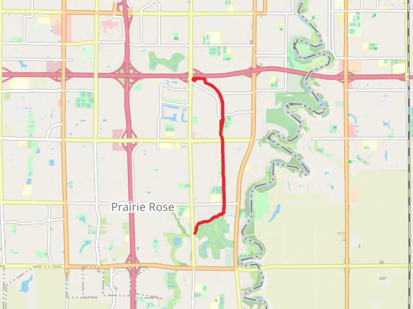
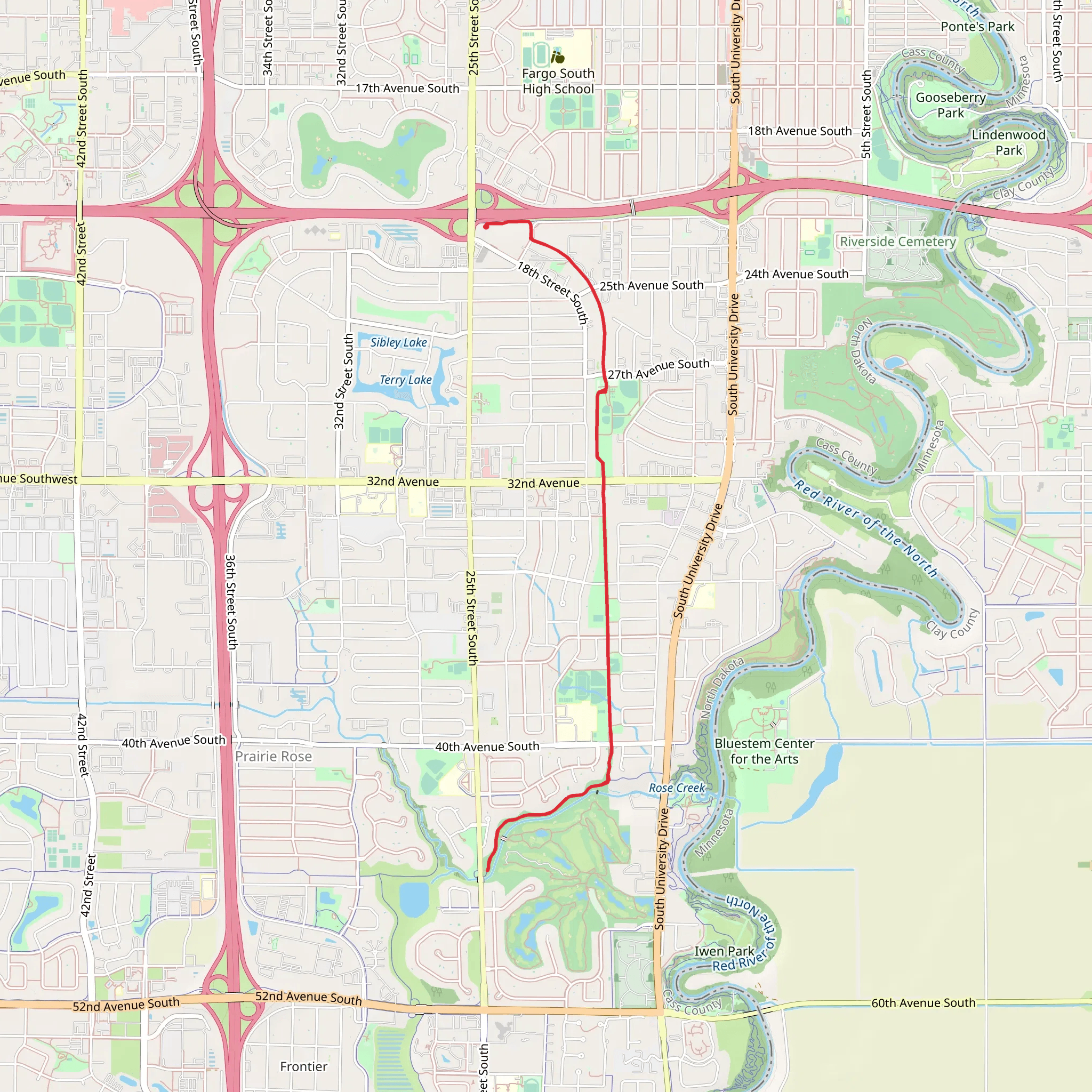
Starting near Cass County, North Dakota, this 10 km (approximately 6.2 miles) out-and-back trail offers a moderate hiking experience with virtually no elevation gain, making it accessible for a wide range of hikers. The trailhead is conveniently located near the intersection of 38th Street South and 52nd Avenue South in Fargo, ND, providing easy access whether you're arriving by car or public transport.
Getting There
For those driving, parking is available near the trailhead at 38th Street South and 52nd Avenue South. If you're using public transport, Fargo's MATBUS services the area with several bus stops within walking distance of the trailhead. Check the latest schedules on the MATBUS website to plan your trip.
Trail Overview
The trail begins at Here Park, a serene starting point with well-maintained facilities including restrooms and picnic areas. As you set off, you'll find the path is well-marked and primarily flat, making it suitable for families and casual hikers. The first 2 km (1.2 miles) meander through open fields and patches of woodland, offering a mix of sun and shade.
Points of Interest
#### Wildlife and Nature
Keep an eye out for local wildlife such as white-tailed deer, red foxes, and a variety of bird species including red-winged blackbirds and American goldfinches. The trail is particularly beautiful in the spring and fall when the foliage is either budding or changing colors.
#### Historical Significance
Around the 4 km (2.5 miles) mark, you'll come across a historical marker detailing the area's significance during the early settlement period of North Dakota. This region was once a vital part of the Red River Valley, known for its fertile soil and agricultural development in the late 19th century.
Navigation and Safety
Using HiiKER for navigation is highly recommended to ensure you stay on track and are aware of any trail updates or closures. The app provides real-time GPS tracking and detailed maps, which can be invaluable, especially if you're unfamiliar with the area.
Reaching Oak Creek Park
As you approach the 5 km (3.1 miles) point, you'll enter Oak Creek Park, a tranquil area perfect for a mid-hike break. The park features additional amenities such as benches, water fountains, and more picnic spots. It's an ideal place to rest before making the return journey.
Return Journey
The return journey retraces your steps back to Here Park, offering a different perspective on the same scenic route. The flat terrain ensures that the hike remains manageable, even for those who might be tired from the first half of the trek.
Final Tips
- Weather: Check the local weather forecast before heading out, as the trail can become muddy after rain. - Gear: Wear comfortable hiking shoes and bring plenty of water, especially during the warmer months. - Wildlife: While wildlife sightings are common, always maintain a safe distance and do not feed the animals.
This trail offers a delightful mix of natural beauty and historical context, making it a rewarding experience for anyone looking to explore the great outdoors near Cass County, North Dakota.
What to expect?
Activity types
Comments and Reviews
User comments, reviews and discussions about the Here Park to Oak Creek Park, North Dakota.
4.53
average rating out of 5
250 rating(s)
