Download
Preview
Add to list
More
12.6 km
~2 hrs 43 min
125 m
Loop
“Experience the stunning 13 km Lake Metigoshe Loop Path, featuring diverse landscapes and rich wildlife.”
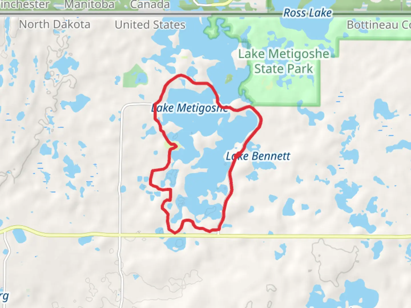
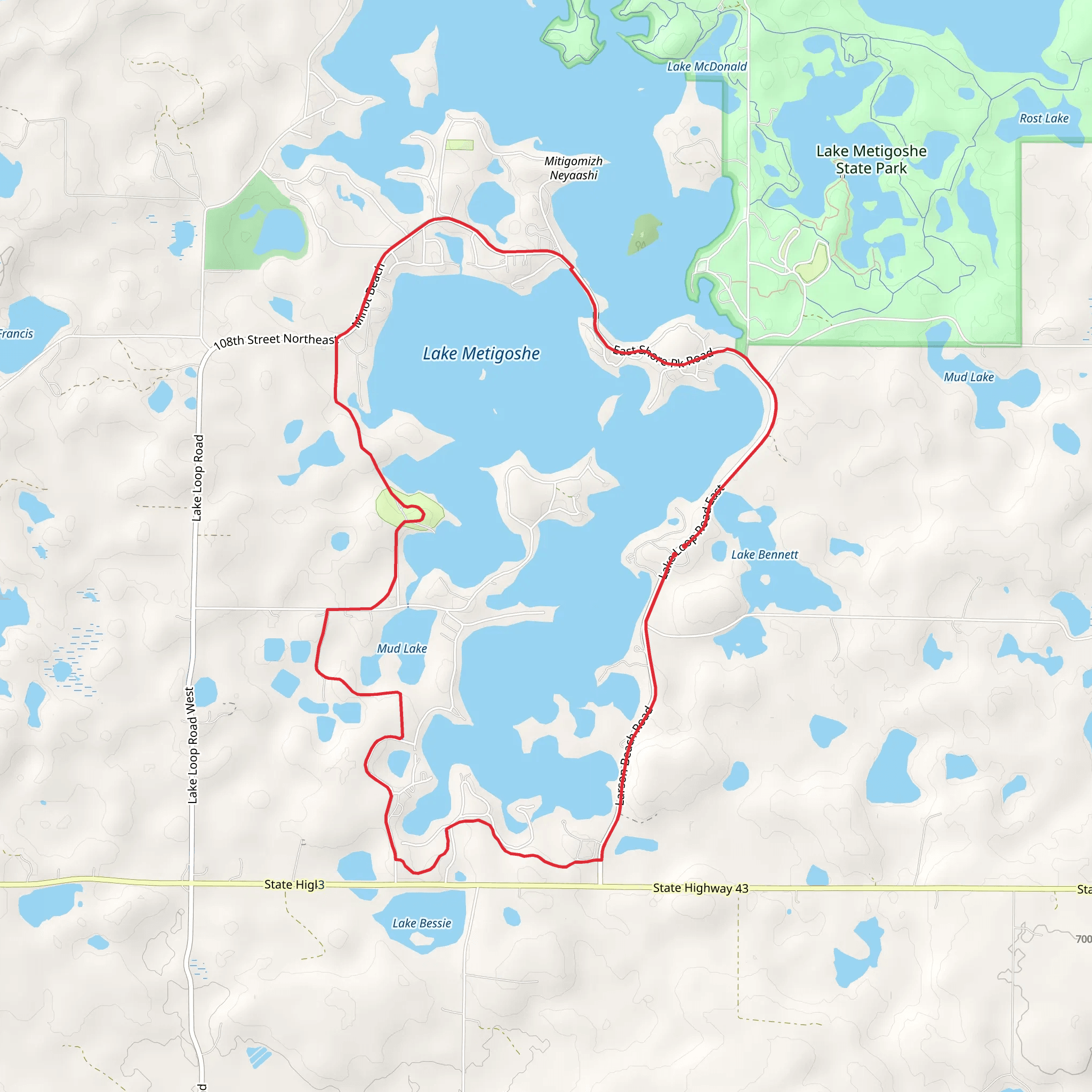
Starting near Bottineau County, North Dakota, the Lake Metigoshe Loop Path offers a scenic 13 km (8 miles) journey with an elevation gain of around 100 meters (328 feet). This loop trail is rated as medium difficulty, making it accessible for most hikers with a moderate level of fitness.
Getting There To reach the trailhead, you can drive or use public transport. If driving, head towards Lake Metigoshe State Park, which is well-signposted from Bottineau. The nearest significant landmark is the Lake Metigoshe State Park Visitor Center. For those using public transport, the closest bus stop is in Bottineau, from where you can take a taxi or rideshare to the park.
Trail Overview The trail begins at the Lake Metigoshe State Park Visitor Center. From here, you'll embark on a loop that takes you through diverse landscapes, including dense forests, open meadows, and along the shores of Lake Metigoshe. The trail is well-marked, but it's always a good idea to have a reliable navigation tool like HiiKER to ensure you stay on track.
Key Landmarks and Sections - **Forest Section (0-3 km / 0-1.9 miles):** The first part of the trail winds through a dense forest of oak, birch, and aspen trees. This section is relatively flat, with a gentle incline as you progress. Keep an eye out for white-tailed deer and various bird species, including woodpeckers and warblers. - **Meadow and Wetlands (3-6 km / 1.9-3.7 miles):** As you exit the forest, the trail opens up into a series of meadows and wetlands. This area is particularly beautiful in the spring and summer when wildflowers are in full bloom. Be cautious of wet and muddy patches, especially after rain.
- Lake Shore (6-9 km / 3.7-5.6 miles): The trail then follows the shoreline of Lake Metigoshe, offering stunning views of the water. This is a great spot to take a break and enjoy a picnic. You might spot loons, ducks, and even the occasional beaver along the shore.
- Historical Section (9-11 km / 5.6-6.8 miles): As you loop back towards the starting point, you'll pass through an area with historical significance. Look for interpretive signs that provide information about the indigenous peoples who once inhabited this region and the early European settlers.
- Final Stretch (11-13 km / 6.8-8 miles): The last part of the trail takes you back through the forest, gradually descending towards the trailhead. This section is relatively easy, allowing you to cool down and reflect on the hike.
Wildlife and Flora The Lake Metigoshe Loop Path is rich in wildlife and plant diversity. In addition to deer and birds, you might encounter raccoons, foxes, and a variety of amphibians in the wetter areas. The flora ranges from towering oaks and maples to delicate wildflowers and ferns.
Preparation and Safety Given the moderate difficulty of the trail, it's advisable to wear sturdy hiking boots and bring plenty of water, especially during the warmer months. Weather can change rapidly, so pack a rain jacket and layers. Always let someone know your hiking plans and estimated return time.
Using HiiKER for navigation will help you stay on course and provide additional information about the trail as you hike. Enjoy the natural beauty and historical richness of the Lake Metigoshe Loop Path.
What to expect?
Activity types
Comments and Reviews
User comments, reviews and discussions about the Lake Metigoshe Loop Path, North Dakota.
4.52
average rating out of 5
248 rating(s)
