Download
Preview
Add to list
More
17.7 km
~4 hrs 23 min
502 m
Out and Back
“Immerse yourself in North Dakota Badlands' rugged beauty on the historic, wildlife-rich Maah Daah Hey Trail.”
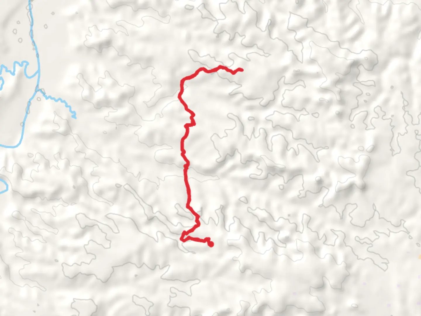
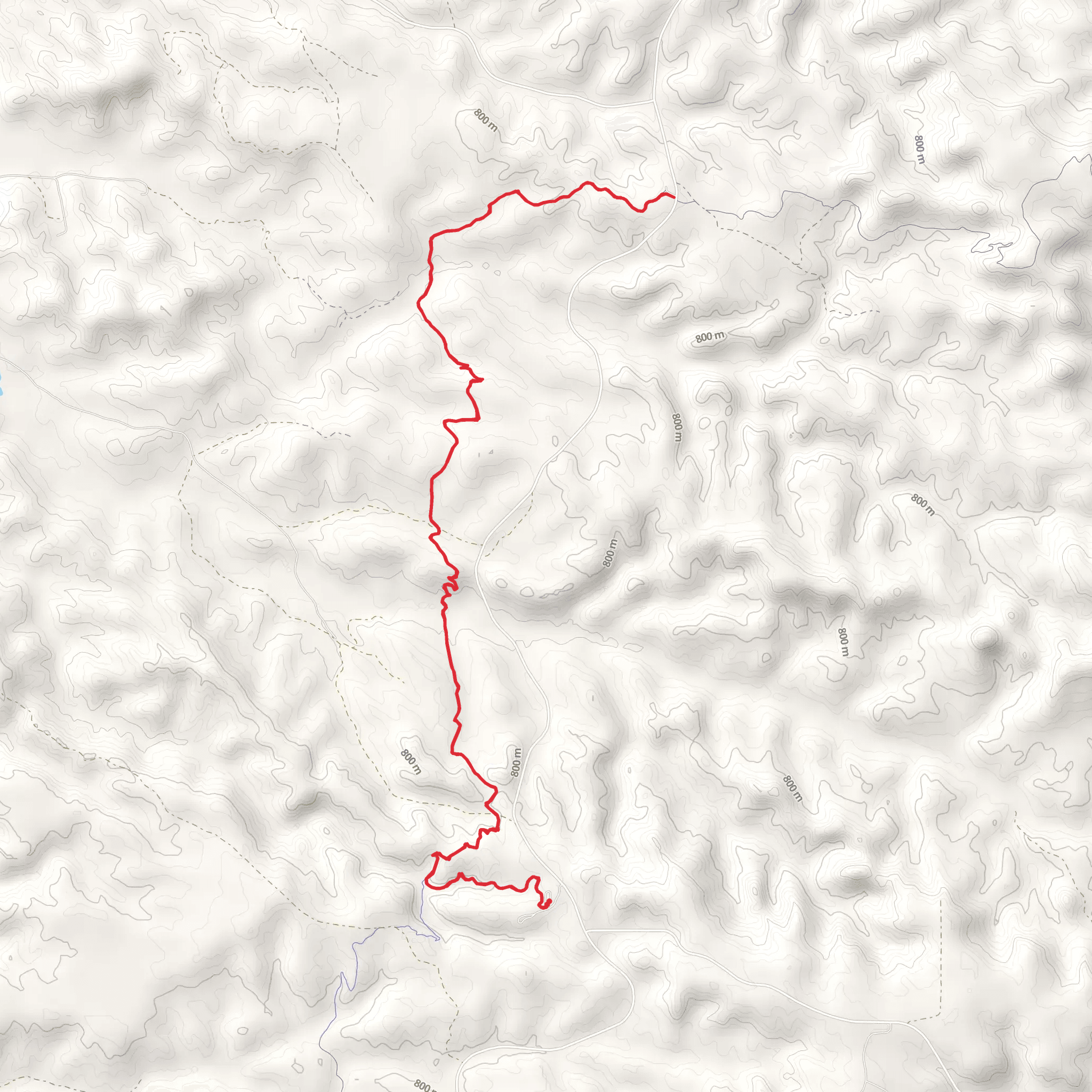
Starting near Billings County, North Dakota, the Coal Creek and Maah Daah Hey Trail offers an 18 km (approximately 11.2 miles) out-and-back adventure with an elevation gain of around 500 meters (1,640 feet). This medium-difficulty trail is perfect for those looking to immerse themselves in the rugged beauty of the North Dakota Badlands.
Getting There To reach the trailhead, you can drive to the nearest significant landmark, which is the Theodore Roosevelt National Park's South Unit Visitor Center. From there, it's a short drive to the trailhead. If you're relying on public transport, the nearest major city is Dickinson, ND. From Dickinson, you can rent a car or arrange for a shuttle service to the trailhead.
Trail Overview The trail begins with a gentle ascent, allowing you to ease into the hike. As you progress, the terrain becomes more varied, featuring rolling hills and steep inclines. The first significant landmark you'll encounter is Coal Creek, approximately 3 km (1.9 miles) into the hike. This creek is a great spot to take a short break and enjoy the serene surroundings.
Flora and Fauna The trail is rich in diverse plant life, including sagebrush, juniper, and various wildflowers, especially vibrant in the spring and early summer. Wildlife is abundant; keep an eye out for mule deer, pronghorn antelope, and the occasional bison. Birdwatchers will also be delighted by the presence of golden eagles, hawks, and prairie falcons.
Historical Significance The Maah Daah Hey Trail is steeped in history. The name "Maah Daah Hey" comes from the Mandan language, meaning "an area that has been or will be around for a long time." This trail was historically used by Native American tribes for hunting and travel. As you hike, you'll notice remnants of old homesteads and possibly even some petrified wood, a testament to the area's ancient geological history.
Navigation and Safety Given the trail's remote location, it's crucial to have a reliable navigation tool. HiiKER is highly recommended for its detailed maps and real-time updates. The trail is well-marked, but it's always wise to have a backup. Weather can be unpredictable, so pack layers and be prepared for sudden changes.
Key Points of Interest - **Coal Creek**: At around 3 km (1.9 miles), this is a picturesque spot for a break. - **Badlands Overlook**: Approximately 7 km (4.3 miles) in, you'll reach an overlook offering panoramic views of the Badlands. The elevation gain to this point is about 250 meters (820 feet). - **Wildlife Viewing Areas**: Scattered throughout the trail, these areas are prime spots for observing local fauna.
Final Stretch The final stretch of the trail involves a steady climb, bringing the total elevation gain to around 500 meters (1,640 feet). The endpoint offers a rewarding view of the surrounding landscape, making the effort well worth it. After taking in the scenery, you'll retrace your steps back to the trailhead.
This trail offers a balanced mix of natural beauty, historical significance, and moderate physical challenge, making it a must-visit for any hiking enthusiast.
What to expect?
Activity types
Comments and Reviews
User comments, reviews and discussions about the Coal Creek and Maah Daah Hey Trail, North Dakota.
4.47
average rating out of 5
245 rating(s)
