Download
Preview
Add to list
More
7.0 km
~1 hrs 45 min
213 m
Out and Back
“Embark on Boone Fork via Old John's River Road for a scenic, historic 7 km adventure in NC's beauty.”
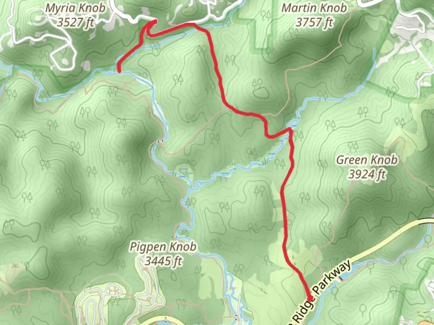
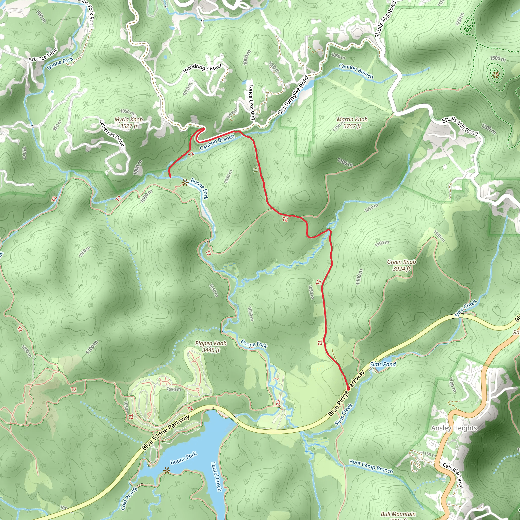
Starting near Watauga County, North Carolina, the Boone Fork via Old John's River Road trail offers a captivating 7 km (4.3 miles) out-and-back journey with an elevation gain of approximately 200 meters (656 feet). This medium-difficulty trail is perfect for those looking to immerse themselves in the natural beauty and historical richness of the region.
Getting There
To reach the trailhead, you can drive or use public transportation. If driving, head towards the Julian Price Memorial Park, located off the Blue Ridge Parkway. The nearest significant landmark is the Julian Price Campground, which serves as a convenient starting point. For those using public transport, the nearest bus stop is in Boone, North Carolina. From Boone, you can take a taxi or rideshare service to the Julian Price Memorial Park.
Trail Overview
The trail begins at the Julian Price Campground, where you'll find ample parking and restroom facilities. As you set off, the path meanders through dense hardwood forests, offering a canopy of shade that makes the hike pleasant even on warmer days. The initial section is relatively flat, allowing you to ease into the hike.
Key Landmarks and Nature
#### Boone Fork Creek
About 1.5 km (0.9 miles) into the hike, you'll encounter Boone Fork Creek. This picturesque creek is a great spot for a short break. The sound of flowing water and the sight of small cascades create a serene atmosphere. Keep an eye out for native brook trout in the clear waters.
#### Flora and Fauna
The trail is rich in biodiversity. You'll pass through areas abundant with rhododendrons, mountain laurels, and various species of ferns. During spring and early summer, the trail is adorned with wildflowers, adding a splash of color to your hike. Wildlife sightings are common, with white-tailed deer, wild turkeys, and occasionally black bears making appearances. Birdwatchers will also enjoy spotting species like the Eastern Bluebird and the Pileated Woodpecker.
Historical Significance
The Old John's River Road section of the trail has historical significance dating back to the early settlers of the region. This old road was once a vital route for transporting goods and connecting communities. As you hike, imagine the early pioneers who traversed these paths, contributing to the rich history of Watauga County.
Elevation and Terrain
As you progress, the trail begins to ascend more steeply, gaining around 200 meters (656 feet) in elevation. The terrain varies from packed dirt to rocky sections, requiring sturdy footwear. The ascent is gradual but steady, making it manageable for hikers with a moderate level of fitness.
Navigation
For navigation, it's recommended to use the HiiKER app, which provides detailed maps and real-time updates. The trail is well-marked, but having a reliable navigation tool ensures you stay on track and can explore with confidence.
Final Stretch
The final stretch of the trail offers stunning views of the surrounding Blue Ridge Mountains. On clear days, you can see for miles, making the effort well worth it. The turnaround point is marked by a scenic overlook, perfect for taking photos and enjoying a well-deserved rest before heading back.
Return Journey
The return journey follows the same path, allowing you to appreciate the trail from a different perspective. The descent is easier on the legs, and you'll find yourself back at the Julian Price Campground in no time.
This trail offers a blend of natural beauty, historical context, and moderate physical challenge, making it a rewarding experience for hikers of all levels.
What to expect?
Activity types
Comments and Reviews
User comments, reviews and discussions about the Boone Fork via Old John's River Road, North Carolina.
4.56
average rating out of 5
16 rating(s)
