Download
Preview
Add to list
More
20.5 km
~2 days
1106 m
Multi-Day
“Embark on the scenic, historic Rich Gap via Long Hungry Ridge Trail for an Appalachian adventure.”
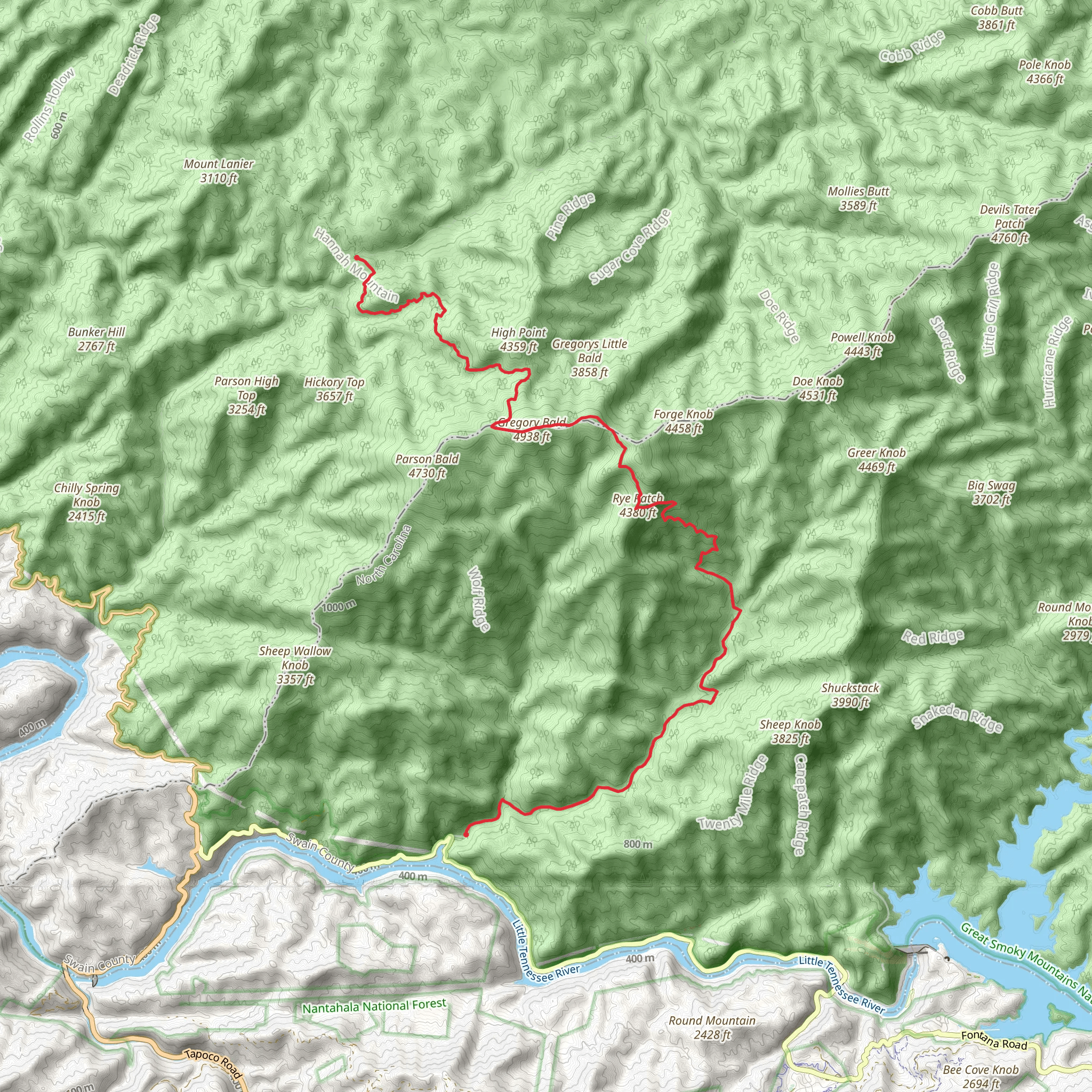
The Rich Gap via Long Hungry Ridge Trail is a moderately challenging point-to-point hike located near Swain County, North Carolina. Spanning approximately 21 kilometers (13 miles) with an elevation gain of around 1100 meters (3600 feet), this trail offers a diverse and rewarding experience for those looking to explore the southern Appalachian wilderness.
Getting to the Trailhead To reach the trailhead, you can drive to the end of Lakeview Drive East, also known as the "Road to Nowhere," near Bryson City, North Carolina. This road ends at a parking area where the trail begins. Public transportation options are limited in this region, so arriving by car is the most feasible option.
Trail Experience As you embark on your hike, the trail will take you through a lush forest setting, characterized by a canopy of hardwoods and a variety of flora, including wildflowers in the spring and summer months. The path is well-marked and maintained, but it's always wise to have a reliable navigation tool like HiiKER to ensure you stay on track.
Landmarks and Scenery One of the highlights of this trail is the serene beauty of the Nantahala National Forest. You'll encounter streams and the occasional waterfall, providing a soothing soundtrack to your hike. The trail also offers several vantage points with panoramic views of the surrounding mountains, especially during the ascent to Rich Gap.
Wildlife and Nature The area is home to an array of wildlife, so keep an eye out for deer, black bears, and a variety of bird species. Remember to practice bear safety by making noise and securing food.
Historical Significance The region holds historical significance as part of the Trail of Tears National Historic Trail. As you hike, consider the cultural and historical impact of the area, which was once a passage for the Cherokee people during their forced removal in the 1830s.
Preparation and Planning Before setting out, ensure you have adequate water, food, and layers for changing weather conditions. The elevation gain is significant, so pace yourself and take breaks as needed. It's also advisable to inform someone of your hiking plans and expected return time.
Navigation and Safety While the trail is well-defined, having a digital map on hand with HiiKER can be invaluable for staying oriented and aware of your progress. Always check the weather forecast before your hike and be prepared for the possibility of rapidly changing conditions in the mountains.
Remember, this trail is not a loop, so you'll need to arrange transportation back to your starting point or be prepared for a round trip hike. With proper preparation and respect for the natural environment, your journey on the Rich Gap via Long Hungry Ridge Trail will be a memorable adventure in the heart of Appalachia.
Comments and Reviews
User comments, reviews and discussions about the Rich Gap via Long Hungry Ridge Trail, North Carolina.
4.33
average rating out of 5
3 rating(s)

