Download
Preview
Add to list
More
11.2 km
~3 hrs 0 min
465 m
Loop
“Embark on a scenic, history-rich ascent up Pilot Mountain via the Grindstone Trail, revealing breathtaking vistas and diverse ecosystems.”
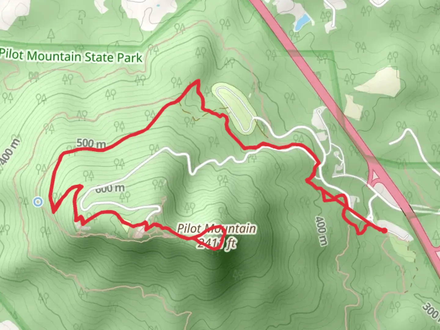
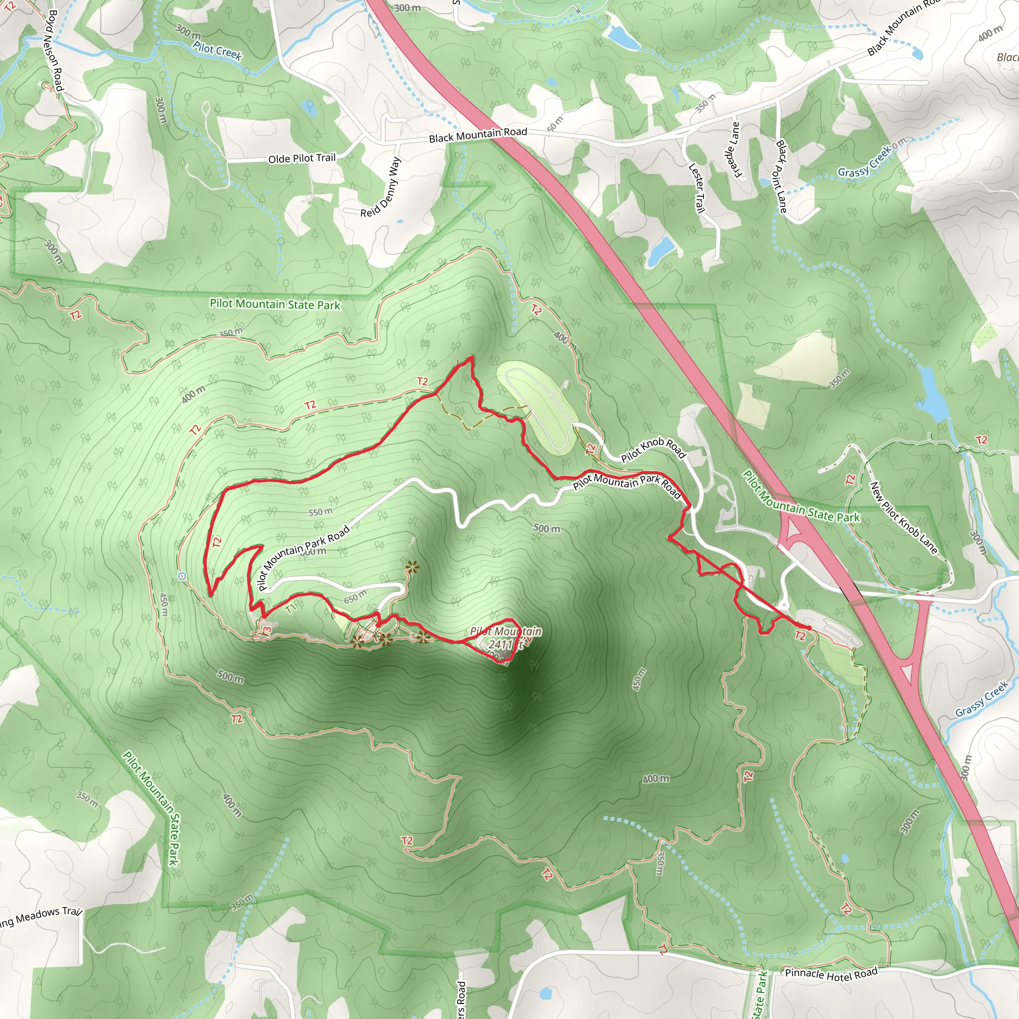
The Pilot Mountain via Grindstone Trail offers a moderately challenging hike that spans approximately 11 kilometers (about 6.8 miles) with an elevation gain of around 400 meters (roughly 1,300 feet). This loop trail is nestled near Surry County, North Carolina, and is known for its scenic vistas and unique geological features.
Getting to the Trailhead To reach the trailhead, you can drive to Pilot Mountain State Park, which is easily accessible from major highways. If you're coming from Winston-Salem, take US-52 N for about 32 kilometers (20 miles) until you reach the Pilot Mountain State Park exit. Public transportation options are limited, so driving is the most feasible way to get to the park. Once you arrive, parking is available near the visitor center, which is a significant landmark and a good starting point for your hike.
Navigating the Trail As you embark on the Grindstone Trail, you'll begin a steady climb through a mixed hardwood forest. The trail is well-marked, but it's always wise to have a reliable navigation tool like HiiKER to ensure you stay on the right path. The first section of the trail will take you through a series of switchbacks, which help manage the ascent's gradient.
Natural Features and Wildlife As you ascend, you'll notice the flora and fauna change with the elevation. Keep an eye out for various bird species, including the pileated woodpecker and the occasional sight of soaring raptors above. The underbrush may rustle with small mammals, and the canopy above is home to an array of native trees, such as oaks and pines.
Historical Significance Pilot Mountain, known as Jomeokee to the Native Americans, has a rich history. The mountain served as a navigational landmark for both indigenous peoples and early European settlers. The surrounding area played a role during the Revolutionary and Civil Wars, adding a layer of historical depth to your hike.
Reaching the Summit After about 5.5 kilometers (3.4 miles), you'll approach the main overlook. Here, you'll be rewarded with panoramic views of the Blue Ridge Mountains and the iconic Pilot Mountain pinnacle. The pinnacle itself is a remnant of the ancient Sauratown Mountains and rises to a majestic height, offering a unique geological spectacle.
Completing the Loop Continuing on the loop, the trail will begin to descend, looping back towards the trailhead. This section is less strenuous but still requires careful footing as you navigate the downhill terrain. The descent offers a different perspective of the landscape, with occasional clearings providing glimpses of the valley below.
Preparation and Planning Before setting out, ensure you have adequate water, as there are no refill stations along the trail. Weather can change rapidly, so pack layers and be prepared for varying conditions. Sturdy hiking boots are recommended due to the rocky and sometimes uneven terrain. Lastly, check the state park's website for any trail updates or closures.
Remember, while the trail is rated medium in difficulty, it's important to assess your own fitness level and hiking experience before attempting the hike. Take breaks as needed, and always practice Leave No Trace principles to preserve the beauty of Pilot Mountain for future visitors.
What to expect?
Activity types
Comments and Reviews
User comments, reviews and discussions about the Pilot Mountain via Grindstone Trail, North Carolina.
4.35
average rating out of 5
17 rating(s)
