Download
Preview
Add to list
More
4.4 km
~1 hrs 4 min
111 m
Out and Back
“Embark on the Rose Creek Trail for a scenic, moderately challenging hike through lush forests and historical landmarks.”
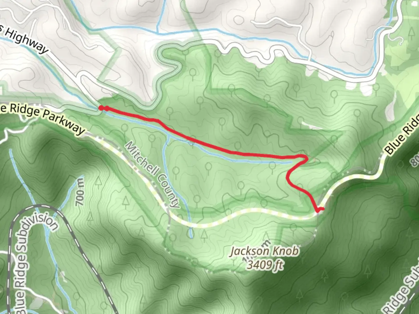
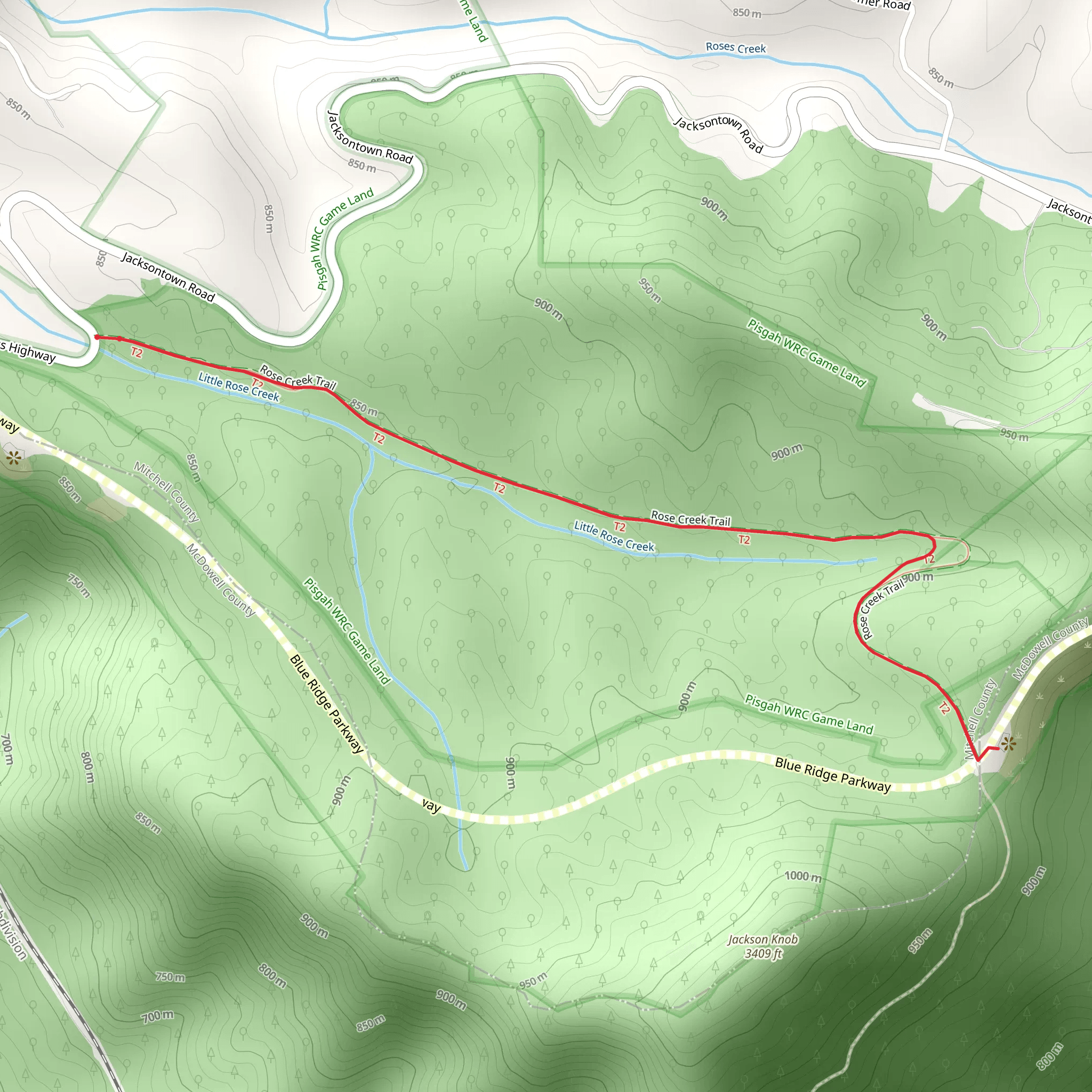
Starting near Mitchell County, North Carolina, the Rose Creek Trail offers a delightful 4 km (2.5 miles) out-and-back hike with an elevation gain of approximately 100 meters (328 feet). This medium-difficulty trail is perfect for those looking to immerse themselves in the natural beauty of the region while enjoying a moderately challenging hike.
Getting There To reach the trailhead, you can drive or use public transportation. If driving, head towards the town of Bakersville, NC, and follow signs to the Roan Mountain area. The nearest significant landmark is the Roan Mountain State Park, which is a good reference point for navigation. For those using public transport, the closest major bus station is in Asheville, NC. From Asheville, you can take a local bus or arrange a taxi or rideshare to the trailhead.
Trail Overview The trail begins with a gentle ascent through a lush forest, characterized by a mix of hardwoods and evergreens. Early in the hike, you'll cross a small wooden bridge over Rose Creek, which gives the trail its name. This is a great spot to pause and enjoy the sound of the flowing water.
Flora and Fauna As you continue, keep an eye out for the diverse plant life. In spring and early summer, the trail is adorned with wildflowers such as trillium, lady's slipper orchids, and rhododendrons. The forest is also home to a variety of wildlife, including white-tailed deer, eastern box turtles, and numerous bird species like the Carolina chickadee and the red-tailed hawk.
Significant Landmarks About 1.5 km (0.9 miles) into the hike, you'll come across an old stone chimney, a remnant of a homestead from the early 1900s. This spot offers a glimpse into the region's history and is a great place to take a break and reflect on the lives of the early settlers.
Elevation Gain and Terrain The trail's elevation gain is gradual but steady. After the initial 2 km (1.2 miles), the path becomes steeper as you approach the highest point. The terrain is mostly packed dirt with occasional rocky sections, so sturdy hiking boots are recommended. The final stretch rewards you with a panoramic view of the surrounding mountains and valleys, making the climb well worth the effort.
Navigation and Safety For navigation, it's advisable to use the HiiKER app, which provides detailed maps and real-time updates. The trail is well-marked, but having a reliable navigation tool ensures you stay on track. Be mindful of the weather, as the trail can become slippery after rain. Always carry enough water, snacks, and a basic first aid kit.
Return Journey The return journey follows the same path, allowing you to enjoy the scenery from a different perspective. As you descend, take your time to appreciate the tranquility of the forest and the beauty of Rose Creek.
This trail offers a perfect blend of natural beauty, historical significance, and moderate physical challenge, making it a rewarding experience for hikers of all levels.
What to expect?
Activity types
Comments and Reviews
User comments, reviews and discussions about the Rose Creek Trail, North Carolina.
4.45
average rating out of 5
11 rating(s)
