Download
Preview
Add to list
More
5.3 km
~1 hrs 30 min
268 m
Loop
“Embrace the Buck Knob Trail's serene beauty and historical depth on a moderate loop through North Carolina's vibrant forests.”
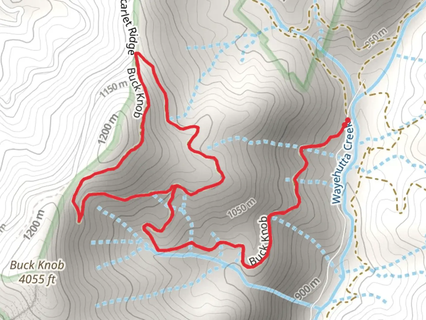
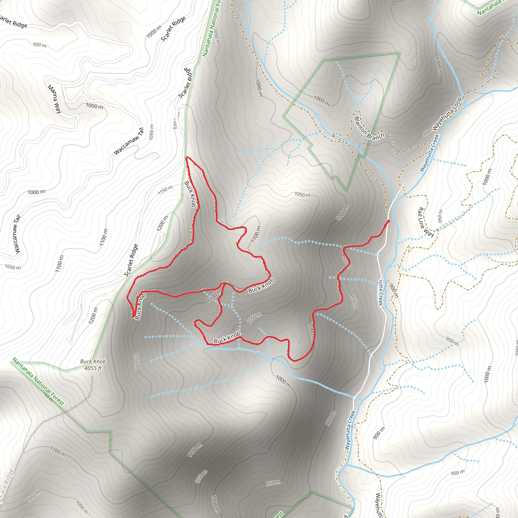
The Buck Knob Trail, nestled near Jackson County in North Carolina, offers a moderately challenging loop that spans approximately 5 kilometers (about 3.1 miles) with an elevation gain of around 200 meters (656 feet). This trail is a delightful excursion for those looking to immerse themselves in the lush forests of the region.
Getting There
To reach the trailhead, hikers can drive to the closest significant landmark, the Cashiers, a charming community in the heart of the Blue Ridge Mountains. From Cashiers, take Highway 107 North for about 10 kilometers (6.2 miles) until you see the sign for the Buck Knob Trail on the right. There is a small parking area near the trailhead where you can leave your car. Public transportation options are limited in this rural area, so driving is the most feasible way to access the trail.
Trail Experience
As you embark on the Buck Knob Trail, the path meanders through a dense canopy of deciduous trees, which offer a kaleidoscope of colors in the fall and a cool, shaded hike in the summer months. The first kilometer (0.6 miles) of the trail is a gentle ascent, allowing hikers to warm up before the more significant elevation changes ahead.
Flora and Fauna
The trail is a haven for wildlife enthusiasts, with opportunities to spot white-tailed deer, wild turkeys, and a variety of bird species. The undergrowth is rich with native plants, including wildflowers in the spring and summer, such as trilliums and lady's slippers. Hikers should be aware of the presence of black bears in the area and know how to safely hike in bear country.
Historical Significance
The region around the Buck Knob Trail is steeped in history. The area was once home to the Cherokee people before European settlers arrived. As you hike, consider the centuries of history beneath your feet, from ancient Native American trails to the logging operations that reshaped the landscape in the early 20th century.
Navigating the Trail
At about the halfway point, the trail reaches its highest elevation, offering a vantage point with views of the surrounding mountains. The descent begins shortly after, with switchbacks easing the grade. Hikers can use the HiiKER app to navigate the trail, ensuring they stay on the correct path and can anticipate the changes in terrain.
Preparation and Safety
Before setting out, hikers should be prepared with adequate water, snacks, and layers of clothing to adjust to changing weather conditions. Sturdy hiking boots are recommended, as the trail can be rocky and root-filled in places. It's also wise to carry a map and compass or a charged smartphone with the HiiKER app downloaded for navigation.
Remember to leave no trace, packing out all trash and respecting the natural environment. The Buck Knob Trail is a beautiful representation of North Carolina's natural heritage and offers an enjoyable experience for those looking to explore the great outdoors.
Comments and Reviews
User comments, reviews and discussions about the Buck Knob Trail, North Carolina.
4.25
average rating out of 5
8 rating(s)
