Download
Preview
Add to list
More
17.0 km
~4 hrs 43 min
793 m
Point-to-Point
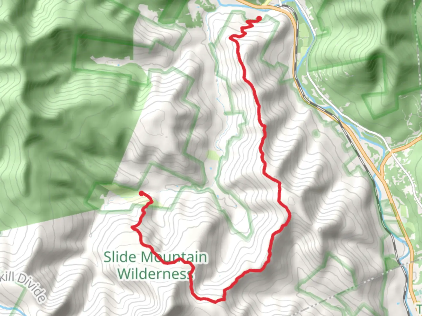
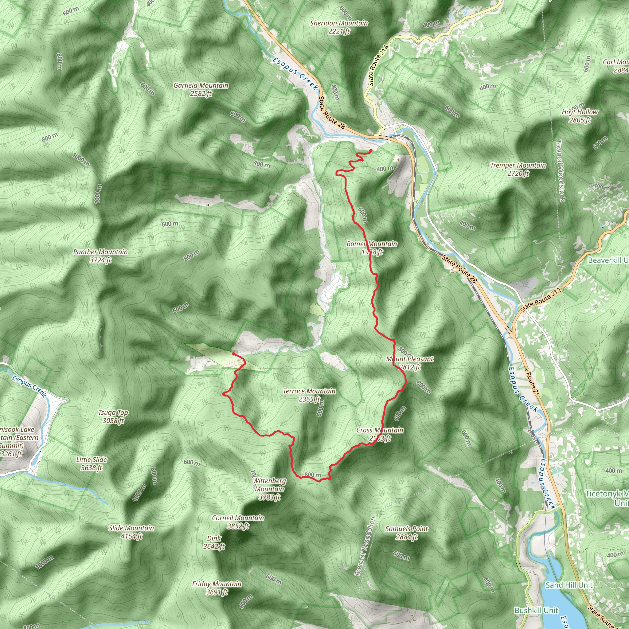
Romer Mountain and Cross Mountain TrailStarting at the trailhead near Ulster County, New York, the Romer Mountain and Cross Mountain trail offers a point-to-point hike that spans approximately 17 kilometers (about 10.5 miles) with an elevation gain of around 700 meters (about 2300 feet). This medium-difficulty hike is a journey through the scenic Catskill Mountains, providing hikers with a blend of natural beauty and historical significance.### Accessing the TrailheadTo reach the starting point of the trail, hikers can drive to the vicinity of Phoenicia, New York, which is the nearest town to the trailhead. For those relying on public transportation, buses serve the area and can drop passengers off in Phoenicia. From there, it's a short taxi ride or a possible walk to the trailhead, depending on the bus drop-off location.### The HikeAs you embark on the trail, the initial section meanders through a deciduous forest, with the canopy providing shade and the undergrowth offering a lush green contrast. The path is well-marked, but hikers should always carry a reliable navigation tool like HiiKER to ensure they stay on track.The ascent begins gently, with the trail gradually becoming steeper as you approach Romer Mountain. At around the 4-kilometer (2.5-mile) mark, you'll reach the summit of Romer Mountain, which offers the first of many panoramic views. The elevation here is significant, and you'll feel the majority of the climb as you approach this point.Continuing on, the trail descends into a saddle before climbing again toward Cross Mountain. This section is characterized by a series of switchbacks that make the elevation gain more manageable. The mixed forest around you is home to a variety of wildlife, including white-tailed deer, black bears, and numerous bird species. Hikers should be aware of their surroundings and know how to safely encounter wildlife.### Historical SignificanceThe Catskill Mountains are steeped in history, with the region playing a role in the early development of American conservation efforts and tourism. As you hike, consider the fact that these trails follow paths that were once used by the indigenous peoples of the region and later by settlers and naturalists who sought to protect the beauty of the Catskills.### Landmarks and SceneryAfter the second major ascent, you'll reach the summit of Cross Mountain at around the 8.5-kilometer (5.3-mile) mark. Here, you'll be treated to another set of stunning views, including a look back at Romer Mountain and the surrounding peaks and valleys. The trail then continues, undulating over the landscape, providing a mix of climbs and descents.The trail is marked by rock cairns and blazes, but due to the remote nature of some sections, it's important to keep your navigation tools handy. The path can become rocky and root-filled in places, so sturdy hiking boots are recommended.### Conclusion of the TrailAs you near the end of the trail, the descent becomes more pronounced, leading you toward the final stretch. The trail concludes in a different location from where you started, so hikers should plan for transportation at the end of the hike or be prepared for a return journey on foot or by arranging a shuttle back to the trailhead.### PreparationBefore setting out, ensure you have enough water and food for the journey, as there are no facilities along the trail. Weather in the Catskills can change rapidly, so layered clothing and rain gear are advisable. Lastly, leave no trace principles should be followed to preserve the trail and its surroundings for future hikers.
What to expect?
Activity types
Comments and Reviews
User comments, reviews and discussions about the Romer Mountain and Cross Mountain, New York.
4.4
average rating out of 5
5 rating(s)
