Download
Preview
Add to list
More
25.4 km
~1 day 2 hrs
1265 m
Out and Back
“Trek through history and nature on a moderately challenging, scenic 25km hike in Schoharie County.”
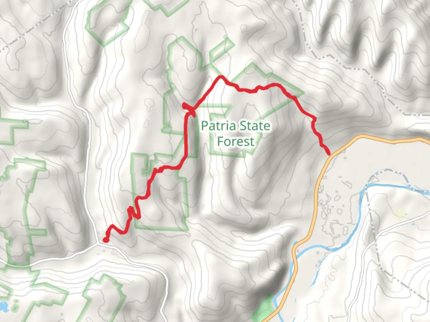
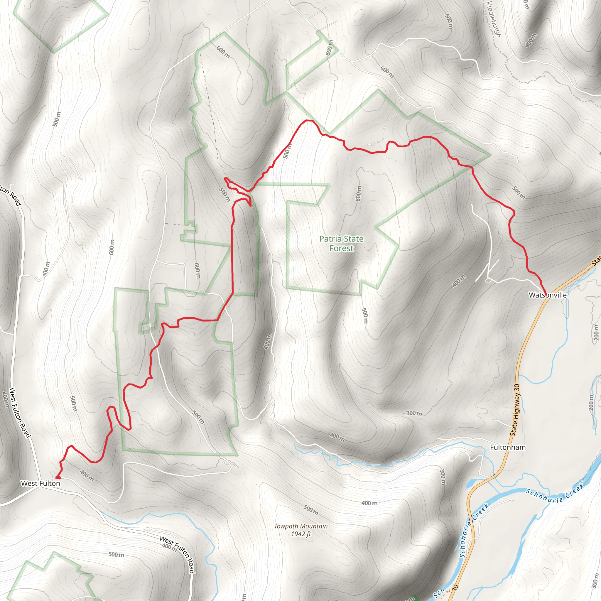
Embarking on the West Fulton to Wastonville trail, hikers can anticipate a journey of approximately 25 kilometers (about 15.5 miles) with an elevation gain of around 1200 meters (roughly 3937 feet). This out-and-back trail, nestled near Schoharie County, New York, offers a medium difficulty rating, making it accessible to hikers with some experience looking for a moderately challenging day hike.
Getting to the Trailhead To reach the starting point of the trail, hikers can drive to the vicinity of West Fulton, New York. The trailhead is conveniently located near the intersection of key local roads, making it accessible by car. For those relying on public transportation, options may be limited, and it's advisable to check the latest schedules for regional buses that service the broader area. Upon arrival, parking areas are typically available near the trailhead for convenience.
Navigating the Trail As you set out, the trail meanders through a diverse landscape of dense forests and rolling hills. Hikers can utilize the HiiKER app to navigate the trail, ensuring they stay on the correct path and can monitor their progress. The app provides detailed maps and waypoints that are invaluable for a smooth hiking experience.
Natural Features and Wildlife The trail boasts a rich tapestry of flora and fauna. As you ascend through the hardwood forests, keep an eye out for the variety of bird species that call this region home. The dense canopy above may occasionally open up to reveal breathtaking vistas of the surrounding countryside. In the spring and summer months, the trail is lined with a vibrant display of wildflowers.
Historical Significance The area around West Fulton to Wastonville is steeped in history. The region was once a bustling part of early American rural life, with remnants of old farms and settlements occasionally visible along the trail. Hikers with an interest in history will appreciate the subtle signs of past inhabitants that have left their mark on the landscape.
Landmarks and Points of Interest Approximately halfway through the hike, at around the 12.5-kilometer (7.8-mile) mark, you'll encounter a natural overlook that provides a panoramic view of the valley below. This spot is an ideal place for a rest and a photo opportunity. As you approach the turnaround point in Wastonville, the trail descends slightly, offering a different perspective of the area's natural beauty.
Preparation and Safety Before setting out, ensure you have adequate water, as there are limited sources along the trail. It's also wise to pack snacks and a first-aid kit. Weather can change rapidly in this region, so dress in layers and be prepared for varying conditions. Always let someone know your hiking plans and expected return time.
Conclusion The West Fulton to Wastonville trail is a rewarding experience for those seeking to immerse themselves in nature and history. With its moderate difficulty, it provides an engaging hike that is both physically and visually stimulating. Whether you're a seasoned hiker or someone looking to explore the beauty of Schoharie County, this trail is a splendid choice for a day's adventure.
What to expect?
Activity types
Comments and Reviews
User comments, reviews and discussions about the West Fulton to Wastonville, New York.
4.4
average rating out of 5
5 rating(s)
