Download
Preview
Add to list
More
22.3 km
~1 day 0 hrs
808 m
Out and Back
“Embark on an invigorating 13.7-mile trek through Adirondack splendor, ascending Seymour Mountain for breathtaking vistas.”
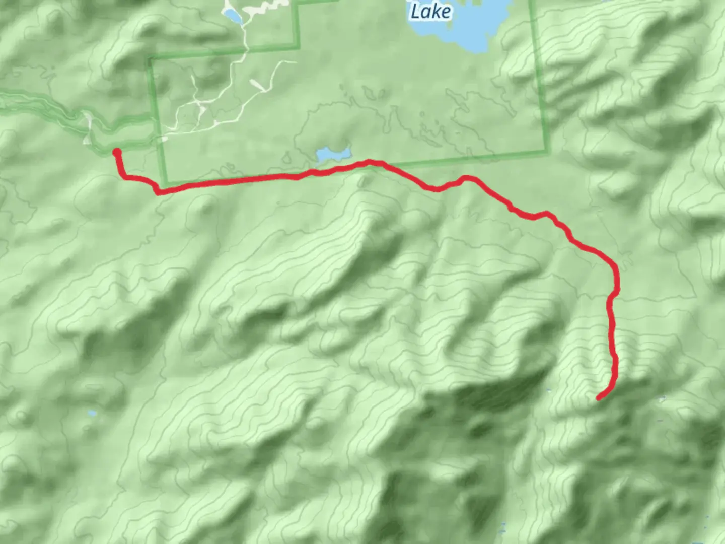
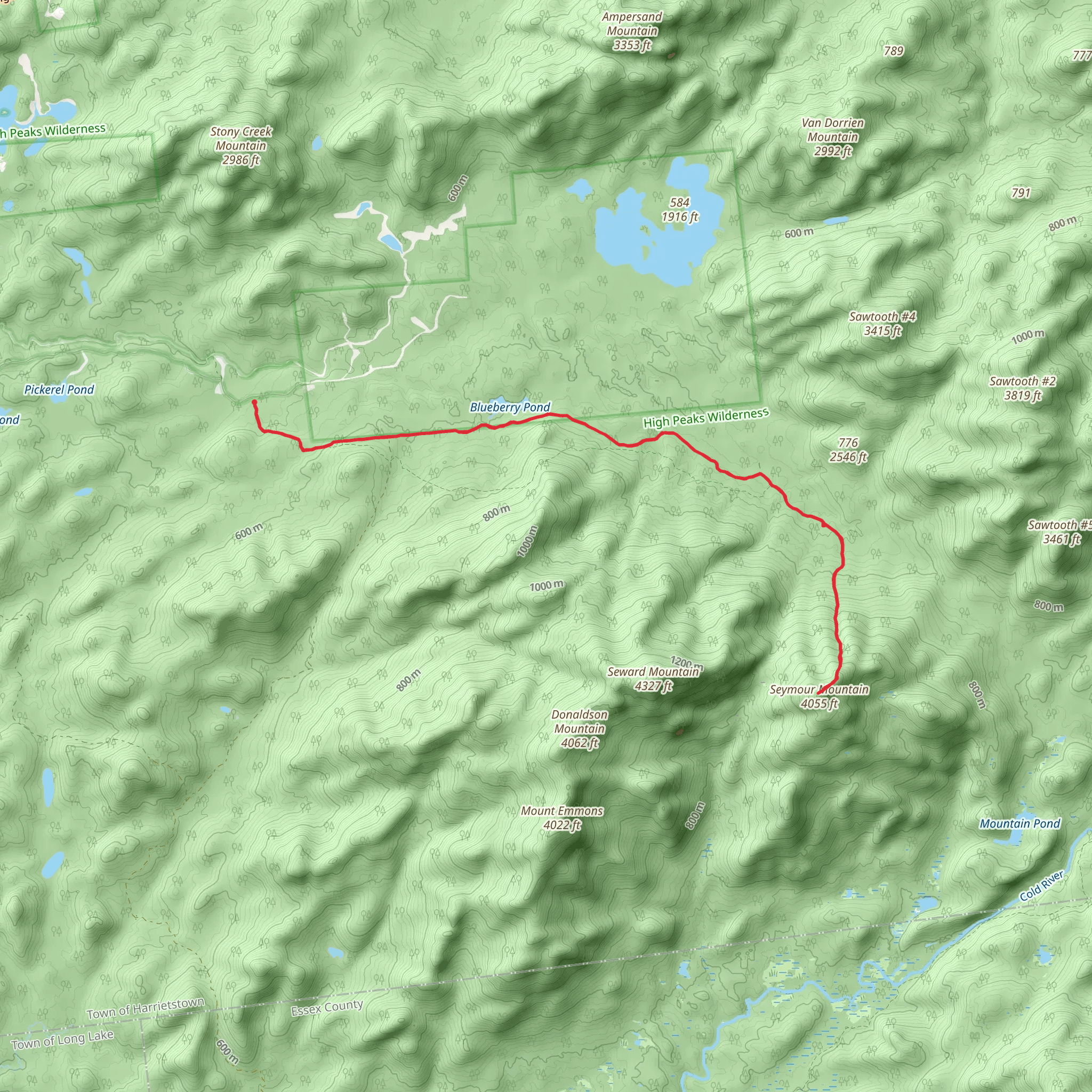
The Seymour Mountain via Blueberry Trail offers an immersive hiking experience through the heart of the Adirondacks, beginning near Franklin County, New York. This out-and-back trail spans approximately 22 kilometers (about 13.7 miles) and features an elevation gain of roughly 800 meters (around 2625 feet), presenting a medium difficulty level that is suitable for hikers with some experience.
Getting to the Trailhead To reach the trailhead, hikers can drive to the parking area located off Corey's Road, which is accessible from NY-3, near the small hamlet of Tupper Lake. For those relying on public transportation, options are limited, but the Adirondack Trailways bus service does stop in Tupper Lake, from where you would need to arrange a taxi or a local shuttle to the trailhead.
The Hike The journey begins with a gentle ascent through a mixed forest, where the sounds of nature envelop you. As you progress, the incline becomes more pronounced, and the forest transitions to include a variety of hardwoods. Approximately 3.5 kilometers (2.2 miles) in, you'll encounter the first landmark, a serene pond that reflects the surrounding foliage, offering a perfect spot for a brief rest and wildlife observation.
Continuing on, the trail becomes steeper and more rugged. At around the 7-kilometer (4.3-mile) mark, hikers reach the Blueberry Lean-to, an ideal place for a longer break or an overnight stay for those who wish to split the hike into two days. The lean-to also serves as a reminder of the historical significance of the region, which has long been a destination for outdoor enthusiasts and was central to the development of the Adirondack Park.
Wildlife and Nature As you ascend, keep an eye out for the diverse wildlife that inhabits the area, including deer, black bears, and a variety of bird species. The higher elevations are home to boreal birds, such as the Bicknell's thrush, which are a rare treat for birdwatchers. The trail also offers an array of wildflowers and plants, particularly in the spring and summer months.
Summit and Descent The final push to the summit of Seymour Mountain is the most challenging, with steep, rocky sections that may require the use of hands for balance and support. Upon reaching the summit at approximately 11 kilometers (6.8 miles), hikers are rewarded with panoramic views of the surrounding peaks and valleys.
The descent follows the same path back to the trailhead, allowing for a different perspective on the natural beauty encountered on the way up. It's important to remain cautious as the descent can be tough on the knees and the terrain may be slippery, especially after rain.
Navigation For navigation purposes, the HiiKER app is a valuable tool to have on hand, providing detailed maps and trail information that can help keep you on the right path.
Preparation Before embarking on this hike, ensure you are well-prepared with adequate water, food, and clothing for changing weather conditions. It's also wise to carry a first aid kit, a map, and a compass or GPS device, even though the trail is well-marked. Remember to leave no trace and respect the natural environment to preserve it for future generations.
Whether you're seeking solitude, a physical challenge, or the chance to connect with nature, the Seymour Mountain via Blueberry Trail offers a memorable experience in the wilderness of the Adirondacks.
What to expect?
Activity types
Comments and Reviews
User comments, reviews and discussions about the Seymour Mountain via Blueberry Trail, New York.
4.63
average rating out of 5
8 rating(s)
