The best hikes in Clarence Valley
New South Wales · 9 HiiKER Hikes
View Hikes on map


What to expect
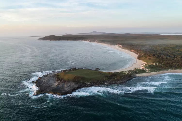
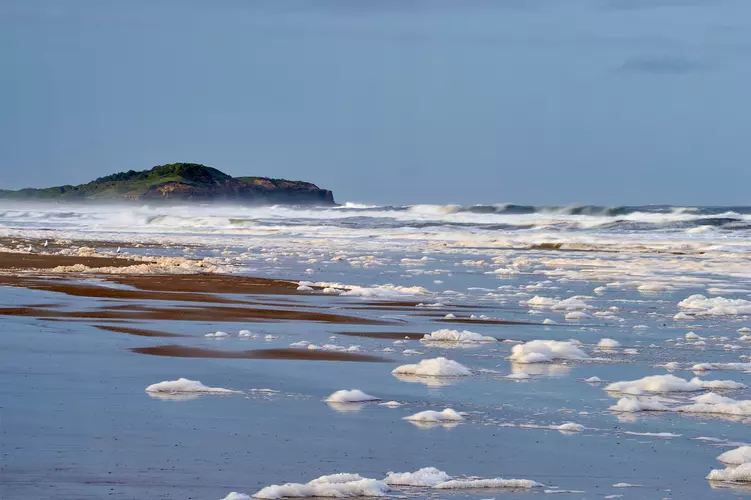
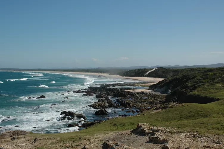
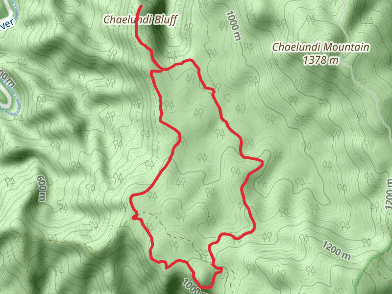
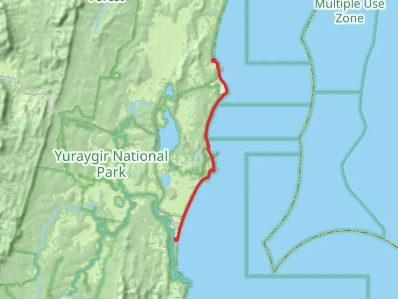
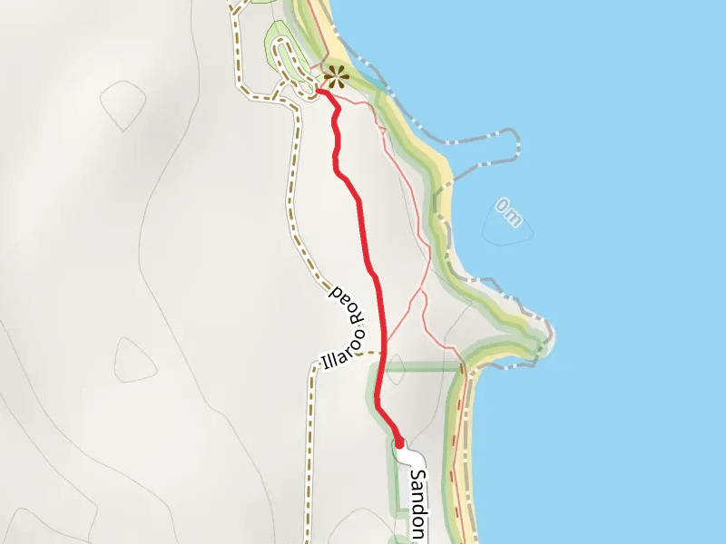
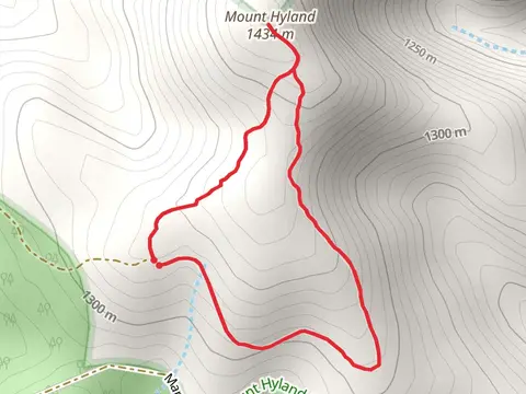
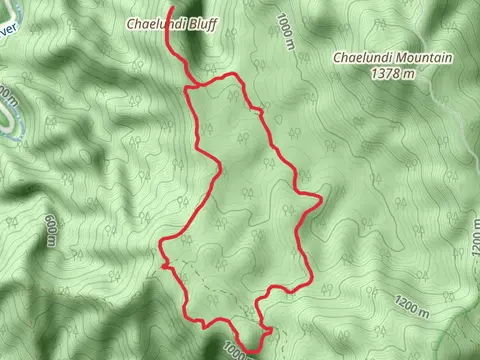
Check out some of the best hiking, walking and backpacking routes in Clarence Valley, New South Wales. The Yuraygir Coastal Walk is the most popular trail. The trails have 5 user reviews with great photos and information. There are trails of various difficulty levels including easy, medium, and difficult. The trail with the highest elevation climb is the Summit Walking Track and the trail with the least amount of climbing is the Brooms Head to Illaroo Track. The longest trail is the Yuraygir Coastal Walk at 65.8 km. For a shorter adventure you can try the Angophora Grove Track at 1.8 km. Get off line access to Peak, Town, Viewpoint, and Campsite locations and much more with a Hiiker subscription.

Be prepared for hiking in New South Wales with the HiiKER app