Download
Preview
Add to list
More
8.1 km
~1 hrs 57 min
195 m
Loop
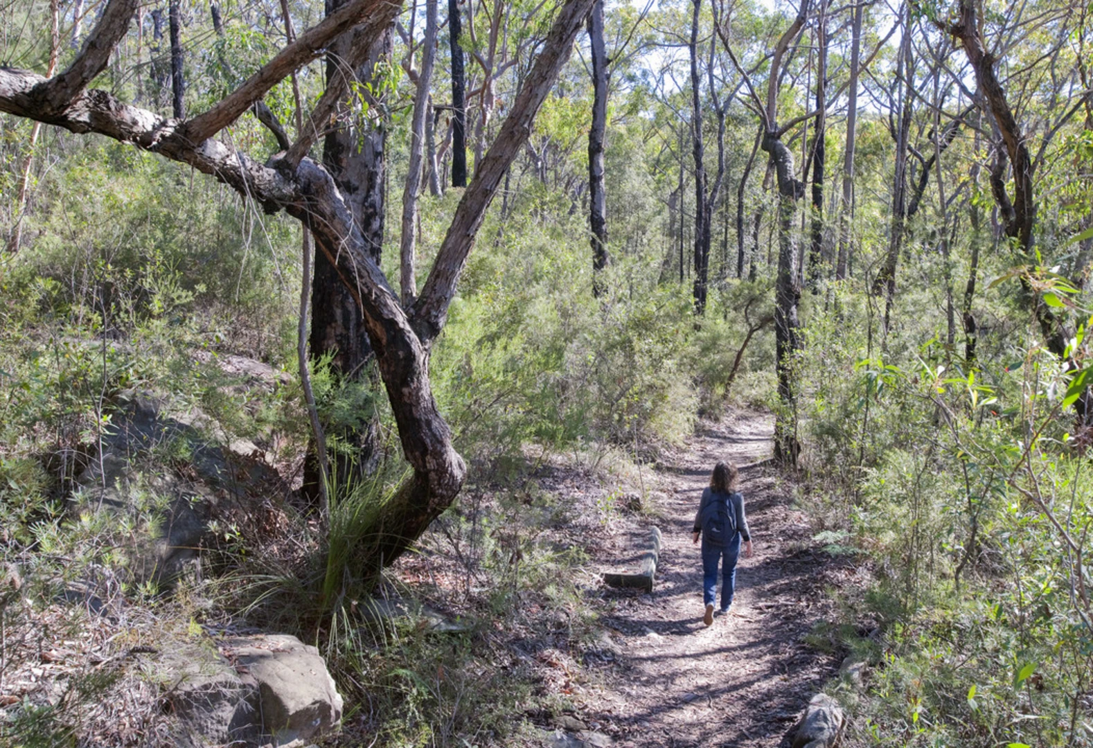
The Red Hands Cave Walking Track - Blue Mountains National Park is a 8.1 km looped trail that starts and ends in Blue Mountains City, Blue Mountains City, New South Wales. Based on our data, the hike is graded as Easy. For information on how we grade trails, please read measuring the difficulty of a hiking trail on hiiker. Also, check our latest community posts for trail updates. This hike can be completed in approx 1 hrs 57 mins. Caution is advised on trail times as this depends on multiple variables. For more info read about how we calculate hike time.

Activity types
Comments and Reviews
User comments, reviews and discussions about the Red Hands Cave Walking Track - Blue Mountains National Park, New South Wales.
average rating out of 5
0 rating(s)