Download
Preview
Add to list
More
17.1 km
~4 hrs 10 min
457 m
Loop
“The Canadian River and Canon Vercere Walk offers a scenic, historical, and wildlife-rich adventure in New Mexico.”
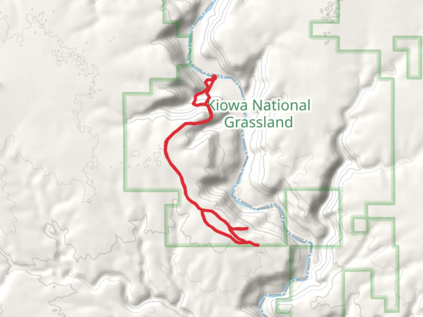
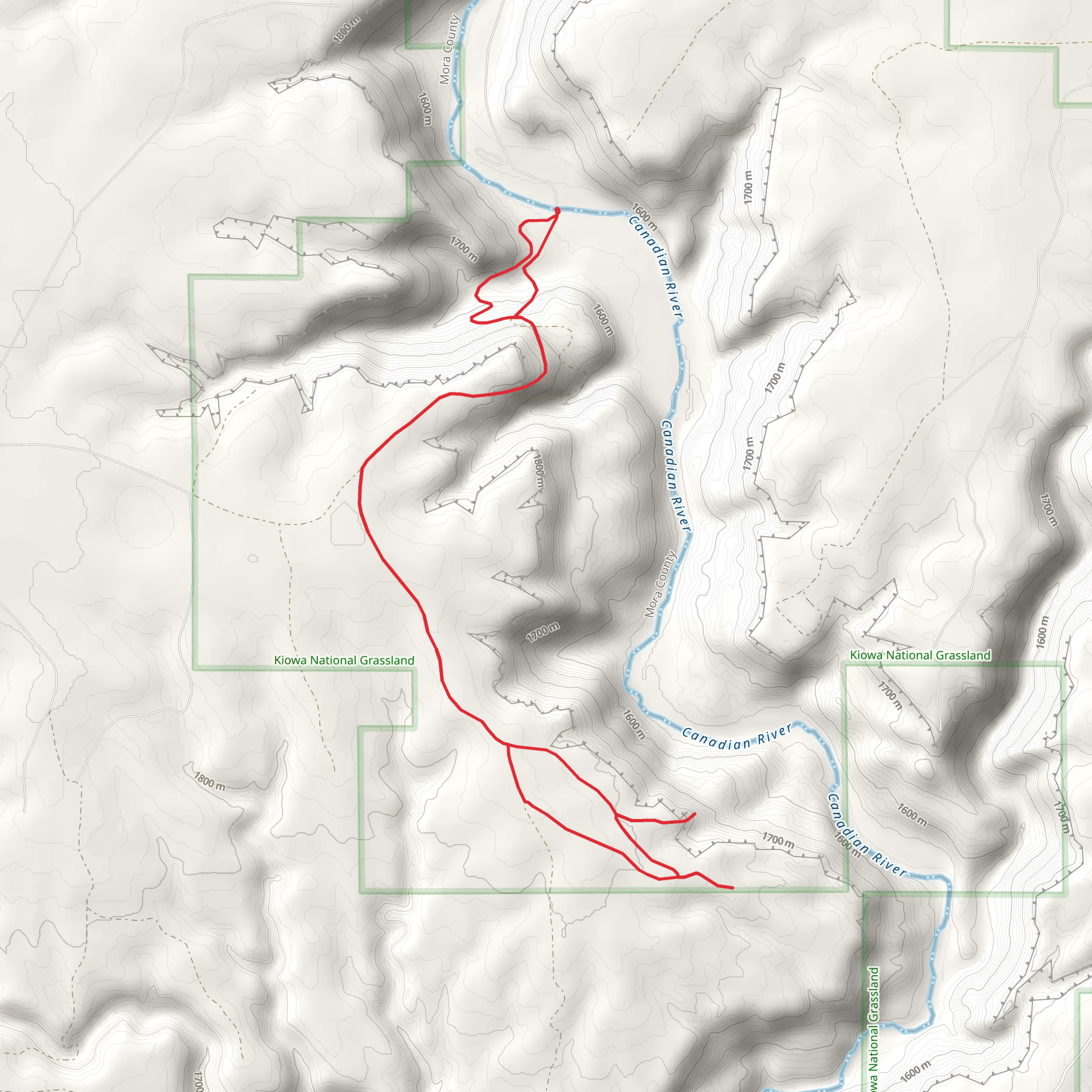
Starting near Mora County, New Mexico, the Canadian River and Canon Vercere Walk is a captivating loop trail that spans approximately 17 kilometers (10.5 miles) with an elevation gain of around 400 meters (1,312 feet). This medium-difficulty trail offers a blend of natural beauty, historical significance, and diverse wildlife, making it a rewarding experience for hikers.
Getting There To reach the trailhead, you can drive or use public transport. If driving, head towards Mora County, New Mexico, and look for signs directing you to the trailhead near the Canadian River. For those using public transport, the nearest significant landmark is the town of Mora. From Mora, you can take a local bus or taxi to the trailhead.
Trail Overview The trail begins with a gentle ascent, allowing you to ease into the hike. As you progress, the path becomes more rugged, with rocky sections that require careful footing. The initial 3 kilometers (1.9 miles) offer a gradual climb, gaining about 100 meters (328 feet) in elevation. This section is adorned with wildflowers in the spring and summer, providing a colorful backdrop.
Significant Landmarks Around the 5-kilometer (3.1-mile) mark, you'll encounter the first significant landmark: the remnants of an old homestead. This site offers a glimpse into the region's history, where early settlers once lived and worked. Take a moment to explore the area and imagine life in this remote part of New Mexico.
Continuing on, the trail leads you to a scenic overlook at approximately 8 kilometers (5 miles). Here, you can take in panoramic views of the Canadian River below, winding its way through the canyon. This is an excellent spot for a rest and some photography.
Wildlife and Nature The trail is home to a variety of wildlife, including mule deer, coyotes, and numerous bird species. Keep an eye out for golden eagles soaring above the canyon and listen for the calls of the canyon wren. The diverse flora includes piñon pines, junipers, and various cacti, which add to the trail's rugged charm.
Navigation and Safety As you navigate the trail, it's essential to use a reliable navigation tool like HiiKER to stay on course. The trail is well-marked, but some sections can be confusing, especially where the path intersects with smaller, less-traveled routes. Ensure you have enough water, as the arid climate can be dehydrating, and there are limited water sources along the trail.
Historical Significance The region around the Canadian River and Canon Vercere has a rich history. It was once a vital area for Native American tribes, who used the river as a source of water and food. Later, it became a route for settlers and traders. The remnants of old structures and artifacts found along the trail serve as a testament to the area's historical importance.
Final Stretch The final 4 kilometers (2.5 miles) of the trail loop back towards the starting point, descending gradually and offering a different perspective of the landscape. This section is less strenuous, allowing you to enjoy the serene environment as you make your way back.
By the end of the hike, you'll have experienced a diverse range of landscapes, historical sites, and wildlife, making the Canadian River and Canon Vercere Walk a memorable adventure.
What to expect?
Activity types
Comments and Reviews
User comments, reviews and discussions about the Canadian River and Canon Vercere Walk, New Mexico.
4.42
average rating out of 5
12 rating(s)
