Download
Preview
Add to list
More
15.2 km
~4 hrs 0 min
581 m
Out and Back
“Embark on the Osha Mountain trail for a 15-kilometer journey through stunning landscapes and historical intrigue.”
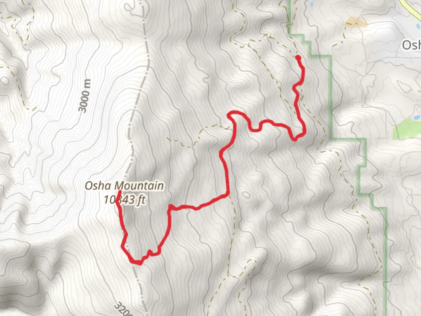
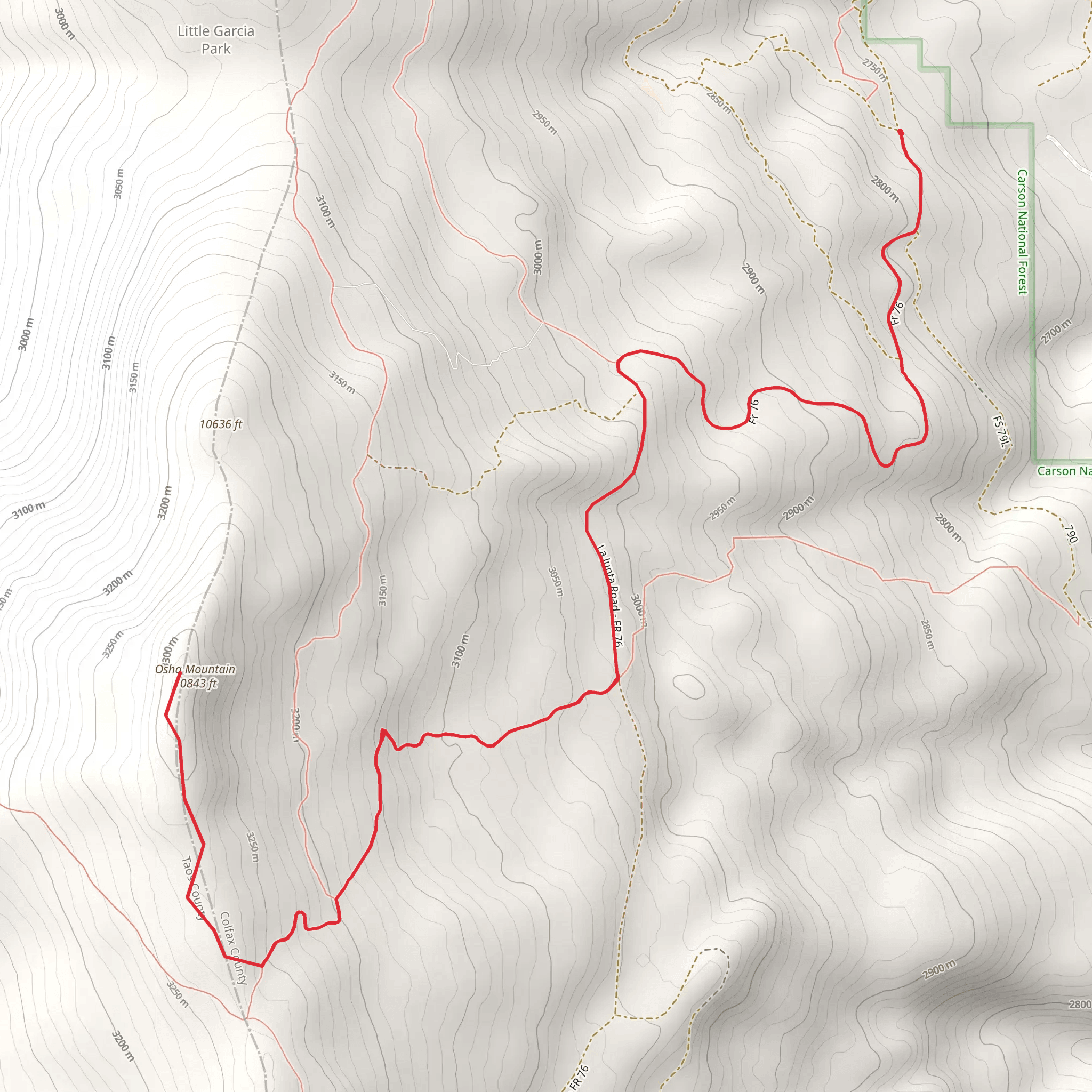
Starting your adventure near Colfax County, New Mexico, the Osha Mountain trail offers a captivating journey through diverse landscapes. This out-and-back trail spans approximately 15 kilometers (around 9.3 miles) with an elevation gain of about 500 meters (1,640 feet), making it a moderately challenging hike suitable for those with some hiking experience.
Getting There To reach the trailhead, you can drive or use public transportation. If driving, head towards the nearest significant landmark, which is the town of Raton, NM. From Raton, take US-64 W and follow the signs towards Colfax County. The trailhead is located near the intersection of US-64 and NM-21. For those using public transport, the nearest bus station is in Raton, and from there, you can arrange a taxi or rideshare to the trailhead.
Trail Overview The trail begins with a gentle ascent through a mixed forest of ponderosa pines and aspens. Early in the hike, you'll cross a small creek, which can be a refreshing spot to take a short break. As you continue, the trail gradually becomes steeper, offering glimpses of the surrounding mountains and valleys.
Significant Landmarks and Nature At approximately 3 kilometers (1.9 miles) in, you'll encounter a scenic overlook that provides panoramic views of the Sangre de Cristo Mountains. This is an excellent spot for photography and a brief rest. Continuing onward, the trail winds through a series of switchbacks, gaining elevation steadily.
Around the 7-kilometer (4.3-mile) mark, you'll reach a high meadow known for its vibrant wildflowers in the spring and summer months. This area is also a prime spot for wildlife sightings, including mule deer, elk, and various bird species. Keep an eye out for the elusive black bear, which is known to inhabit the region.
Historical Significance The Osha Mountain area holds historical significance as it was once traversed by Native American tribes and later by settlers during the westward expansion. Artifacts and remnants of old homesteads can occasionally be found off the main trail, though it's important to leave these undisturbed.
Final Ascent The final push to the summit involves a steeper climb, but the effort is rewarded with breathtaking 360-degree views from the top of Osha Mountain. On a clear day, you can see as far as the Great Plains to the east and the Rocky Mountains to the west. This is a perfect spot to enjoy a packed lunch and take in the serene beauty of the landscape.
Navigation and Safety Given the moderate difficulty of the trail, it's advisable to use a reliable navigation tool like HiiKER to stay on track. The trail is well-marked, but weather conditions can change rapidly, so be prepared with appropriate gear, including layers, a hat, sunscreen, and plenty of water.
Return Journey The return journey follows the same path, allowing you to revisit the scenic spots and perhaps notice details you missed on the way up. The descent is generally easier, but take care on the steeper sections to avoid slipping.
By the time you complete the Osha Mountain trail, you'll have experienced a rich tapestry of natural beauty, historical intrigue, and the rewarding challenge of a moderately difficult hike.
What to expect?
Activity types
Comments and Reviews
User comments, reviews and discussions about the Osha Mountain, New Mexico.
4.68
average rating out of 5
19 rating(s)
