Download
Preview
Add to list
More
10.5 km
~2 hrs 50 min
449 m
Out and Back
“The Rockcores Trail in Warren County, NJ, offers a scenic, moderately challenging 10 km hike with historical landmarks.”
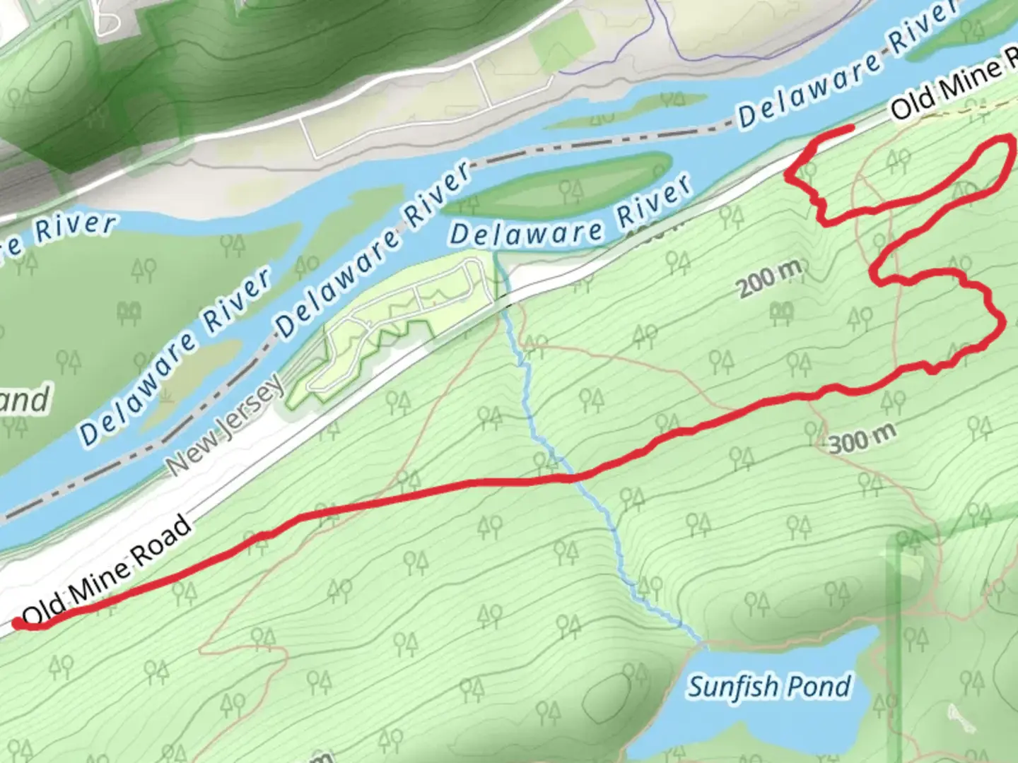
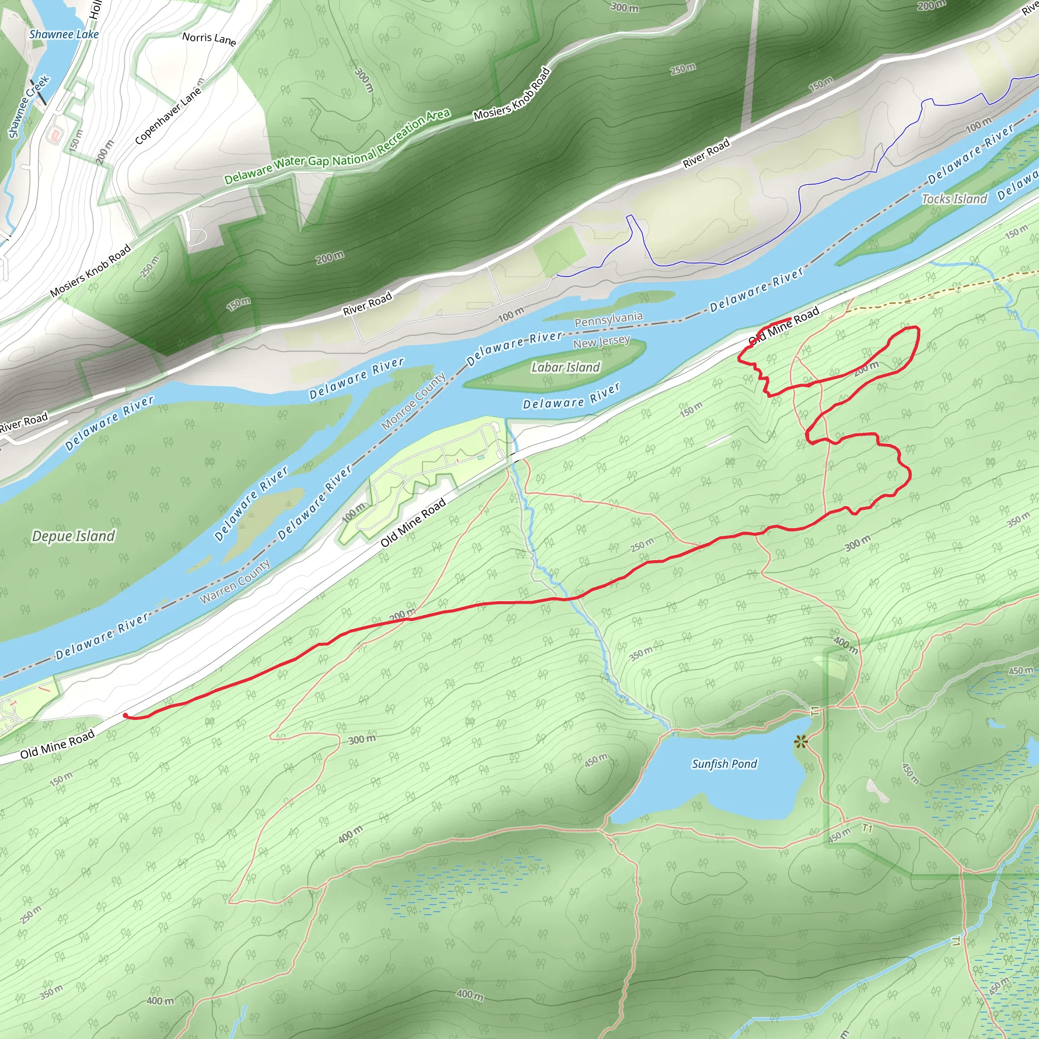
Starting near Warren County, New Jersey, the Rockcores Trail offers a moderately challenging hike with a total distance of around 10 km (approximately 6.2 miles) and an elevation gain of about 400 meters (1,312 feet). This out-and-back trail is perfect for those looking to immerse themselves in nature while enjoying a good workout.
Getting There
To reach the trailhead, you can drive or use public transport. If driving, head towards Warren County, New Jersey, and look for parking near the trailhead, which is conveniently located close to the Delaware Water Gap National Recreation Area. For those using public transport, the nearest significant landmark is the Blairstown Station. From there, you can take a local taxi or rideshare service to the trailhead.
Trail Overview
The Rockcores Trail begins with a gentle ascent through a mixed hardwood forest, where you'll encounter a variety of tree species such as oak, maple, and hickory. The first kilometer (0.6 miles) is relatively easy, making it a good warm-up for the more strenuous sections ahead.
Significant Landmarks and Nature
As you progress, the trail becomes steeper, and you'll gain most of the elevation in the next 2 kilometers (1.2 miles). Around the 3-kilometer (1.9-mile) mark, you'll come across a scenic overlook that offers breathtaking views of the Delaware River and the surrounding valley. This is a great spot to take a break and snap some photos.
Continuing on, the trail levels out somewhat, leading you through a series of rocky outcrops and boulder fields. These areas are home to various species of lichen and moss, adding a unique texture to the landscape. Keep an eye out for local wildlife, including white-tailed deer, red foxes, and a variety of bird species such as hawks and woodpeckers.
Historical Significance
The region around the Rockcores Trail has a rich history. During the Revolutionary War, this area was a strategic location for both American and British forces. You might notice some old stone walls and remnants of early settlements along the trail, offering a glimpse into the past.
Navigation and Safety
Given the moderate difficulty of the trail, it's advisable to use a reliable navigation tool like HiiKER to ensure you stay on course. The trail is well-marked, but having a digital map can be very helpful, especially in the more rugged sections.
Final Stretch
The final 2 kilometers (1.2 miles) of the trail are a gradual descent back to the trailhead. This section is less strenuous, allowing you to cool down and enjoy the serene forest surroundings. As you near the end, you'll pass by a small creek, which is a lovely spot to rest and reflect on your hike.
Preparation Tips
Make sure to wear sturdy hiking boots, as the rocky sections can be challenging. Bring plenty of water, especially during the warmer months, and consider packing a light snack or lunch to enjoy at one of the scenic spots along the way. Always check the weather forecast before heading out and dress in layers to accommodate changing conditions.
The Rockcores Trail offers a rewarding hike with a mix of natural beauty, historical intrigue, and physical challenge, making it a must-visit for any hiking enthusiast.
What to expect?
Activity types
Comments and Reviews
User comments, reviews and discussions about the Rockcores Trail, New Jersey.
4.21
average rating out of 5
14 rating(s)
