Download
Preview
Add to list
More
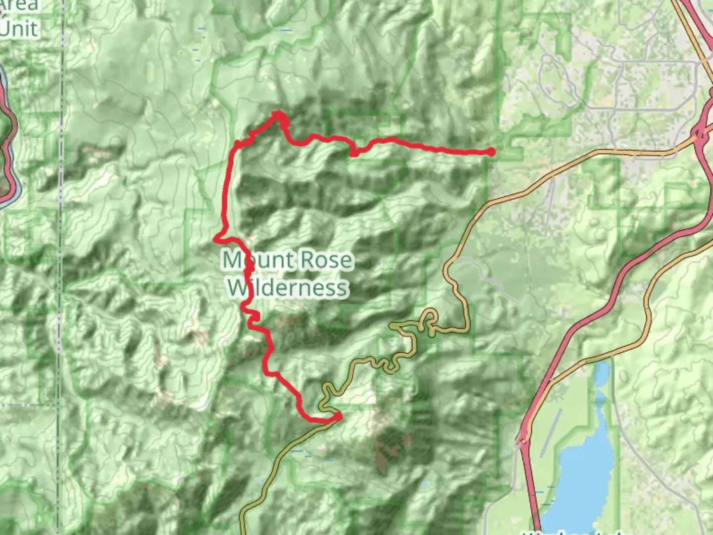
32.5 km
~1 day 2 hrs
522 m
Point-to-Point
The Tahoe Rim and Upper Thomas Creek Trail from Mount Rose Summit is a 32.5 km trail that starts in Incline Village, Washoe County, Nevada. Based on our data, the hike is graded as Easy. For information on how we grade trails, please read measuring the difficulty of a hiking trail on hiiker. Also, check our latest community posts for trail updates. This hike can be completed in approx 7 hrs 22 mins. Caution is advised on trail times as this depends on multiple variables. For more info read about how we calculate hike time.

What to expect?
Activity types
Comments and Reviews
User comments, reviews and discussions about the Tahoe Rim and Upper Thomas Creek Trail from Mount Rose Summit, Nevada.
4.6
average rating out of 5
47 rating(s)