Download
Preview
Add to list
More
24.7 km
~2 days
1717 m
Multi-Day
“Embark on the rugged Mt Jefferson Trail for a steep, historic hike through Nevada's wild heart.”
Embarking on the Mt Jefferson Trail, hikers will tackle a challenging journey that spans approximately 25 kilometers (about 15.5 miles) with an elevation gain of around 1700 meters (approximately 5577 feet). This point-to-point trail is nestled near Nye County, Nevada, and is considered difficult due to its steep inclines and rugged terrain.
Getting to the Trailhead
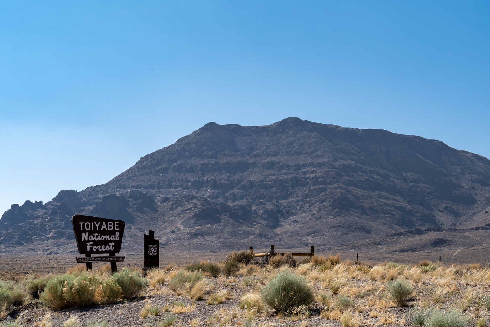
To reach the trailhead, which is situated in a remote area of Nevada, hikers can drive to the vicinity of the small town of Carvers, NV. From there, a series of local roads will lead adventurers to the starting point of the trail. Public transport options are limited in this region, so a personal vehicle or a rented car is the most feasible mode of transportation. It's essential to have a detailed map or a reliable GPS service like HiiKER to navigate to the trailhead, as cell service can be spotty.
The Hike Itself
As you set out on the trail, the initial section will take you through a landscape dotted with sagebrush and piñon pine. The ascent begins gently but becomes increasingly steep as you progress. The trail is well-defined in the lower sections but can become less distinct as you gain elevation, so careful navigation is crucial.
After the first 5 kilometers (about 3.1 miles), you'll encounter a series of switchbacks that will test your endurance. The trail here is rocky, and the incline is relentless, offering a glimpse of the challenges ahead. As you climb higher, the vegetation changes, with bristlecone pines becoming more prominent, some of which are centuries old.
Landmarks and Scenery
One of the most significant landmarks you'll pass is the historical Wheeler Peak, located roughly halfway through the hike. This area is not only a visual marvel but also holds historical significance as it is named after George Wheeler, who led an extensive survey of the region in the late 19th century.
Continuing on, the trail will lead you to a ridge that offers panoramic views of the surrounding landscape. The vastness of the Great Basin is on full display here, with its rolling hills and distant mountain ranges. Keep an eye out for local wildlife, including mule deer, mountain lions, and various bird species that call this area home.
Preparing for the Hike
Given the trail's difficulty and remote location, it is imperative to be well-prepared. Hikers should carry plenty of water, as sources along the trail are scarce, especially during the drier months. Additionally, due to the high elevation, weather conditions can change rapidly, so layered clothing is recommended to adapt to varying temperatures. A detailed trail map or the HiiKER app should be on hand for navigation, and it's wise to inform someone of your hiking plans due to the trail's remoteness.
Final Ascent and Descent
The last stretch to the summit of Mt Jefferson is the most strenuous, with a steep climb that requires good physical condition and determination. Once at the peak, the sense of accomplishment is matched by the breathtaking views of the Toquima Range.
The descent will follow the same path back to the trailhead. It's essential to proceed with caution, as the loose rocks and steep gradient can be challenging, especially on tired legs. The descent offers a different perspective on the landscape, allowing for reflection on the natural beauty and historical significance of the region you've traversed.

What to expect?
Activity types
Comments and Reviews
User comments, reviews and discussions about the Mt Jefferson Trail, Nevada.
4.5
average rating out of 5
16 rating(s)