Download
Preview
Add to list
More
2.6 km
~40 min
93 m
Loop
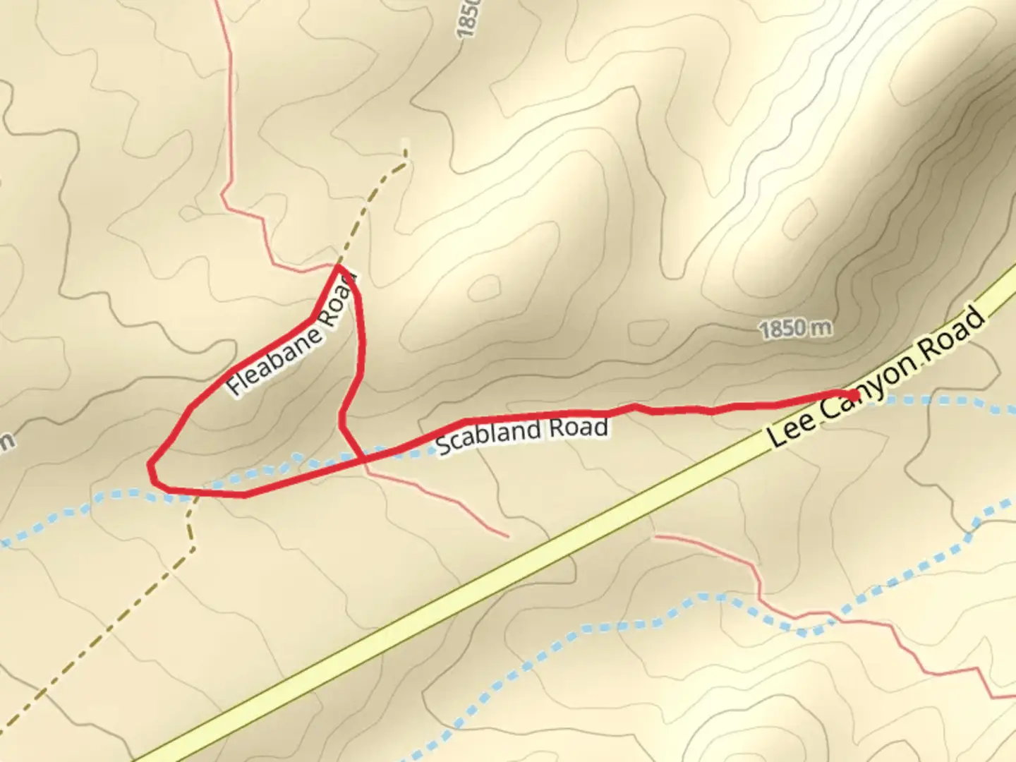
“The Scabland Road and Fleabane Road Loop is a scenic, historically rich, and moderately challenging 3 km trail.”
Starting near Clark County, Nevada, the Scabland Road and Fleabane Road Loop is a 3 km (approximately 1.86 miles) trail with no significant elevation gain, making it a relatively flat hike. This loop trail is rated as medium difficulty, suitable for hikers with some experience.### Getting There To reach the trailhead, you can drive or use public transportation. If driving, head towards Clark County, Nevada, and look for the nearest known landmark, which is the Clark County Wetlands Park. From there, follow local signage to the trailhead. Public transport options include taking a bus to the Wetlands Park and then walking a short distance to the trailhead.### Trail Overview The trail begins with a gentle path that meanders through a landscape characterized by its unique geological formations. The "Scabland" in the trail's name refers to the rugged, rocky terrain that is a result of ancient volcanic activity. As you start your hike, you'll notice the ground is covered with basalt and other volcanic rocks, providing a stark contrast to the surrounding desert landscape.### Flora and Fauna As you continue along the trail, you'll encounter a variety of desert flora. Look out for the fleabane, a type of daisy that thrives in this arid environment and gives part of the trail its name. Other common plants include sagebrush and creosote bush. Wildlife is abundant, with lizards, jackrabbits, and occasionally, desert tortoises making appearances. Bird watchers will be delighted by the presence of species such as the Gambel's quail and the red-tailed hawk.### Significant Landmarks About 1 km (0.62 miles) into the hike, you'll come across an old, abandoned homestead. This structure dates back to the early 1900s and serves as a reminder of the area's history of settlement and agriculture. Take a moment to explore the remnants of this homestead, but be cautious as the structure may be unstable.### Navigation Navigating the trail is straightforward, but it's always a good idea to have a reliable navigation tool. The HiiKER app is highly recommended for this purpose, as it provides detailed maps and real-time GPS tracking to ensure you stay on course.### Historical Significance The region around Clark County has a rich history, with evidence of Native American habitation dating back thousands of years. Petroglyphs and other artifacts have been found in the area, indicating its long-standing significance to indigenous peoples. The trail itself passes through land that was once part of a larger network of trade routes used by Native American tribes.### Final Stretch As you near the end of the loop, the trail takes you through a more open area with expansive views of the surrounding desert and distant mountains. This section is particularly beautiful during sunset, when the sky is painted with hues of orange and pink, casting a magical glow over the landscape.The Scabland Road and Fleabane Road Loop offers a unique hiking experience with its blend of geological wonders, diverse flora and fauna, and historical landmarks. Whether you're a seasoned hiker or someone looking to explore the natural beauty of Nevada, this trail provides a rewarding adventure.
What to expect?
Activity types
Comments and Reviews
User comments, reviews and discussions about the Scabland Road and Fleabane Road Loop, Nevada.
4.48
average rating out of 5
25 rating(s)
