Download
Preview
Add to list
More
7.3 km
~2 hrs 14 min
459 m
Loop
“Explore the McCullough Hills Trail, a 7 km scenic loop with rich history and abundant wildlife.”
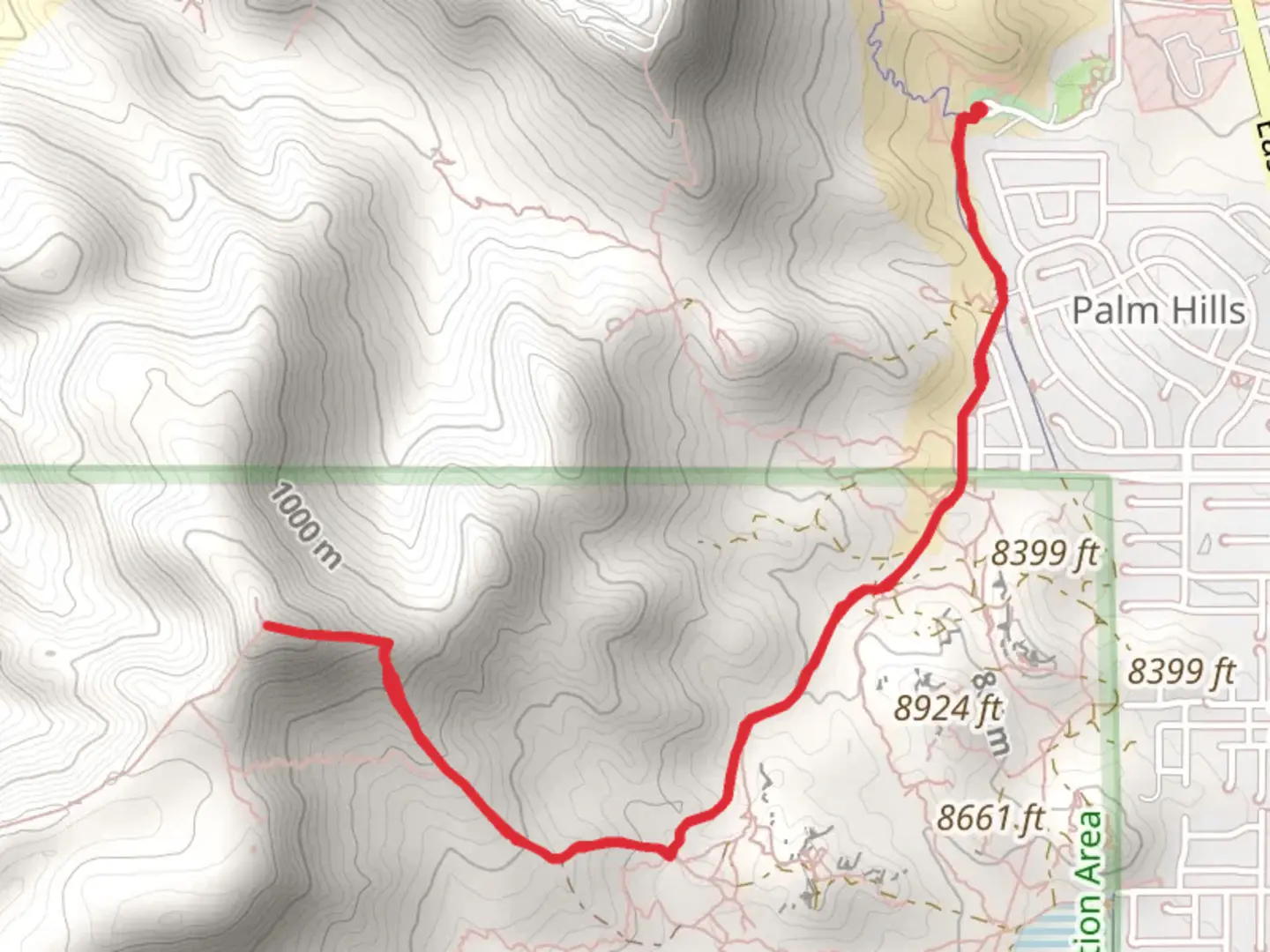
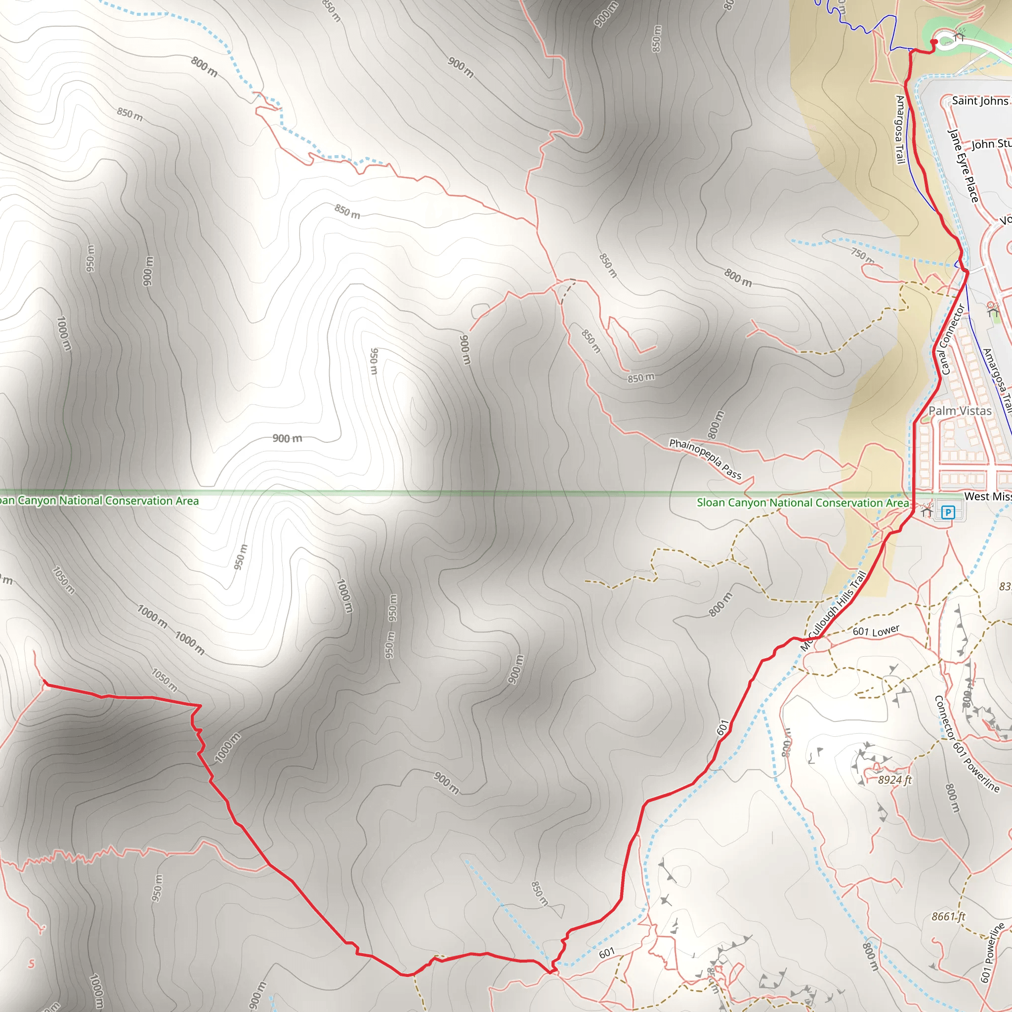
Starting near Clark County, Nevada, the McCullough Hills Trail and Canal Connector offers a rewarding loop hike of approximately 7 km (4.3 miles) with an elevation gain of around 400 meters (1,312 feet). This trail is rated as medium difficulty, making it suitable for moderately experienced hikers.
Getting There To reach the trailhead, you can drive or use public transportation. If driving, head towards the Sloan Canyon National Conservation Area, which is the nearest significant landmark. The trailhead is accessible from the Anthem East Trailhead parking area. For those using public transport, the nearest bus stop is at the intersection of Bicentennial Parkway and Anthem Parkway, from where you can walk to the trailhead.
Trail Navigation For navigation, it's highly recommended to use the HiiKER app, which provides detailed maps and real-time updates. The trail is well-marked, but having a reliable navigation tool will enhance your hiking experience.
Trail Description The trail begins with a gentle ascent, offering panoramic views of the Las Vegas Valley. As you progress, you'll encounter a series of switchbacks that gradually increase in steepness. The first significant landmark is a large rock outcrop approximately 1.5 km (0.9 miles) into the hike, which provides an excellent spot for a short break and some photography.
Flora and Fauna The McCullough Hills Trail is rich in desert flora, including Joshua trees, creosote bushes, and various species of cacti. Wildlife is abundant; keep an eye out for desert tortoises, jackrabbits, and occasionally, bighorn sheep. Birdwatchers will also enjoy spotting species like the red-tailed hawk and the greater roadrunner.
Historical Significance This region holds historical significance due to its proximity to the Old Spanish Trail, a trade route used during the 19th century. Artifacts and remnants from this period can occasionally be found along the trail, adding an element of historical intrigue to your hike.
Midpoint and Canal Connector Around the 3.5 km (2.2 miles) mark, you'll reach the highest point of the trail, offering stunning views of the surrounding McCullough Range. From here, the trail descends towards the Canal Connector, a man-made waterway that historically served as an irrigation channel. This section of the trail is relatively flat and provides a nice contrast to the earlier, more strenuous ascent.
Final Stretch The final stretch of the loop takes you through a series of rolling hills before returning to the trailhead. This part of the trail is less steep but still offers beautiful vistas and opportunities to spot wildlife.
Tips for Hikers - **Water:** Ensure you carry enough water, as the desert environment can be extremely dehydrating. - **Footwear:** Sturdy hiking boots are recommended due to the rocky terrain. - **Weather:** Check the weather forecast before heading out, as conditions can change rapidly. - **Timing:** Early morning or late afternoon hikes are ideal to avoid the midday heat.
By following these guidelines and using the HiiKER app for navigation, you'll be well-prepared to enjoy the McCullough Hills Trail and Canal Connector.
What to expect?
Activity types
Comments and Reviews
User comments, reviews and discussions about the McCullcough Hills Trail and Canal Connector, Nevada.
4.41
average rating out of 5
49 rating(s)
