Download
Preview
Add to list
More
4.0 km
~52 min
43 m
Loop
“The Las Vegas Springs Preserve Loop is a 4 km accessible trail rich in history and diverse desert landscapes.”
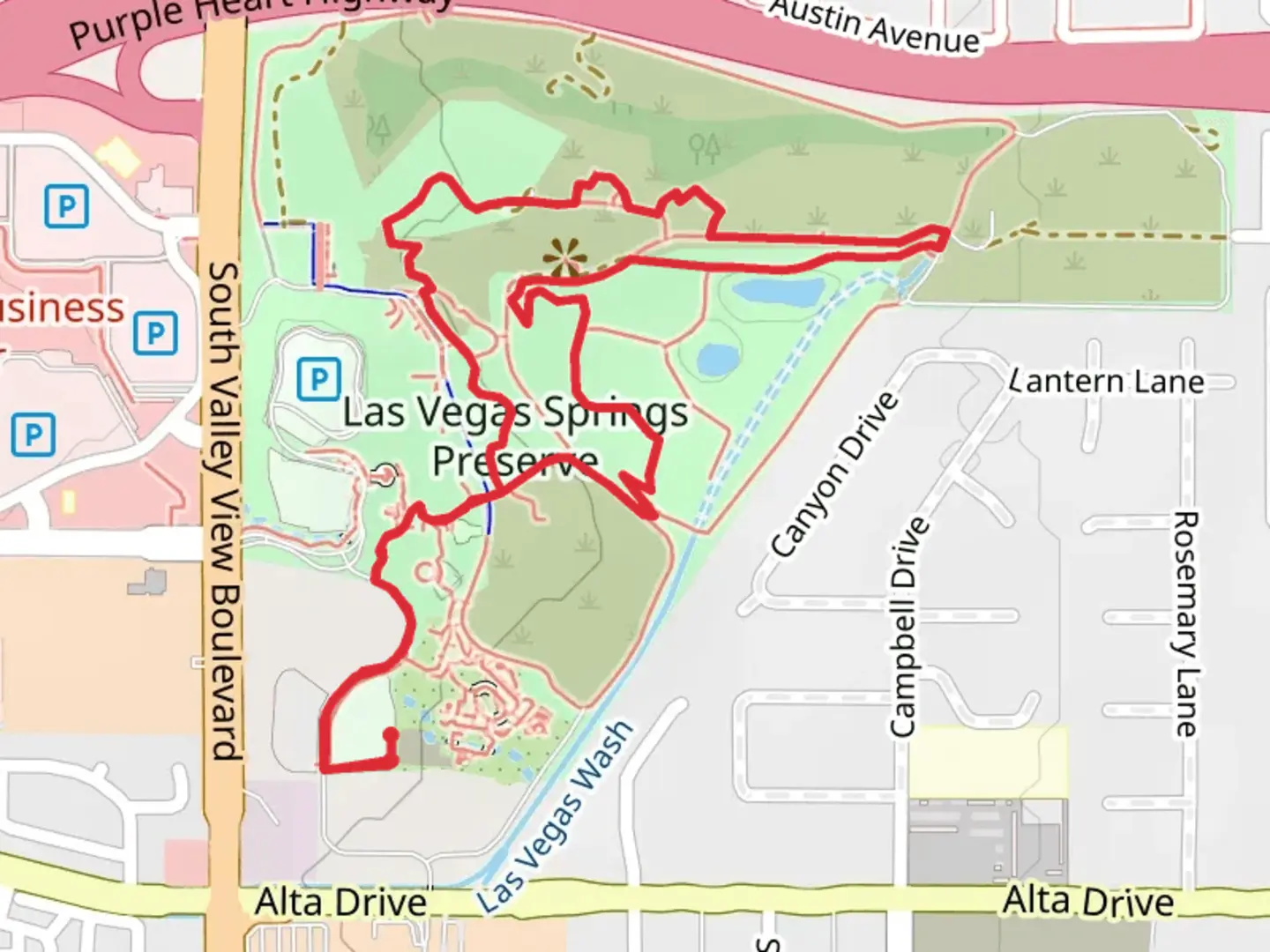
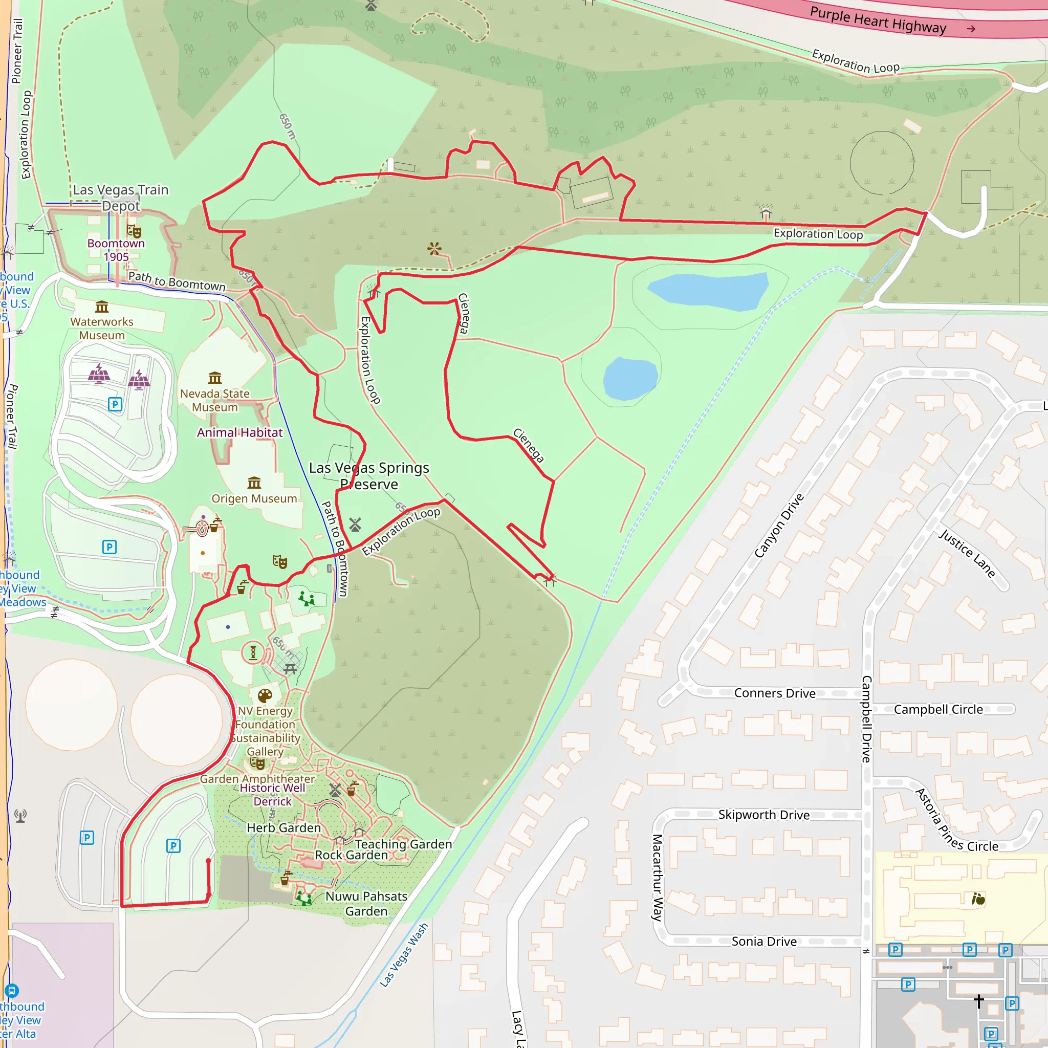
Starting near Clark County, Nevada, the Las Vegas Springs Preserve Loop is a fascinating 4 km (approximately 2.5 miles) trail with no significant elevation gain, making it accessible for a wide range of hikers. The trailhead is conveniently located near the Las Vegas Springs Preserve, a notable landmark in the area.### Getting ThereFor those traveling by car, the trailhead is easily accessible from downtown Las Vegas. Head west on US-95 and take the Valley View Boulevard exit. Follow Valley View Boulevard south until you reach the Springs Preserve entrance. Ample parking is available at the preserve.If you prefer public transport, the RTC bus service offers routes that stop near the Springs Preserve. The closest bus stop is at Valley View Blvd & Meadows Ln, which is a short walk from the trailhead.### Trail OverviewThe Las Vegas Springs Preserve Loop is a medium-difficulty trail, primarily due to its length rather than any challenging terrain. The path is well-marked and maintained, making navigation straightforward. For those who prefer digital navigation tools, HiiKER provides an excellent resource for tracking your progress and ensuring you stay on course.### Points of Interest#### Historical SignificanceThe Springs Preserve is a site of great historical importance. It was once the primary water source for Native American tribes and later for early settlers in the Las Vegas Valley. As you hike, you'll encounter interpretive signs that provide insights into the area's rich history, including its role in the development of Las Vegas.#### Nature and WildlifeThe trail meanders through a variety of desert landscapes, offering a unique opportunity to observe local flora and fauna. Keep an eye out for native plants like the Joshua tree and creosote bush. Wildlife sightings may include desert cottontails, lizards, and a variety of bird species such as the Gambel's quail and the greater roadrunner.### Trail Highlights#### Botanical GardensApproximately 1 km (0.6 miles) into the hike, you'll come across the Springs Preserve's Botanical Gardens. This area showcases a diverse collection of desert plants, both native and non-native. It's a great spot to take a break and enjoy the meticulously curated gardens.#### Desert Living CenterAt around the 2 km (1.2 miles) mark, you'll reach the Desert Living Center. This educational facility offers exhibits on sustainable living and water conservation, reflecting the preserve's commitment to environmental stewardship. It's worth spending some time here to learn more about the challenges and solutions related to desert living.#### Wetlands HabitatAs you approach the 3 km (1.8 miles) point, the trail takes you through a recreated wetlands habitat. This area is particularly interesting as it demonstrates how water management practices have evolved over time. The wetlands attract a variety of bird species, making it a popular spot for birdwatching.### Final StretchThe last kilometer of the loop brings you back towards the starting point, passing through more desert landscapes and offering panoramic views of the surrounding area. The trail is relatively flat, making it a pleasant and leisurely end to your hike.### Preparation TipsGiven the desert environment, it's crucial to bring plenty of water, especially during the hotter months. Sunscreen, a hat, and sunglasses are also recommended to protect against the intense sun. Comfortable hiking shoes are a must, as the terrain can be uneven in places.The Las Vegas Springs Preserve Loop offers a unique blend of natural beauty, historical significance, and educational opportunities, making it a rewarding hike for both locals and visitors alike.
What to expect?
Activity types
Comments and Reviews
User comments, reviews and discussions about the Las Vegas Springs Preserve Loop, Nevada.
4.73
average rating out of 5
52 rating(s)
