Download
Preview
Add to list
More
10.4 km
~2 hrs 40 min
360 m
Loop
“Embark on the scenic Deer Creek Catch Pan trail for diverse landscapes, wildlife, and rich history.”
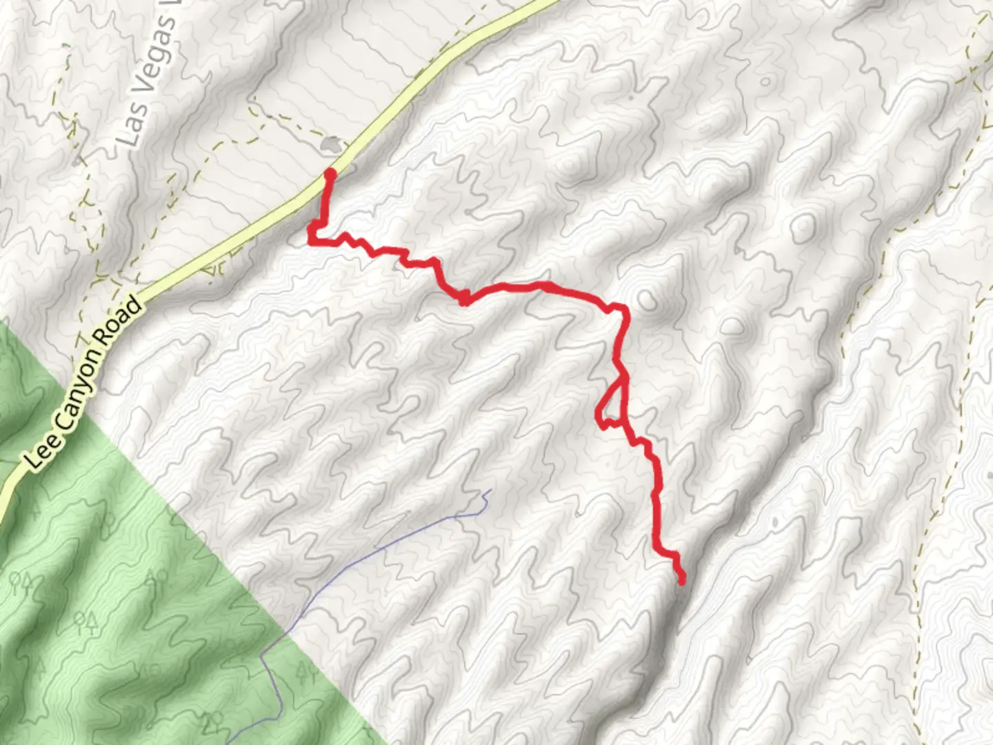
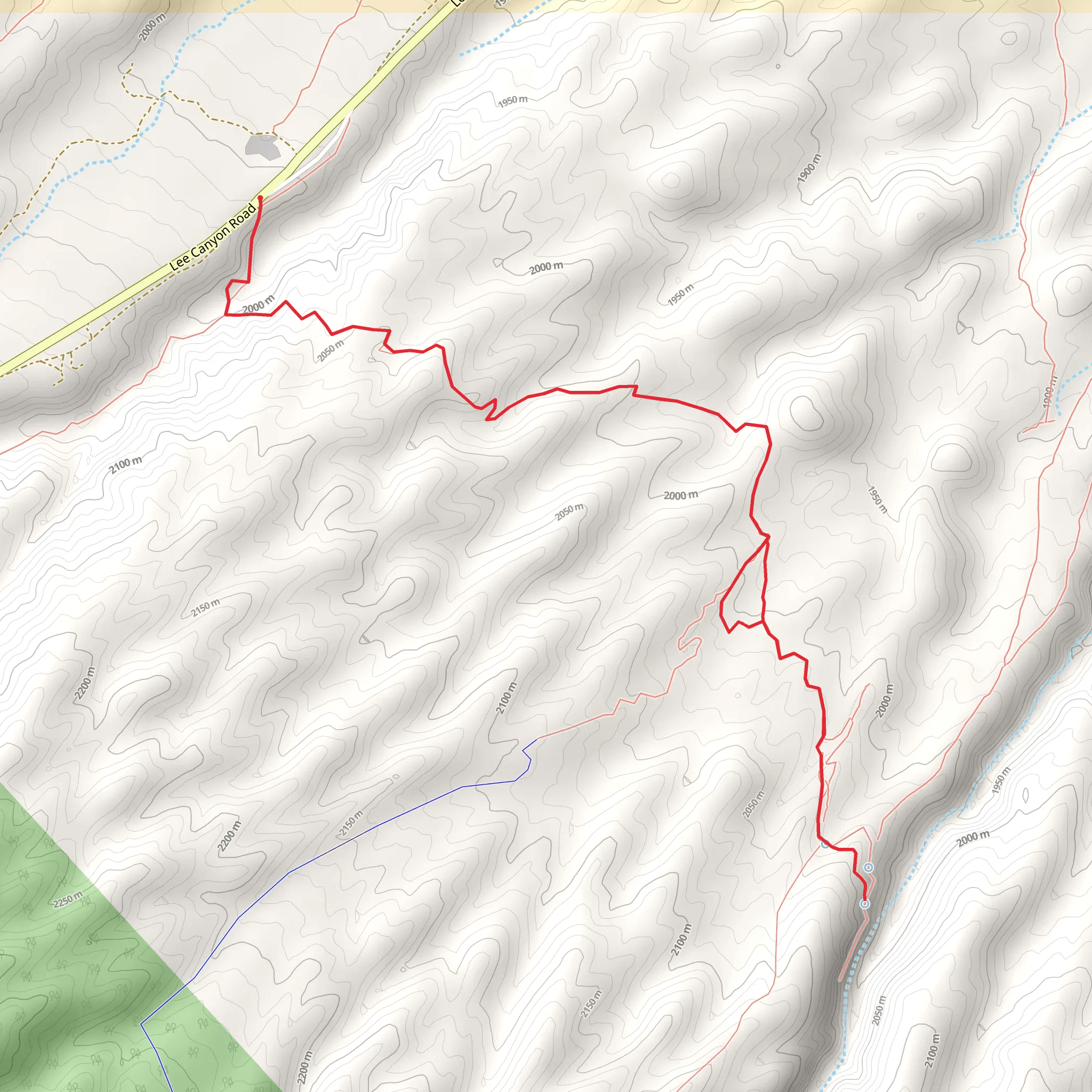
Starting your adventure near Clark County, Nevada, the Deer Creek Catch Pan trail offers a captivating loop of approximately 10 km (6.2 miles) with an elevation gain of around 300 meters (984 feet). This medium-difficulty trail is perfect for those looking to experience the diverse landscapes and rich history of the region.
Getting There To reach the trailhead, you can drive or use public transport. If driving, head towards the Spring Mountains National Recreation Area, specifically near the Deer Creek Road. The nearest significant landmark is the Deer Creek Picnic Area, which provides ample parking. For those using public transport, the closest bus stop is in Kyle Canyon, from where you can take a short taxi ride to the trailhead.
Trail Overview The loop begins at the Deer Creek Picnic Area, where you can find restrooms and picnic tables to prepare for your hike. The trail starts with a gentle ascent through a forested area, offering shade and a cool environment, especially during the hotter months.
Key Landmarks and Points of Interest - **Deer Creek**: About 2 km (1.2 miles) into the hike, you'll encounter Deer Creek. This is a great spot to take a break and enjoy the sound of flowing water. The creek is home to various species of fish and is a popular spot for birdwatching. - **Catch Pan**: At approximately 4 km (2.5 miles), you'll reach the Catch Pan, a natural depression that collects rainwater. This area is rich in flora and fauna, making it a perfect spot for nature enthusiasts. Look out for mule deer and the occasional mountain lion tracks. - **Historical Significance**: The region has a rich history, with evidence of Native American habitation. Keep an eye out for petroglyphs on some of the larger rocks near the 6 km (3.7 miles) mark. These ancient carvings offer a glimpse into the lives of the indigenous people who once roamed these lands.
Elevation and Terrain The trail features a mix of terrains, from forested paths to rocky outcrops. The elevation gain is gradual, making it accessible for most hikers. The highest point of the trail is around 7 km (4.3 miles) in, offering panoramic views of the surrounding mountains and valleys.
Wildlife and Flora The Deer Creek Catch Pan trail is a haven for wildlife. You might spot various species of birds, including hawks and eagles. The flora is equally diverse, with pine trees, junipers, and a variety of wildflowers, especially vibrant in the spring.
Navigation and Safety For navigation, it's highly recommended to use the HiiKER app, which provides detailed maps and real-time updates. The trail is well-marked, but having a reliable navigation tool ensures you stay on track. Always carry enough water, especially during the summer months, and be prepared for sudden weather changes.
Final Stretch As you loop back towards the Deer Creek Picnic Area, the trail descends gently, offering a relaxing end to your hike. The final 2 km (1.2 miles) are relatively easy, allowing you to cool down and reflect on the natural beauty and historical richness of the trail.
This hike offers a perfect blend of natural beauty, wildlife, and historical intrigue, making it a must-visit for any hiking enthusiast.
What to expect?
Activity types
Comments and Reviews
User comments, reviews and discussions about the Deer Creek Catch Pan, Nevada.
4.54
average rating out of 5
35 rating(s)
