Download
Preview
Add to list
More
10.7 km
~2 hrs 45 min
367 m
Loop
“Discover diverse landscapes and historical intrigue on the moderately challenging Blue Tree Run Loop near Clark County.”
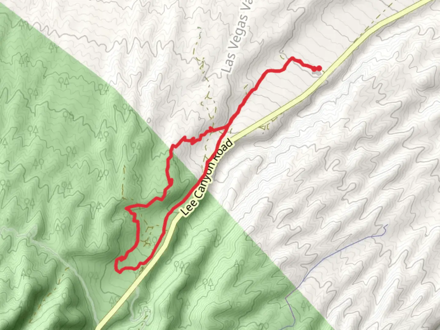
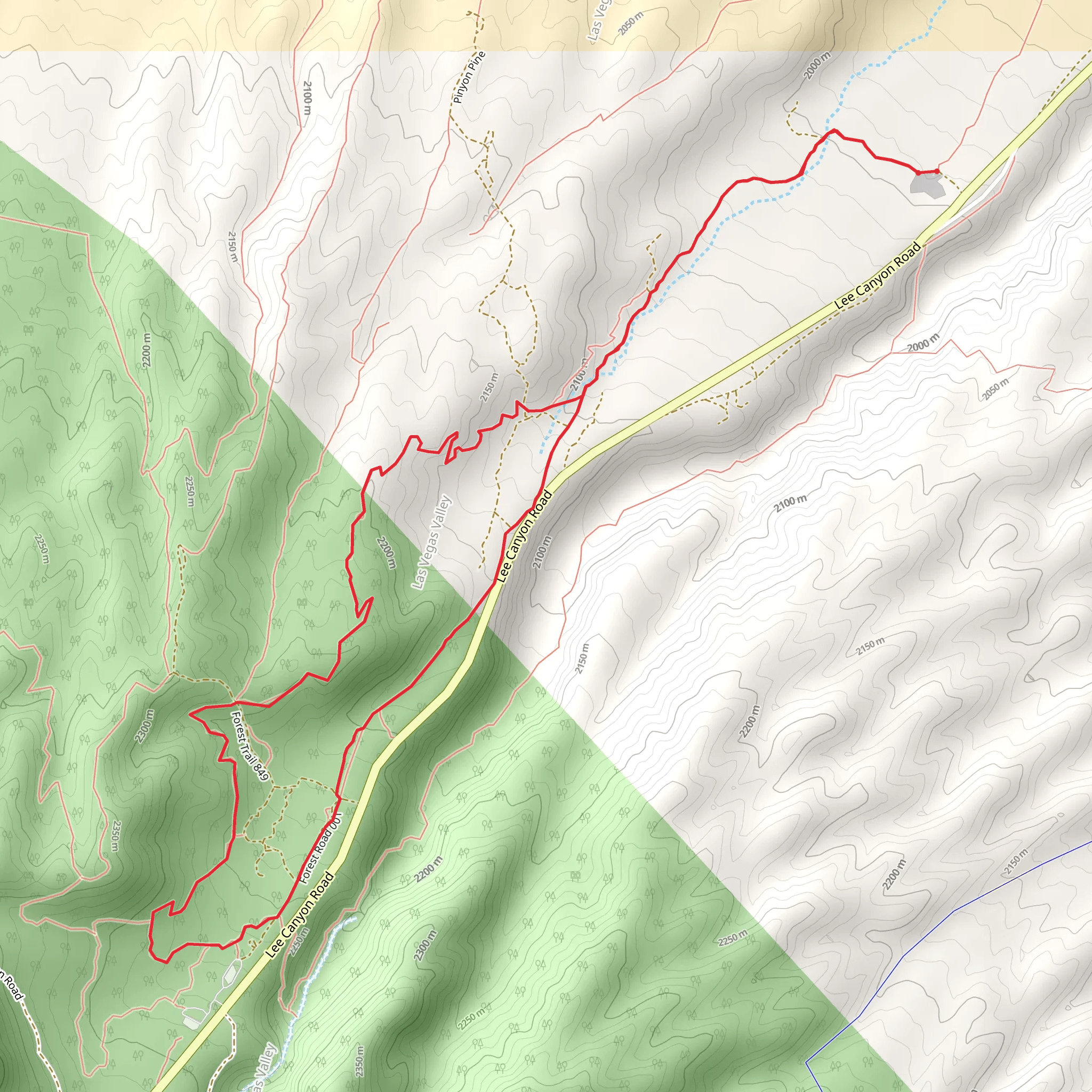
Starting near Clark County, Nevada, the Blue Tree Run Loop is an 11 km (approximately 6.8 miles) trail with an elevation gain of around 300 meters (about 984 feet). This loop trail is rated as medium difficulty, making it suitable for moderately experienced hikers.### Getting There To reach the trailhead, you can drive or use public transport. If driving, head towards the nearest significant landmark, which is the Red Rock Canyon Visitor Center. From there, it's a short drive to the trailhead. For those using public transport, take the RTC Southern Nevada bus service to the Red Rock Canyon Visitor Center, and then arrange for a taxi or rideshare to the trailhead.### Trail Overview The Blue Tree Run Loop offers a diverse range of landscapes, from desert scrub to rocky outcrops. The trail is well-marked, but it's advisable to use HiiKER for navigation to ensure you stay on track.### Key Sections and Landmarks - Starting Point to First Ascent (0-2 km / 0-1.2 miles): The trail begins with a gentle incline, passing through a landscape dotted with Joshua trees and various desert flora. Keep an eye out for the occasional jackrabbit or roadrunner.
- First Ascent to Blue Tree Overlook (2-4 km / 1.2-2.5 miles): The trail starts to climb more steeply, gaining about 150 meters (492 feet) in elevation. This section offers panoramic views of the surrounding desert and distant mountain ranges. The Blue Tree Overlook is a great spot for a break and some photos.- Blue Tree Overlook to Midpoint (4-6 km / 2.5-3.7 miles): The trail levels out and meanders through a rocky plateau. This area is rich in geological formations, including interesting rock layers and small caves. Look out for lizards basking on the rocks.- Midpoint to Second Ascent (6-8 km / 3.7-5 miles): After the plateau, the trail descends slightly before beginning another ascent. This section is less steep but still challenging, with an elevation gain of about 100 meters (328 feet). The vegetation becomes sparser, but you might spot some desert tortoises.- Second Ascent to Final Descent (8-10 km / 5-6.2 miles): The trail reaches its highest point before descending back towards the trailhead. This section offers stunning views of the valley below and is a good place to spot birds of prey like hawks and eagles.- Final Descent to Trailhead (10-11 km / 6.2-6.8 miles): The final stretch is a gentle downhill walk back to the starting point. This part of the trail is shaded in the late afternoon, making it a pleasant end to your hike.### Historical Significance The area around Clark County has a rich history, with evidence of Native American habitation dating back thousands of years. Petroglyphs and ancient artifacts have been found in the region, adding a layer of historical intrigue to your hike. The trail itself passes near some of these archaeological sites, though they are not directly on the path.### Wildlife and Flora The Blue Tree Run Loop is home to a variety of wildlife, including mule deer, coyotes, and a range of bird species. The flora is typical of the Mojave Desert, with yucca, creosote bush, and various cacti. Springtime hikers will be treated to a display of wildflowers, adding a splash of color to the arid landscape.### Preparation Tips
- Water: Carry at least 2 liters (0.5 gallons) of water per person, as there are no water sources along the trail.
- Footwear: Sturdy hiking boots are recommended due to the rocky terrain.
- Sun Protection: Bring sunscreen, a hat, and sunglasses, as the trail offers little shade.
- Navigation: Use HiiKER to keep track of your progress and ensure you stay on the correct path.By following these guidelines and being prepared, you'll have a rewarding experience on the Blue Tree Run Loop, enjoying the natural beauty and historical richness of the area.
What to expect?
Activity types
Comments and Reviews
User comments, reviews and discussions about the Blue Tree Run Loop, Nevada.
4.68
average rating out of 5
31 rating(s)
