Download
Preview
Add to list
More
255.7 km
~12 days
615 m
Multi-Day
“Embark on a scenic 256 km loop through North Brabant's diverse landscapes, rich history, and cultural landmarks.”
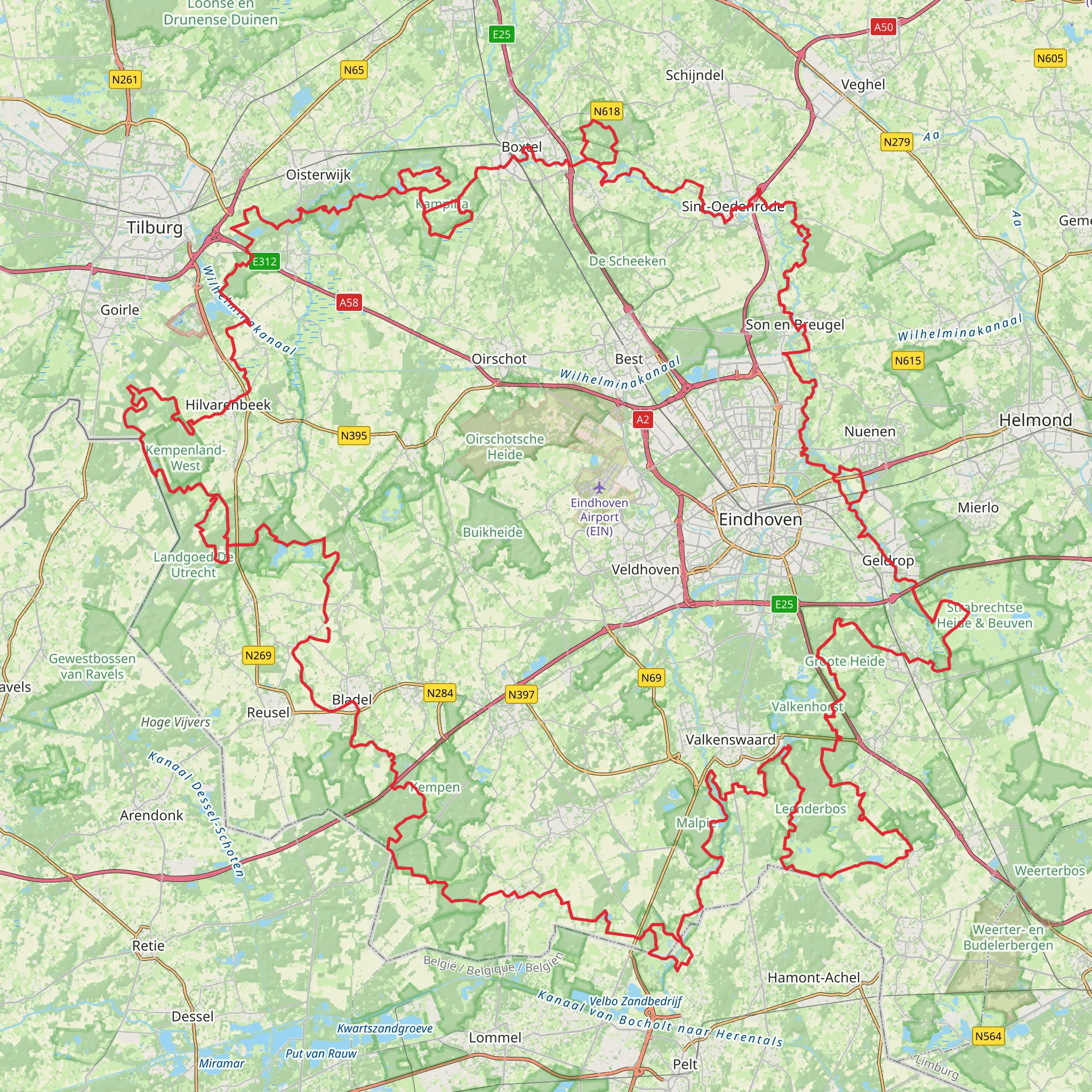
Embarking on the Brabants Vennenpad, hikers will traverse approximately 256 kilometers (159 miles) of diverse landscapes in the southern province of North Brabant, Netherlands. With an elevation gain of around 600 meters (roughly 1968 feet), the trail loops around the region, offering a medium difficulty rating that caters to both seasoned hikers and those looking for a challenge.
Getting to the Trailhead
The trailhead is conveniently located near Oisterwijk, which is accessible by both public transport and car. For those opting for public transportation, Oisterwijk can be reached by train from major cities in the Netherlands. Upon arrival at Oisterwijk Station, the trailhead is just a short walk away. If driving, parking is available in the vicinity of the train station or near the local visitor center, which can serve as an alternative starting point.
Navigating the Trail
Hikers can rely on the HiiKER app for detailed maps and navigation assistance throughout their journey. The trail is well-marked with signage, guiding adventurers through forests, heathlands, and past numerous ponds and fens, known locally as 'vennen.'
Natural Beauty and Wildlife
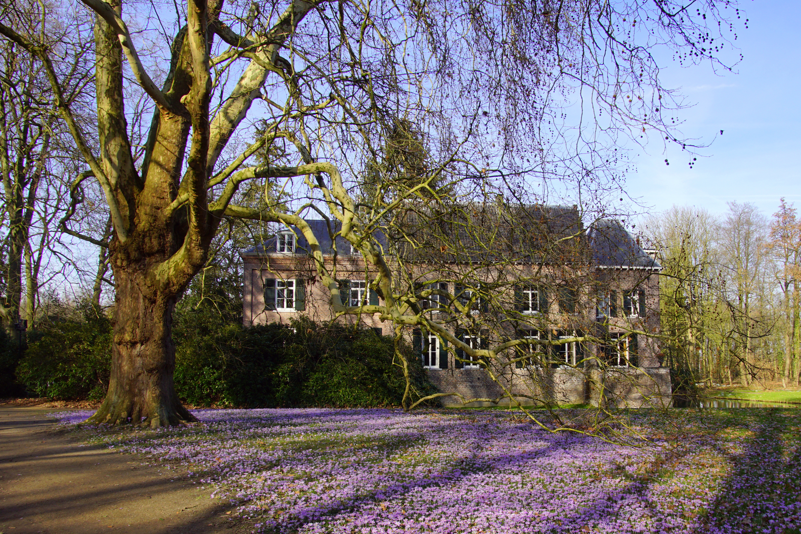
As you set out from Oisterwijk, the path leads through the Kampina Nature Reserve, a highlight of the trail known for its heathlands and fens. The area is a haven for birdwatchers, with species such as the European Nightjar and the Tree Pipit. Approximately 40 kilometers (25 miles) in, the trail skirts around the edges of the Loonse en Drunense Duinen National Park, featuring one of the largest sand dune areas in Western Europe.
Cultural and Historical Landmarks
The Brabants Vennenpad is not only a journey through nature but also a passage through Brabant's rich history. The trail passes through historic towns such as Oirschot and Hilvarenbeek, where hikers can admire well-preserved architecture and local museums. In the vicinity of these towns, the trail often runs alongside or crosses the Wilhelmina Canal, a significant waterway for the region's development.
Trail Sections and Elevation
The trail can be divided into manageable sections, with the option to complete it in stages. The elevation gain is gradual and spread out across the entire loop, with no single section being overly strenuous. However, the highest point of the trail is in the vicinity of Udenhout, near the dunes, where hikers can experience panoramic views of the surrounding landscape.
Preparation and Planning
Before setting out, hikers should prepare for variable weather conditions and pack accordingly. The trail offers a mix of sheltered forest paths and exposed heathland areas, so layers are recommended. There are opportunities to restock supplies in the towns along the route, but carrying enough water and snacks for the more remote sections is essential.
Conclusion
The Brabants Vennenpad is a journey through the heart of North Brabant's natural beauty and cultural heritage. With its moderate difficulty and varied landscapes, it promises an enriching experience for those who embark on its loop. Whether completed in one ambitious trek or over several visits, the trail offers a unique glimpse into the region's soul.
Comments and Reviews
User comments, reviews and discussions about the Brabants Vennenpad, Netherlands.
4.75
average rating out of 5
4 rating(s)

