Download
3D Flyover
Add to list
More
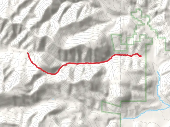
1.1 km
~16 min
39 m
Out and Back
“Embark on a scenic, history-rich hike along Montana's East Rim of Natural Bridge Trail, where diverse landscapes meet awe-inspiring geology.”
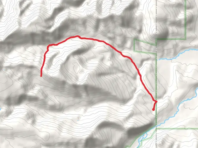
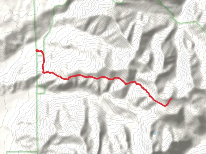
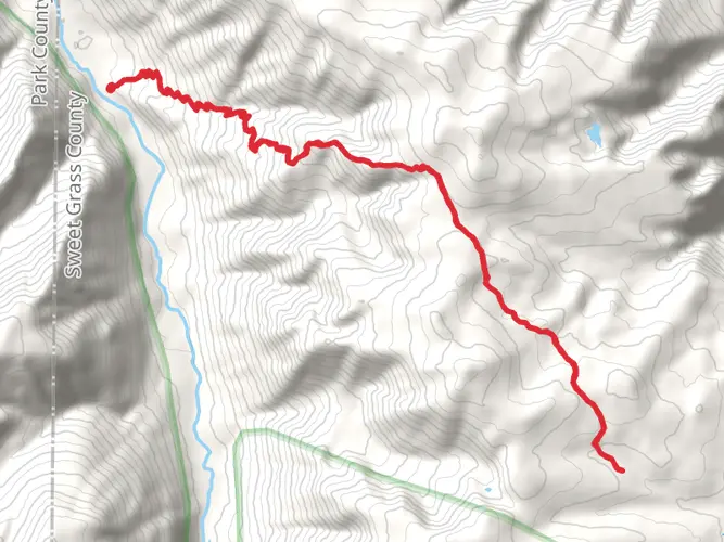
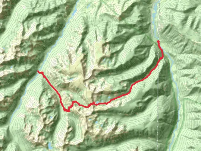
The East Rim of Natural Bridge Trail offers a relatively short but rewarding hike located near Sweet Grass County, Montana. Spanning approximately 1 km (0.6 miles) with minimal elevation gain, this out-and-back trail is accessible to a wide range of hikers, though it is rated medium in difficulty due to the uneven terrain and potential for steep drop-offs.
Getting to the Trailhead To reach the trailhead, hikers can drive to the parking area located just off the main road near Sweet Grass County. There is no direct public transportation to the trail, so a personal vehicle or a taxi service is necessary. Once parked, the trailhead is clearly marked and easy to find.
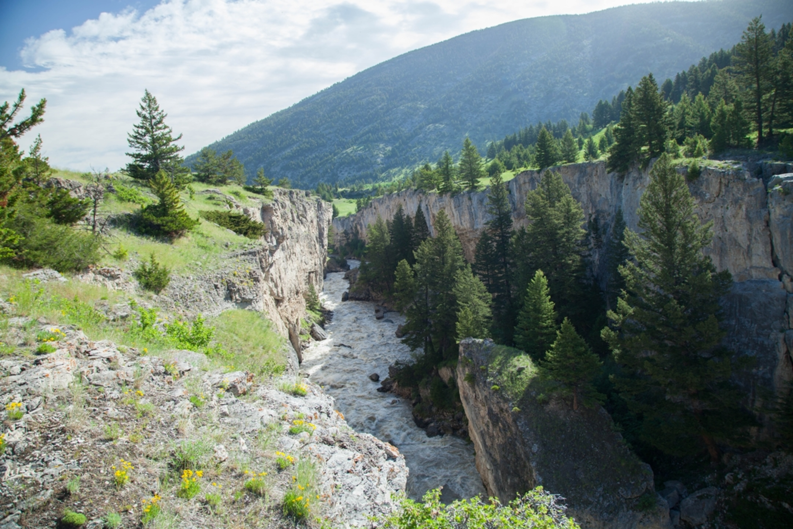
Trail Experience As you embark on the East Rim of Natural Bridge Trail, you'll be greeted by the open expanse of the Montana landscape. The trail is well-defined, but hikers should be prepared for loose rocks and uneven ground. It's advisable to wear sturdy hiking boots and bring trekking poles for additional stability.
The path meanders through a mix of open meadows and sparse forested areas, offering a variety of flora and fauna to observe. Keep an eye out for local wildlife, including deer, birds of prey, and the occasional fox. Remember to maintain a safe distance from any wildlife you encounter.
Landmarks and Scenery One of the most significant landmarks along the trail is the Natural Bridge itself, an impressive rock formation that stands as a testament to the natural forces that have shaped the landscape over millennia. The bridge is a popular spot for photography, so be sure to bring your camera.
As you approach the halfway point of the trail, you'll be rewarded with stunning views of the surrounding mountains and valleys. The lack of significant tree cover in certain areas allows for unobstructed vistas, making it an ideal location for sunrise or sunset hikes.
Historical Significance The region around the East Rim of Natural Bridge Trail is steeped in history. The area was once home to indigenous tribes, and later became a site of interest during the westward expansion of the United States. Hikers with an interest in history may appreciate the sense of the past that the trail evokes.
Navigation For navigation purposes, HiiKER is an excellent tool to use while hiking the East Rim of Natural Bridge Trail. It can help you stay on track and provide real-time updates on your location along the route.
Preparation and Safety Before setting out, ensure you have enough water, as there are no water sources along the trail. The weather can change rapidly, so layered clothing is recommended. Additionally, inform someone of your hiking plans and expected return time.
By following these guidelines and being prepared, hikers can fully enjoy the natural beauty and historical significance of the East Rim of Natural Bridge Trail.

Comments and Reviews
User comments, reviews and discussions about the East Rim of Natural Bridge Trail, Montana.
4.62
average rating out of 5
13 rating(s)