Download
Preview
Add to list
More
25.7 km
~2 days
1313 m
Multi-Day
“Embark on an invigorating trek through Montana's Bitterroot Range, filled with wildlife, history, and breathtaking vistas.”
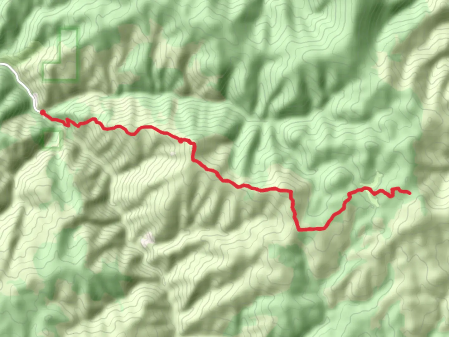
The Bald Top Trail via Sleeping Child Trail offers a moderately challenging hike through the picturesque landscape of Ravalli County, Montana. Spanning approximately 26 kilometers (about 16 miles) with an elevation gain of around 1300 meters (approximately 4270 feet), this out-and-back trail is a rewarding experience for those looking to immerse themselves in the natural beauty of the Bitterroot Range.
Getting to the Trailhead
To reach the trailhead, hikers can drive to the starting point located near Ravalli County. From the town of Hamilton, Montana, take US-93 S for about 11 kilometers (7 miles) before turning east onto Sleeping Child Road. Follow this road for approximately 16 kilometers (10 miles) until you reach the marked trailhead area, where parking is available.
Navigating the Trail
As you embark on your hike, the initial section of the trail meanders through a dense forest of pine and fir trees, with the gentle sounds of Sleeping Child Creek accompanying you. The path is well-defined, but it's always wise to have a reliable navigation tool like HiiKER to ensure you stay on track.
After about 5 kilometers (3 miles), the trail begins to ascend more steeply, offering occasional clearings where you can enjoy expansive views of the surrounding mountains and valleys. The terrain here can be rocky, so sturdy hiking boots are recommended.
Landmarks and Natural Features
As you continue to climb, you'll encounter several switchbacks that ease the ascent. Around the halfway point, at approximately 13 kilometers (8 miles), you'll reach the trail's namesake, Bald Top. This open, grassy area provides a panoramic vista that includes the jagged peaks of the Bitterroot Range and the serene Sleeping Child Lake in the distance.
Wildlife and Flora
The area is home to a diverse array of wildlife, including deer, elk, and black bears. Birdwatchers may also spot various species such as the pileated woodpecker and Clark's nutcracker. The trail is adorned with wildflowers in the spring and summer, adding splashes of color to the greenery.
Historical Significance
The Bitterroot Range has a rich history, with the Nez Perce tribe having traversed these lands long before European settlers arrived. The trail itself may not have significant historical landmarks, but the region echoes the past with its untouched landscapes that have remained largely the same for centuries.
Preparation and Safety
Given the trail's length and elevation gain, it's essential to be well-prepared with enough water, food, and layers of clothing to adapt to changing weather conditions. The trail can be accessed from late spring to early fall, but it's best to check local conditions before setting out, as snow can linger on the higher sections well into the summer months.
Remember to practice Leave No Trace principles, keeping the trail clean and undisturbed for wildlife and fellow hikers. As always, be bear aware, carry bear spray, and know how to use it.
Conclusion
The Bald Top Trail via Sleeping Child Trail is a journey through the heart of Montana's wilderness, offering hikers a chance to connect with nature and experience the grandeur of the Bitterroot Range. With its moderate difficulty, it's accessible to hikers with a reasonable level of fitness and provides a satisfying challenge for those looking to spend a day exploring the great outdoors.

Comments and Reviews
User comments, reviews and discussions about the Bald Top Trail via Sleeping Child Trail, Montana.
4.44
average rating out of 5
9 rating(s)