Download
Preview
Add to list
More
23.9 km
~2 days
1458 m
Multi-Day
“Embark on the Krinklehorn Locke trail for diverse flora, historical intrigue, and breathtaking Montana vistas.”
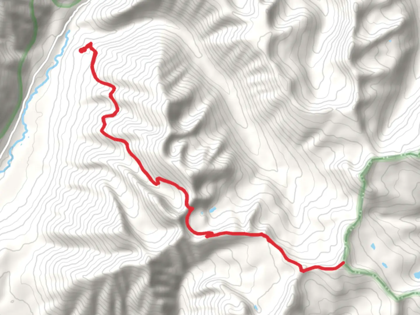
The Krinklehorn Locke via Krinklehorn Peak Trail, nestled in the scenic surroundings of Lincoln County, Montana, offers an immersive hiking experience that spans approximately 24 kilometers (about 15 miles) with an elevation gain of roughly 1400 meters (around 4600 feet). This loop trail is rated as medium difficulty, making it accessible to hikers with a reasonable level of fitness and experience.
Getting to the Trailhead To reach the trailhead, which is conveniently located near Lincoln County, hikers can drive to the nearest significant landmark, the Kootenai National Forest's ranger station. From there, clear signage will direct you to the starting point of the trail. For those relying on public transportation, check local transit schedules for buses that service the area, as routes may lead to nearby towns from where the trailhead is a short taxi ride or a possible shuttle service away.
Navigating the Trail As you embark on your journey, it's advisable to use HiiKER, a reliable navigation tool, to keep track of your progress and ensure you stay on the correct path. The trail begins with a steady incline through dense forests of pine and fir, where the air is fresh and the sound of nature is all around. After about 3 kilometers (nearly 2 miles), you'll encounter a series of switchbacks that will test your endurance as you make your way up to the first plateau.
Landmarks and Scenery The trail offers stunning vistas of the surrounding mountains and valleys. As you approach the 8-kilometer (5-mile) mark, you'll reach Krinklehorn Peak, a prominent landmark that provides panoramic views of the rugged landscape. Here, you can take a moment to enjoy the scenery and capture photos of the breathtaking vistas.
Continuing on, the trail descends into a serene valley, where you might spot local wildlife such as deer, elk, and an array of bird species. The path meanders alongside Krinklehorn Locke, a crystal-clear alpine lake, around the halfway point of the hike. This is an ideal spot for a rest or a picnic while soaking in the tranquil atmosphere.
Historical Significance The region is steeped in history, with the trail passing through areas that were once the hunting grounds of indigenous tribes. As you hike, you may come across historical markers or remnants of early settler activity, offering a glimpse into the past lives of those who shaped the landscape.
Flora and Fauna The diverse ecosystem is home to a variety of plant species, including wildflowers that bloom in the spring and summer months, adding a splash of color to the greenery. Be mindful of the local wildlife and practice Leave No Trace principles to preserve the natural habitat.
Preparing for the Hike Before setting out, ensure you have adequate supplies, including water, food, and layers of clothing to adapt to changing weather conditions. The trail can be challenging in places, so sturdy hiking boots are recommended. Also, be prepared for the elevation gain, which can be taxing, especially for those not accustomed to high altitudes.
Remember to check the weather forecast and trail conditions prior to your hike, as the trail can become difficult to navigate in inclement weather. It's also wise to inform someone of your hiking plans and expected return time for safety reasons.
By following these guidelines and being prepared, hikers can look forward to an enjoyable and memorable experience on the Krinklehorn Locke via Krinklehorn Peak Trail.

Comments and Reviews
User comments, reviews and discussions about the Krinklehorn Locke via Krinklehorn Peak Trail, Montana.
4.6
average rating out of 5
5 rating(s)