Download
3D Flyover
Add to list
More
42.9 km
~2 days
2198 m
Multi-Day
“Embark on the Moose Lake trail, a challenging yet awe-inspiring Montana adventure through majestic landscapes and rich history.”
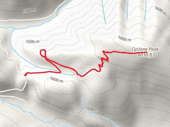
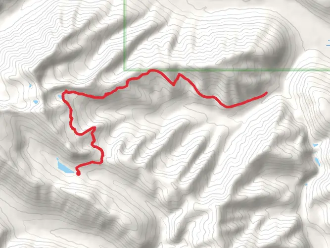
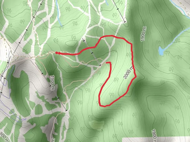
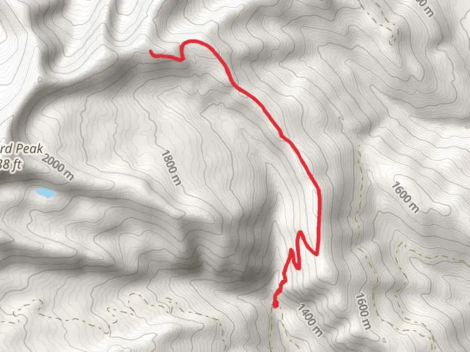
Moose Lake trail, nestled in the scenic region near Flathead County, Montana, offers an adventurous loop that spans approximately 43 kilometers (around 26.7 miles) with an elevation gain of roughly 2100 meters (about 6890 feet). This trail is not for the faint of heart, as it's considered difficult due to its steep inclines and rugged terrain.
Getting to the Trailhead
To reach the starting point of the Moose Lake trail, hikers can drive to the vicinity of Flathead County. The nearest significant landmark is the Glacier National Park, a treasure trove of natural beauty and a beacon for outdoor enthusiasts. For those relying on public transportation, options may be limited, and it's advisable to check local transit schedules for any available routes to the park's vicinity. From there, hikers may need to arrange for a taxi or shuttle service to the trailhead.
Navigating the Trail
Once at the trailhead, hikers should ensure they have the HiiKER app downloaded for navigation, as it will be an invaluable tool for staying on track. The trail begins with a gradual ascent through dense forests, where the air is filled with the scent of pine and the sound of rustling leaves. As you progress, the incline becomes more pronounced, and the path may challenge your endurance.
Landmarks and Scenery
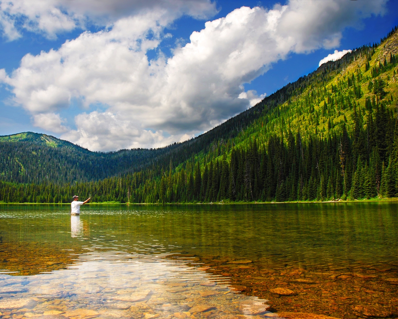
At approximately 10 kilometers (6.2 miles) in, you'll encounter the first of several breathtaking vistas overlooking the valley below. The trail continues to weave through alpine meadows dotted with wildflowers during the warmer months. Keep an eye out for Moose Lake itself, a serene body of water that mirrors the sky and surrounding peaks, providing a perfect spot for a rest and a photo opportunity.
Wildlife and Nature
The area is rich with wildlife, and while sightings are a thrilling part of the experience, it's important to maintain a safe distance and practice bear safety. You may spot moose, deer, and various bird species, including eagles soaring above. The trail also passes through areas that are home to grizzly bears, so carrying bear spray and knowing how to use it is essential.
Historical Significance
The region around Moose Lake is steeped in history, with Glacier National Park being a testament to the conservation efforts that began in the early 20th century. The park and its trails, including Moose Lake, are located on the traditional lands of several Native American tribes, and hikers are encouraged to respect this heritage by leaving no trace and preserving the natural environment.
Preparation and Planning
Given the trail's difficulty, hikers should be well-prepared with adequate supplies, including water, food, and layers to accommodate changing weather conditions. It's also wise to inform someone of your hiking plans and expected return time. The best times to hike are late spring through early fall, as the trail can be covered in snow during the winter months, making it even more challenging and potentially hazardous.
Remember, the Moose Lake trail offers a rewarding experience for those who are well-prepared and respectful of the natural and historical significance of the area. Enjoy the journey, and let the rugged beauty of Montana inspire your adventurous spirit.

What to expect?
Activity types
Frequently asked questions
How long is the Moose Lake hike in Flathead County, Montana?
The Moose Lake hike is 42.92 kilometers, or about 26.7 miles. At that length, it fits best as a multi-day backpacking route rather than a short day hike, especially with its substantial climbing and remote setting in Flathead County.
How hard is the Moose Lake hike and how much elevation gain does Moose Lake have?
Moose Lake is rated difficult and gains 2,198 meters of elevation, which is about 7,211 feet. That combination of distance and climbing makes it a demanding route better suited to experienced hikers who are comfortable with long mountain days and sustained ascents.
How many days does it take to hike Moose Lake in Montana?
Most hikers should plan Moose Lake as a 2- to 3-day trip. The route covers 42.92 kilometers with 2,198 meters of ascent, so pace depends on fitness, pack weight, weather, and how much time is spent at camp or along the lake and higher sections of the trail.
Is Moose Lake a loop or out-and-back hike in Flathead County?
Moose Lake is listed as a multi-day route rather than a simple short loop walk, and the total recorded distance is 42.92 kilometers. For trip planning, it should be treated as a substantial backcountry hike where route-finding, camp logistics, and daily mileage matter more than a quick turnaround at a single viewpoint.
Is there camping near Moose Lake in Flathead County, Montana?
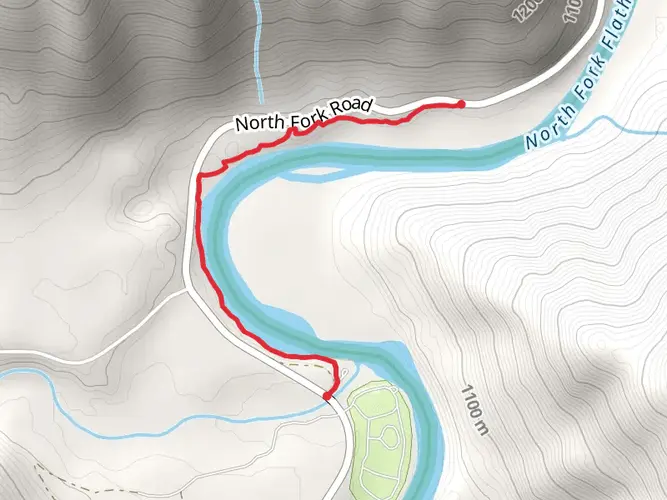
Yes. Moose Lake Campground in Flathead National Forest has 3 designated campsites, a vault toilet, and no potable water, so water treatment is necessary. The campground is open 24 hours a day, typically begins operating in early July, and sits about 35 miles north of Columbia Falls via North Fork Road, Road 316, and Road 315.
Where do you park for the Moose Lake hike in Montana?
Parking access for Moose Lake is typically tied to the Moose Lake Campground area in Flathead National Forest. The Forest Service directions place it about 35 miles north of Columbia Falls on North Fork Road, then Road 316 and Road 315, with seasonal opening conditions that can vary from year to year.
Comments and Reviews
User comments, reviews and discussions about the Moose Lake, Montana.
4.63
average rating out of 5
8 rating(s)