Download
Preview
Add to list
More
13.9 km
~3 hrs 6 min
191 m
Loop
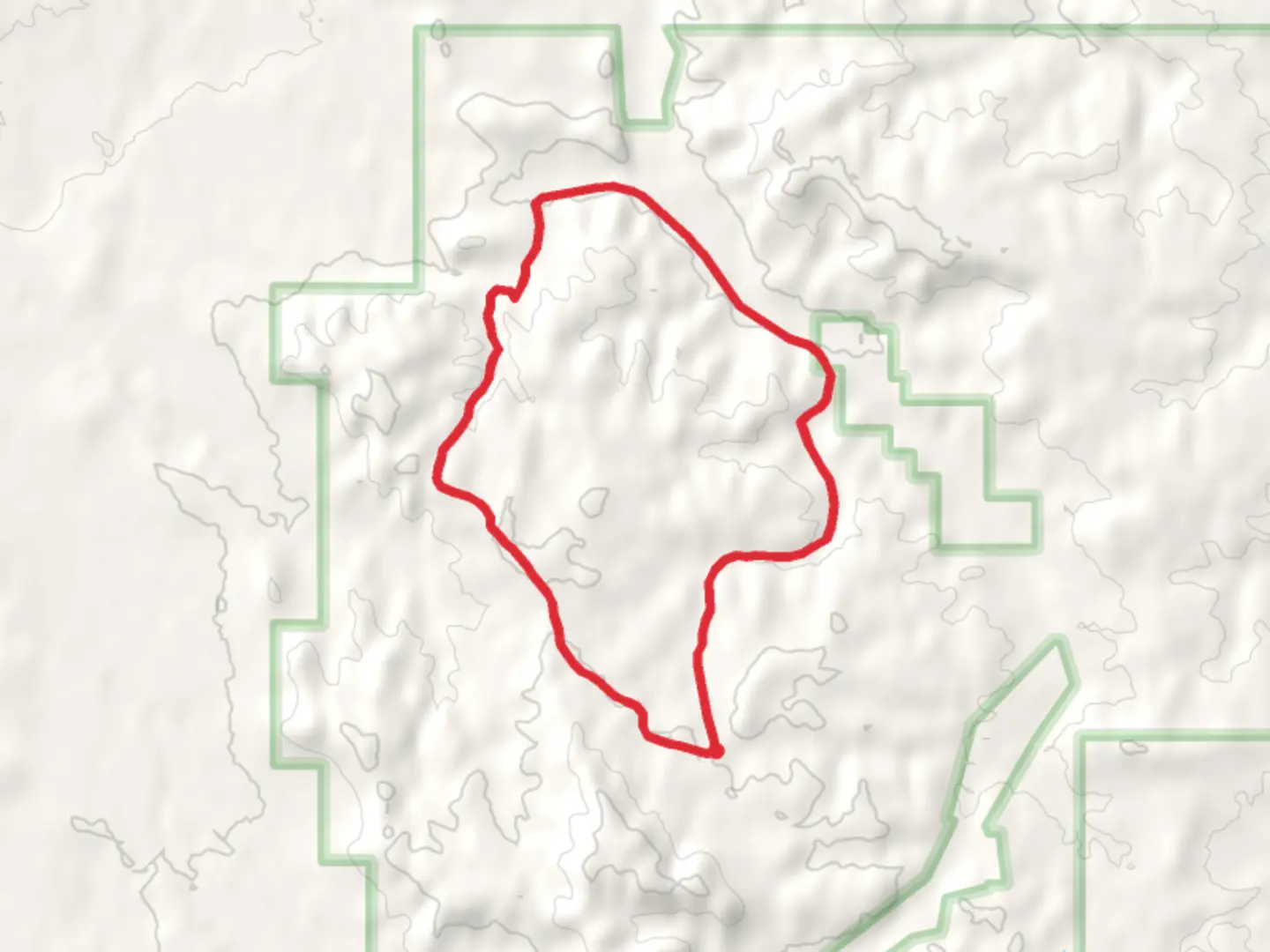
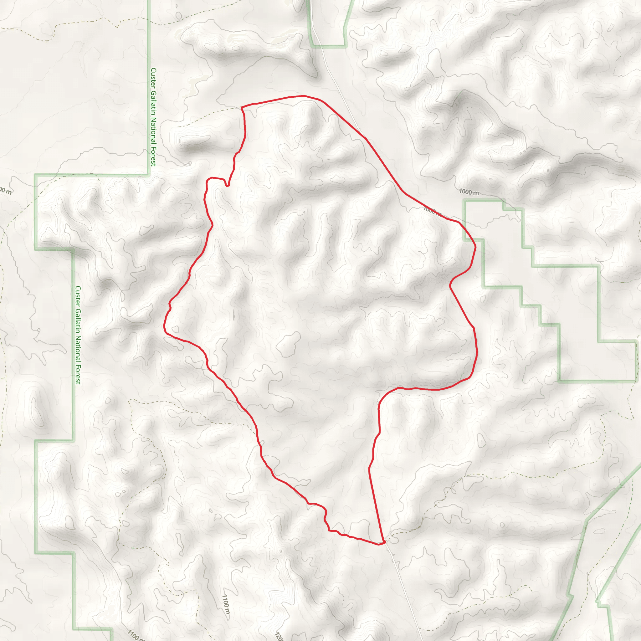
“Starting near Carter County, Montana, Iron Spring Loop offers a picturesque 14 km hike through meadows, forests, and historical sites.”
Starting near Carter County, Montana, the Iron Spring Loop is a 14 km (approximately 8.7 miles) trail with an elevation gain of around 100 meters (328 feet). This loop trail is rated as medium difficulty, making it suitable for moderately experienced hikers.
Getting There To reach the trailhead, you can drive or use public transport. If driving, head towards the nearest significant landmark, the Carter County Museum in Ekalaka, Montana. From there, it's a short drive to the trailhead. Public transport options are limited, so it's advisable to arrange a car or carpool if possible.
Trail Overview The Iron Spring Loop offers a diverse hiking experience, featuring a mix of open meadows, dense forests, and scenic viewpoints. The trail is well-marked, but it's always a good idea to have a reliable navigation tool like HiiKER to ensure you stay on track.
Key Sections and Landmarks - **0-2 km (0-1.2 miles):** The trail begins with a gentle ascent through a meadow filled with wildflowers in the spring and summer months. Keep an eye out for deer and other wildlife that frequent this area. - **2-5 km (1.2-3.1 miles):** As you enter a denser forested section, the trail becomes more shaded. This part of the trail is relatively flat, making it a good opportunity to catch your breath and enjoy the surroundings. Look for signs of historical logging activities, as this area was once a bustling logging site in the early 20th century.
- 5-7 km (3.1-4.3 miles): The trail starts to climb gradually, offering panoramic views of the surrounding landscape. This is a great spot for a break and some photography. The elevation gain here is about 50 meters (164 feet), so take it slow if needed.
- 7-10 km (4.3-6.2 miles): You'll reach Iron Spring, a natural spring that has been a water source for both wildlife and early settlers. The spring is a perfect spot to refill your water bottles and enjoy a peaceful moment.
- 10-14 km (6.2-8.7 miles): The final stretch of the trail loops back towards the trailhead, descending gently through another meadow. This section is relatively easy and offers a relaxing end to your hike.
Flora and Fauna The Iron Spring Loop is home to a variety of plant and animal species. In the meadows, you'll find wildflowers such as lupines and Indian paintbrush. The forested areas are dominated by pine and spruce trees. Wildlife sightings may include deer, elk, and a variety of bird species, so bring your binoculars if you're a birdwatcher.
Historical Significance The region around the Iron Spring Loop has a rich history. The trail passes through areas that were once used by Native American tribes for hunting and gathering. In the early 1900s, the area saw a boom in logging activities, remnants of which can still be seen along the trail. The natural spring itself has been a crucial water source for both wildlife and early settlers, adding a layer of historical significance to your hike.
Preparation Tips - **Footwear:** Wear sturdy hiking boots with good ankle support. - **Water:** Carry at least 2 liters of water, especially if hiking in the summer. - **Navigation:** Use HiiKER for reliable trail navigation. - **Weather:** Check the weather forecast before heading out, as conditions can change rapidly. - **Wildlife:** Be aware of your surroundings and keep a safe distance from any wildlife you encounter.
By following these guidelines and being prepared, you'll have a safe and enjoyable hike on the Iron Spring Loop.
What to expect?
Activity types
Comments and Reviews
User comments, reviews and discussions about the Iron Spring Loop, Montana.
4.38
average rating out of 5
13 rating(s)
