Download
Preview
Add to list
More
5.5 km
~1 hrs 17 min
118 m
Out and Back
“Explore history and nature on the moderate, scenic Historic Route of Wire Road near Greene County, Missouri.”
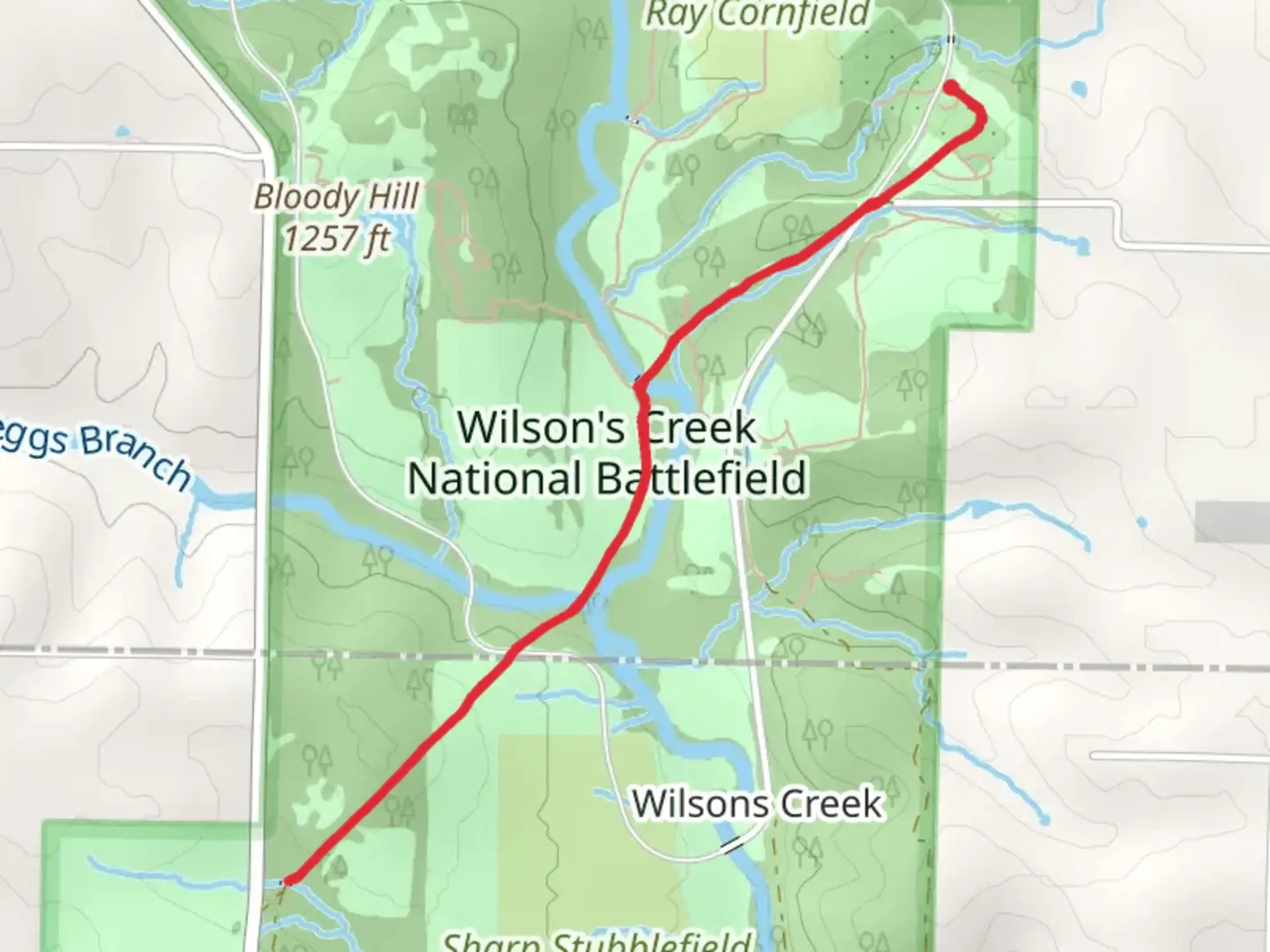
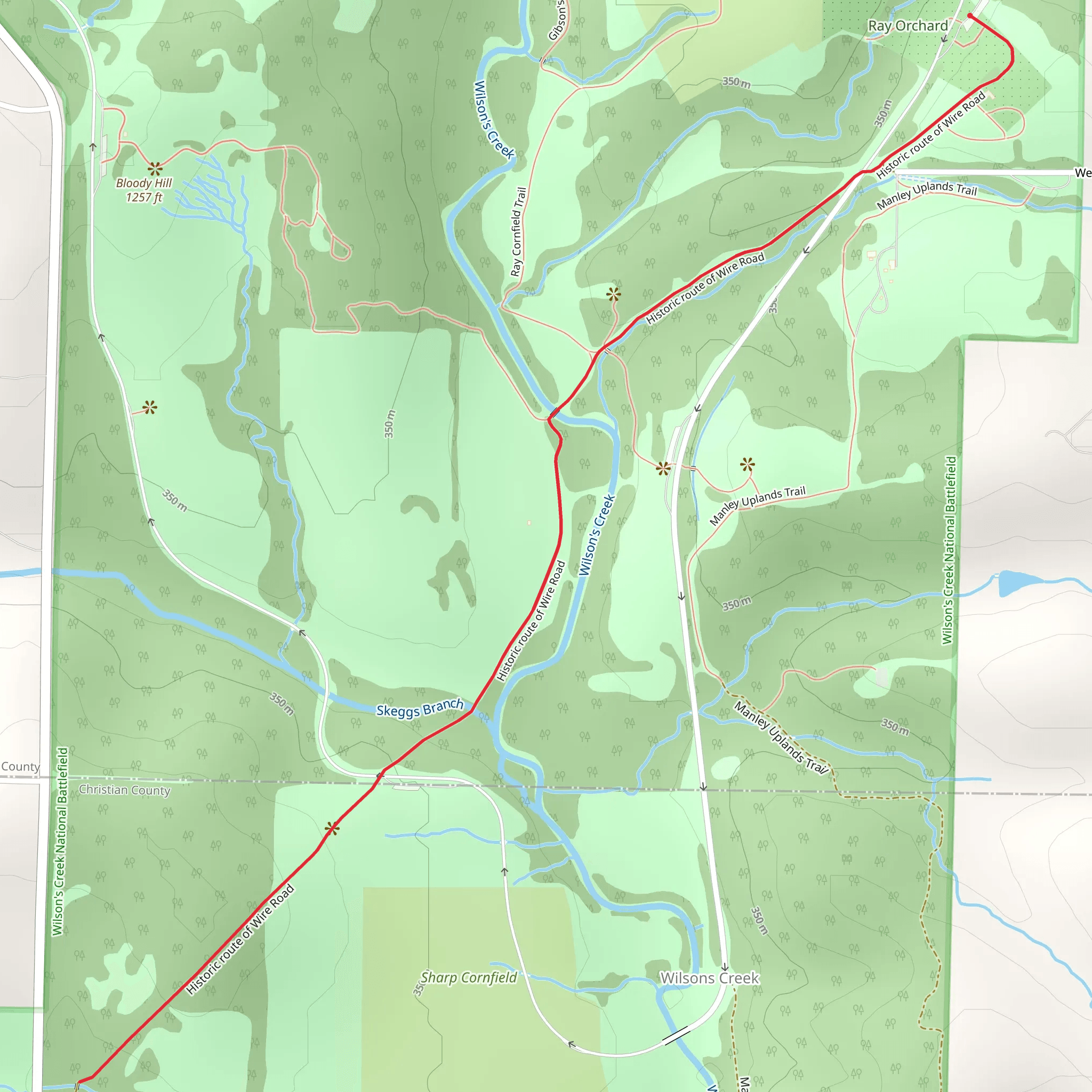
Starting near Greene County, Missouri, the Historic Route of Wire Road is a fascinating 5 km (approximately 3.1 miles) out-and-back trail with an elevation gain of around 100 meters (328 feet). This trail is rated as medium difficulty, making it accessible for most hikers with a moderate level of fitness.
Getting There
To reach the trailhead, you can drive or use public transportation. If you're driving, head towards the nearest significant landmark, the Wilson's Creek National Battlefield Visitor Center. From there, it's a short drive to the trailhead. For those using public transport, the nearest bus stop is at the Battlefield Visitor Center, which is serviced by local bus routes. From the visitor center, you can either walk or take a short taxi ride to the trailhead.
Trail Overview
The Historic Route of Wire Road is steeped in history, tracing a path that was once a vital communication and transportation route during the Civil War. As you hike, you'll be walking in the footsteps of soldiers and pioneers who traversed this area over a century ago.
Key Landmarks and Points of Interest
- Wilson's Creek National Battlefield: At the start of your hike, you can explore the Wilson's Creek National Battlefield, a significant site where the Battle of Wilson's Creek took place in 1861. This battle was one of the first major engagements of the Civil War, and the area is rich with historical markers and interpretive signs.
- Wire Road: The trail itself follows the historic Wire Road, which was used for telegraph lines and troop movements during the Civil War. As you hike, you'll notice remnants of the old roadbed and possibly some historical artifacts.
- Nature and Wildlife: The trail meanders through a mix of open fields and wooded areas, offering a variety of flora and fauna. Keep an eye out for white-tailed deer, wild turkeys, and a variety of bird species. The area is also home to several types of wildflowers, especially in the spring and early summer.
Trail Navigation
Using HiiKER for navigation is highly recommended. The app provides detailed maps and real-time GPS tracking, ensuring you stay on the correct path. The trail is well-marked, but having a reliable navigation tool can enhance your hiking experience.
Elevation and Terrain
The trail features a gradual elevation gain of about 100 meters (328 feet), making it a moderate climb. The terrain is a mix of dirt paths and rocky sections, so sturdy hiking boots are advisable. There are a few inclines and declines, but nothing too strenuous for the average hiker.
Historical Significance
The Historic Route of Wire Road is not just a hike; it's a journey through history. The road was a crucial supply and communication line during the Civil War, and walking it gives you a tangible connection to the past. Interpretive signs along the trail provide context and stories about the events that took place here, making it an educational experience as well.
Final Tips
- Water and Snacks: Make sure to bring enough water and some snacks, especially if you plan to explore the battlefield area before or after your hike. - Weather: Check the weather forecast before heading out. The trail can get muddy after rain, and the open fields offer little shade on hot days. - Respect the Area: As a historical site, it's important to respect the landmarks and artifacts. Stick to the trail and avoid disturbing any historical remnants you might come across.
This trail offers a unique blend of natural beauty and historical significance, making it a rewarding experience for both history buffs and nature enthusiasts alike.
What to expect?
Activity types
Comments and Reviews
User comments, reviews and discussions about the Historic route of Wire Road, Missouri.
4.71
average rating out of 5
28 rating(s)
