Download
Preview
Add to list
More
30.1 km
~2 days
176 m
Multi-Day
“Wander the Tuxachanie Trail's historic paths through Mississippi's diverse forests and swamps, geared for the moderately experienced hiker.”
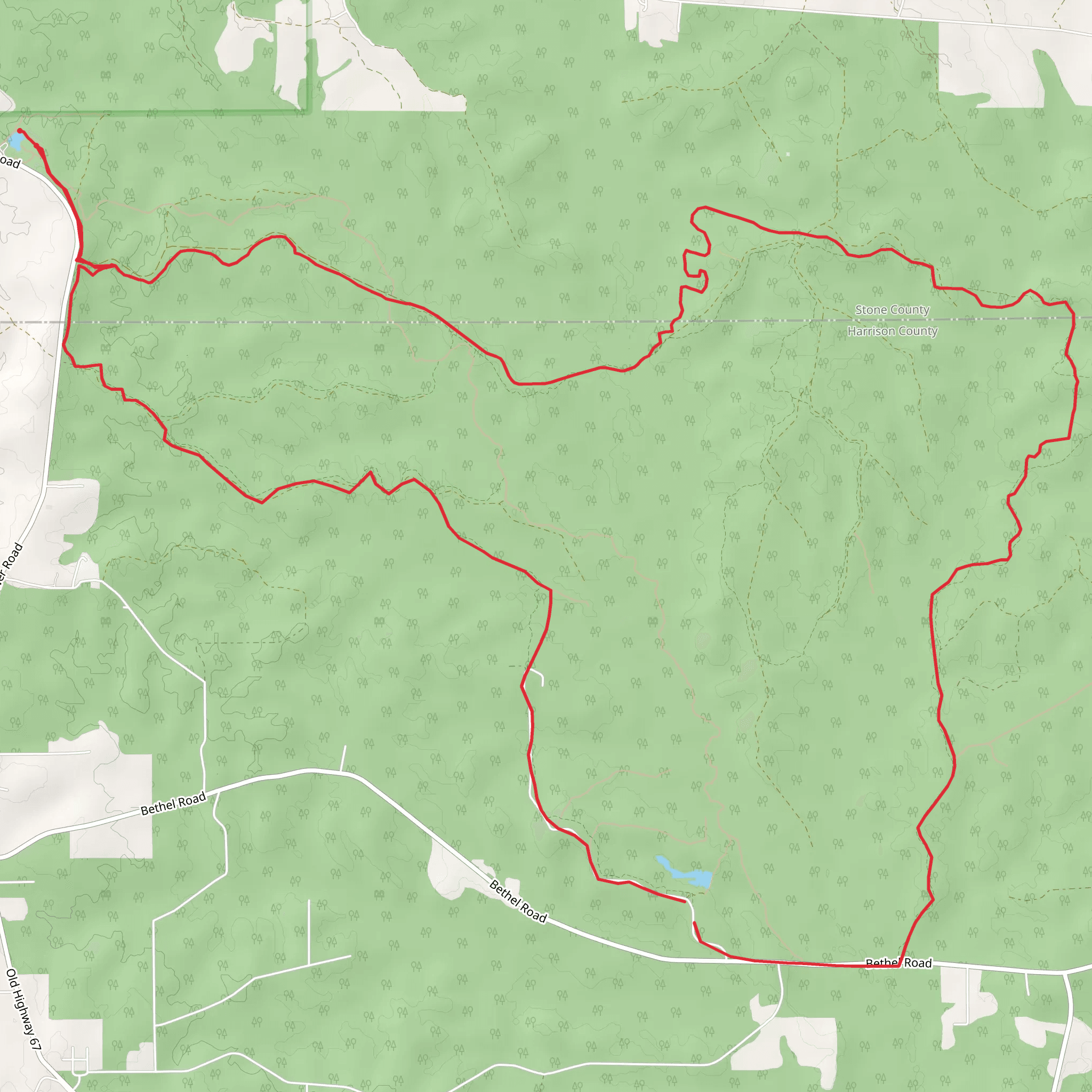
The Tuxachanie Trail, stretching approximately 30 kilometers (about 19 miles) with an elevation gain of around 100 meters (328 feet), offers an immersive experience through the De Soto National Forest near Stone County, Mississippi. This loop trail is rated as medium difficulty, making it accessible to hikers with some experience.
Getting There To reach the trailhead, if you're driving, navigate towards the Airey Lake Recreation Area, which is the most common starting point for the Tuxachanie Trail. The trailhead is located off Highway 49, about 5 miles south of Saucier, Mississippi. For those relying on public transportation, options are limited, and it's advisable to check the latest schedules and routes for any regional services that may drop you near the trailhead.
Trail Experience As you embark on the Tuxachanie Trail, you'll traverse a variety of landscapes, including longleaf pine savannas, cypress swamps, and hardwood forests. The trail is well-marked, but carrying a navigation tool like HiiKER can help ensure you stay on the right path.
Historical Significance The trail itself is steeped in history, originally developed by the Civilian Conservation Corps (CCC) in the 1930s. As you hike, you'll encounter remnants of the region's past, including old cemeteries and homesteads that date back to the early 20th century.
Flora and Fauna Nature enthusiasts will appreciate the diverse ecosystems along the Tuxachanie Trail. The area is home to a variety of wildlife, including white-tailed deer, wild turkeys, and numerous bird species. The trail also showcases the region's botanical diversity, with blooming wildflowers in the spring and a rich display of ferns and mosses year-round.
Points of Interest About 5 kilometers (3 miles) into the hike, you'll reach the Airey Lake Campground, a pleasant spot for a break with facilities available. Further along, at approximately the halfway mark, the trail crosses the Tuxachanie Creek, a serene waterway that offers a picturesque setting for a rest or a picnic.
Trail Conditions and Preparation The trail is generally flat, with some boardwalks over wet areas. However, after heavy rains, certain sections may become muddy or even flooded. It's advisable to check the weather forecast and trail conditions before your hike. Ensure you have adequate water, as sources along the trail are not potable without treatment. Also, bring insect repellent, as mosquitoes can be prevalent in the warmer months.
Navigation and Safety While the trail is well-marked with blue blazes, it's wise to have a reliable navigation tool like HiiKER downloaded on your mobile device, especially since cell service can be spotty. Always let someone know your hiking plans and expected return time.
Remember, the Tuxachanie Trail offers a chance to enjoy the natural beauty and historical richness of southern Mississippi. With proper preparation and respect for the environment, your hike can be a memorable journey through this unique landscape.
What to expect?
Activity types
Comments and Reviews
User comments, reviews and discussions about the Tuxachanie Trail, Mississippi.
4.46
average rating out of 5
91 rating(s)

