Download
Preview
Add to list
More
30.8 km
~1 day 1 hrs
63 m
Point-to-Point
“The Tanglefoot Trail blends history, nature, and a moderate hike through Mississippi's scenic landscapes.”
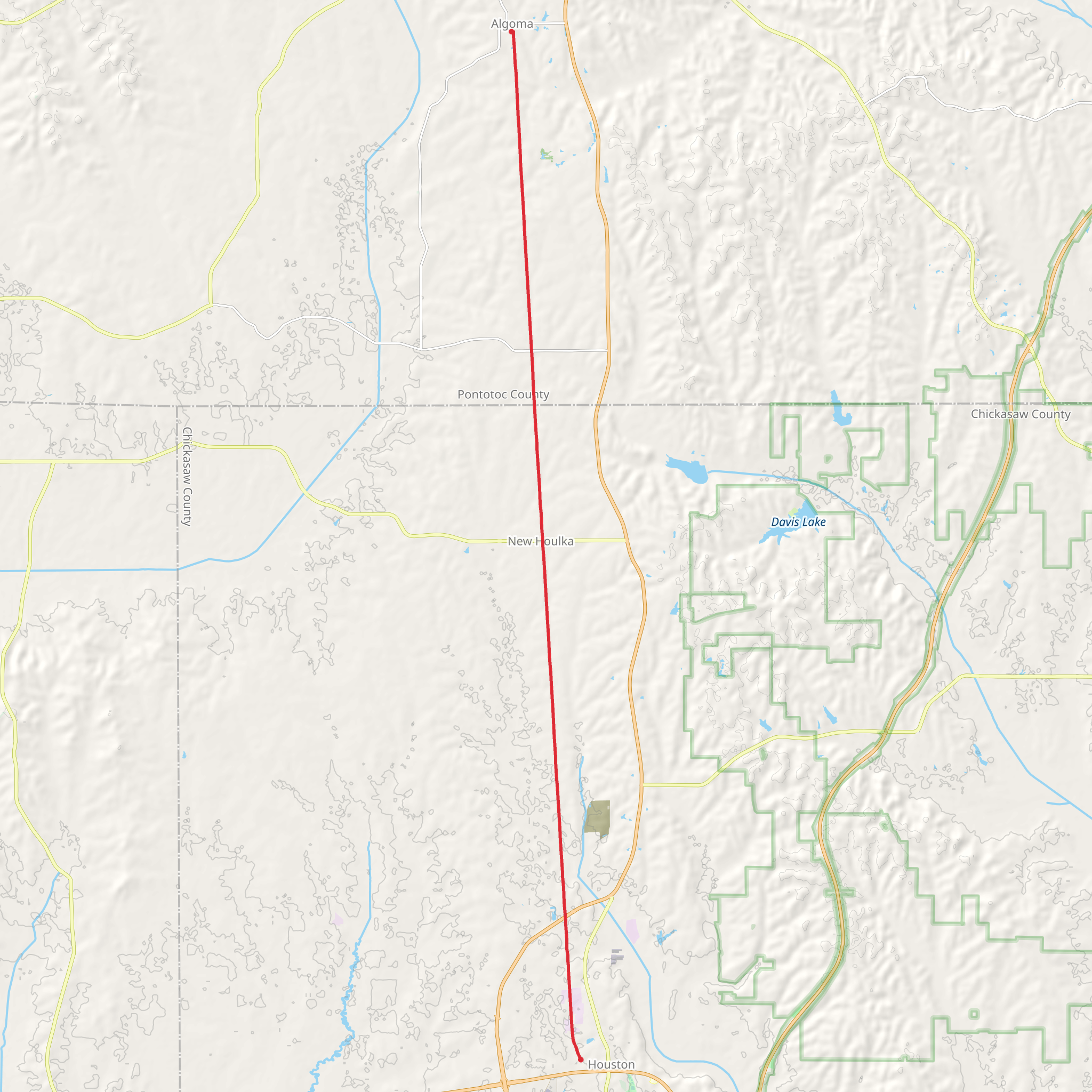
The Tanglefoot Trail stretches approximately 31 kilometers (19.3 miles) through the scenic landscapes of northern Mississippi, offering a unique point-to-point hiking experience. With an elevation gain of around 0 meters (0 feet), this trail is relatively flat, making it accessible for hikers of varying skill levels, though it is rated as medium difficulty due to its length.
Getting There The trailhead is located near Chickasaw County, Mississippi. If you're driving, you can park at the Houston Trailhead, which is situated near the intersection of North Jackson Street and East Madison Street in Houston, MS. For those relying on public transport, the nearest significant bus stop is in Tupelo, MS, approximately 30 miles (48 kilometers) away. From Tupelo, you can take a taxi or rideshare service to reach the trailhead.
Trail Highlights The Tanglefoot Trail is rich in history and natural beauty. It follows the path of the old Gulf and Ship Island Railroad, which was instrumental in the development of the region in the late 19th and early 20th centuries. As you hike, you'll pass through a variety of landscapes, including dense forests, open fields, and charming small towns.
#### Historical Significance One of the most significant landmarks along the trail is the town of New Houlka, located about 10 kilometers (6.2 miles) from the Houston Trailhead. This town was a key stop on the railroad and has several historical buildings worth exploring. Another notable point is the Algoma community, approximately 20 kilometers (12.4 miles) into the hike, where you can see remnants of the old railroad infrastructure.
Nature and Wildlife The trail is a haven for birdwatchers, with numerous species inhabiting the area. Keep an eye out for red-tailed hawks, woodpeckers, and various songbirds. The surrounding forests are home to white-tailed deer, raccoons, and even the occasional fox. In the spring and summer, the trail is adorned with wildflowers, adding a splash of color to your hike.
Navigation For navigation, it's highly recommended to use the HiiKER app, which provides detailed maps and real-time updates. The trail is well-marked, but having a reliable navigation tool can enhance your hiking experience and ensure you stay on track.
Amenities and Safety There are several rest stops along the trail, equipped with benches and picnic tables. Water fountains are available at major trailheads, but it's advisable to carry sufficient water, especially during the hotter months. The trail is patrolled by local authorities, but always practice standard hiking safety: let someone know your plans, carry a basic first aid kit, and be aware of your surroundings.
Final Stretch The trail concludes near the town of Pontotoc, MS, where you can find additional amenities such as restaurants and lodging if you plan to stay overnight. The Pontotoc Trailhead is located near the intersection of West Oxford Street and South Main Street, making it easy to find transportation back to your starting point or next destination.
The Tanglefoot Trail offers a blend of historical intrigue, natural beauty, and a moderately challenging hike, making it a rewarding experience for those who traverse its path.
What to expect?
Activity types
Comments and Reviews
User comments, reviews and discussions about the Tanglefoot Trail, Mississippi.
4.47
average rating out of 5
284 rating(s)
