Download
Preview
Add to list
More
3.5 km
~43 min
17 m
Loop
“Explore the Restored Prairie Loop: a scenic, historical 3 km trail near Mower County Historical Society.”
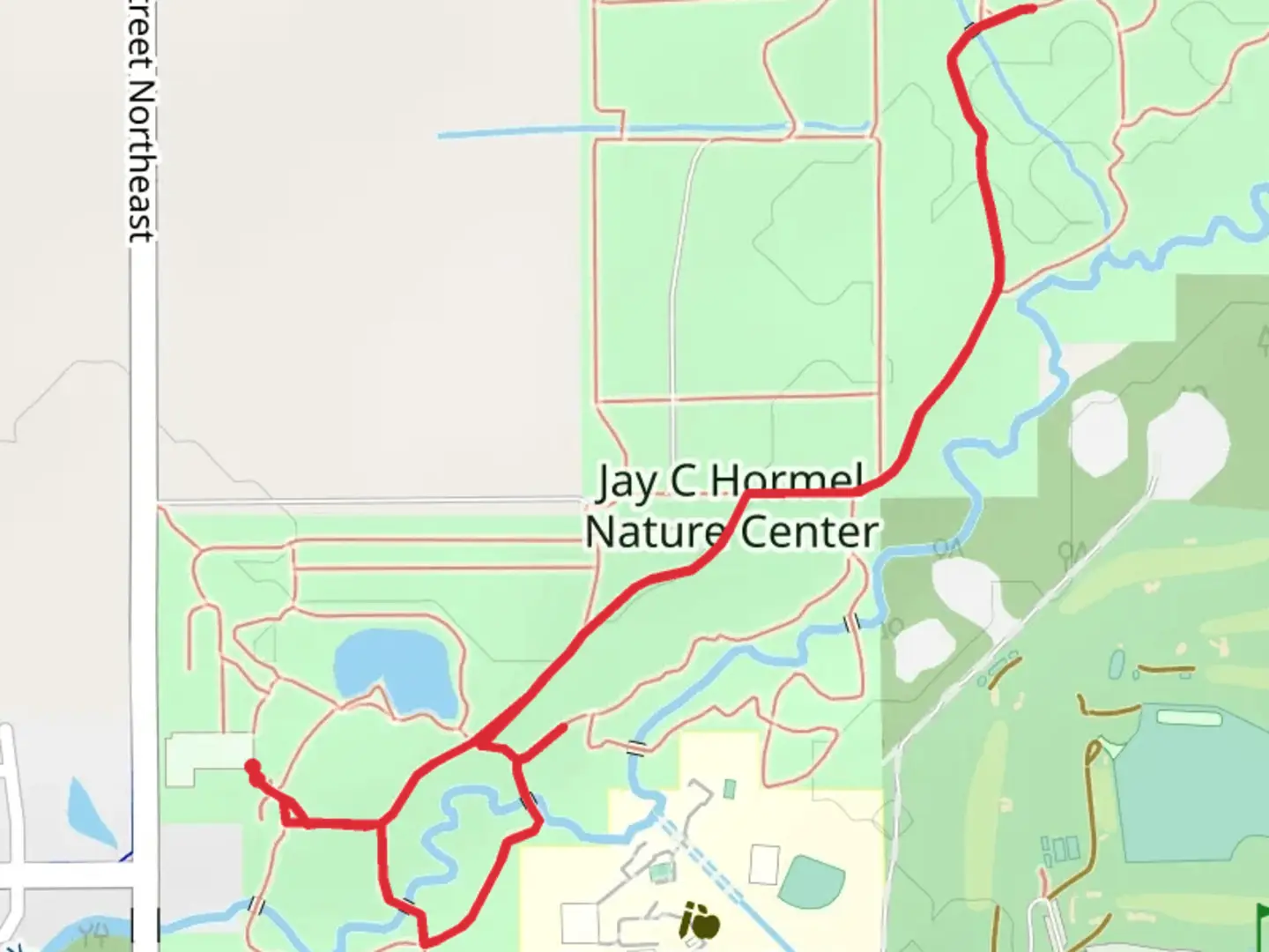
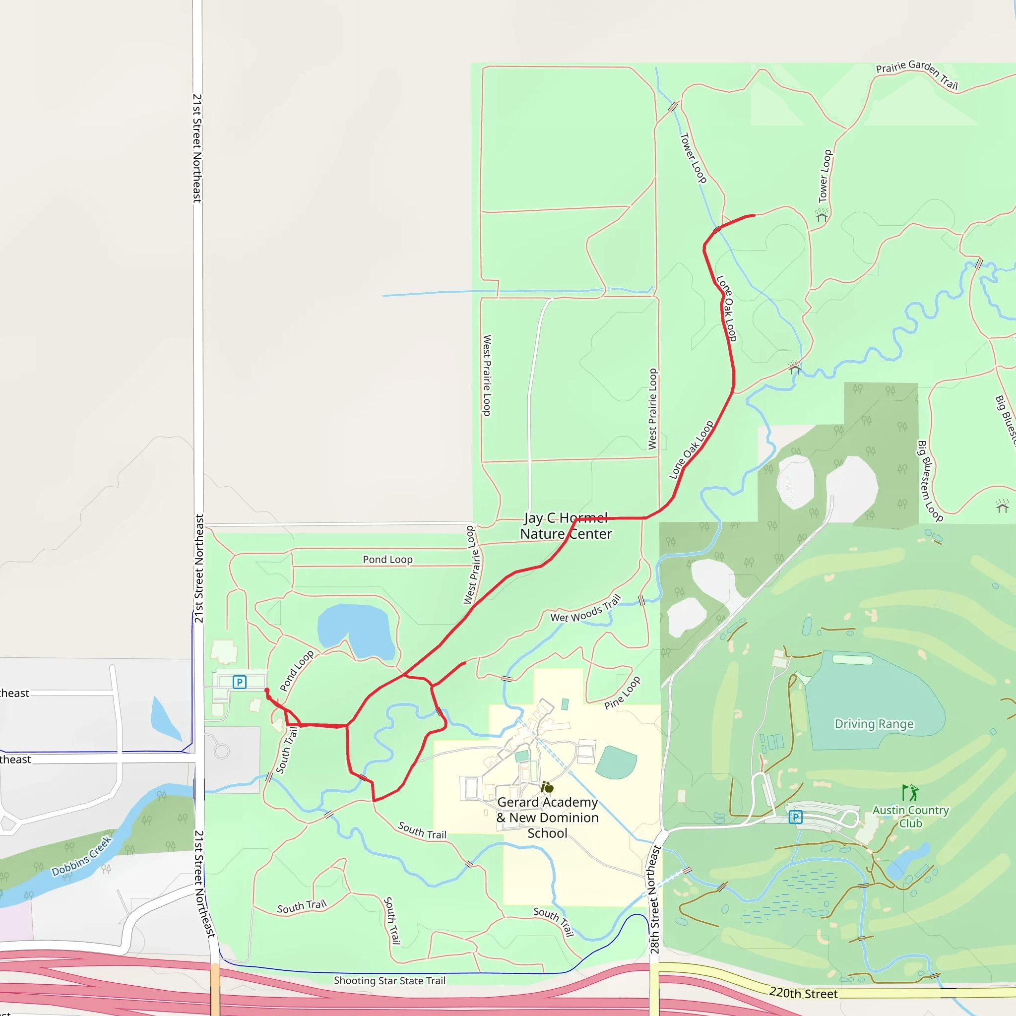
Starting near Mower County, Minnesota, the Restored Prairie Loop and Covered Bridge Trail offers a delightful 3 km (approximately 1.86 miles) loop with no significant elevation gain, making it accessible for a wide range of hikers. The trailhead is conveniently located near the Mower County Historical Society, which can serve as a useful landmark for those navigating to the start point.### Getting There For those traveling by car, the trailhead is easily accessible from Austin, Minnesota. From Austin, head south on 4th Street NW and continue onto 12th Street SW. Follow signs for the Mower County Historical Society, where parking is available. If using public transport, the nearest bus stop is at the intersection of 4th Street NW and 12th Street SW, a short walk from the trailhead.### Trail Highlights The trail meanders through a beautifully restored prairie landscape, offering hikers a chance to experience the native flora and fauna of the region. Early in the hike, you'll encounter a variety of wildflowers, especially vibrant in the spring and summer months. Keep an eye out for prairie grasses such as Big Bluestem and Indian Grass, which dominate the landscape.### Covered Bridge Approximately 1 km (0.62 miles) into the hike, you'll come across the trail's namesake covered bridge. This charming structure not only provides a picturesque photo opportunity but also serves as a reminder of the area's historical significance. Covered bridges were once common in this region, offering protection from the elements for both travelers and the wooden bridge structures themselves.### Wildlife and Nature As you continue along the loop, the trail takes you through a mix of open prairie and shaded woodland areas. This diverse habitat supports a variety of wildlife. Birdwatchers will be delighted by the presence of species such as the Eastern Meadowlark and Red-winged Blackbird. Deer and small mammals like rabbits are also frequently spotted along the trail.### Navigation and Safety The trail is well-marked with clear signage at key junctions. For those who prefer digital navigation, the HiiKER app provides detailed maps and real-time GPS tracking to ensure you stay on course. Given the relatively flat terrain, the trail is rated as medium difficulty primarily due to its length and the need for basic navigation skills.### Historical Significance The region around Mower County has a rich history, with the prairie restoration efforts serving as a testament to the area's agricultural past. The covered bridge is a nod to the 19th-century infrastructure that once dotted the landscape, providing a tangible link to the past.### Final Stretch As you near the end of the loop, the trail brings you back through the prairie, offering one last chance to soak in the natural beauty of the area. The final stretch is relatively straightforward, leading you back to the trailhead near the Mower County Historical Society.This trail offers a perfect blend of natural beauty, historical landmarks, and wildlife, making it a rewarding hike for those looking to explore the unique landscapes of southern Minnesota.
What to expect?
Activity types
Comments and Reviews
User comments, reviews and discussions about the Restored Prairie Loop and Covered Bridge Trail, Minnesota.
4.52
average rating out of 5
27 rating(s)
