Download
Preview
Add to list
More
7.1 km
~1 hrs 59 min
346 m
Out and Back
“Experience the rugged beauty of North Shore on the captivating 7 km West Devil Track Trail.”
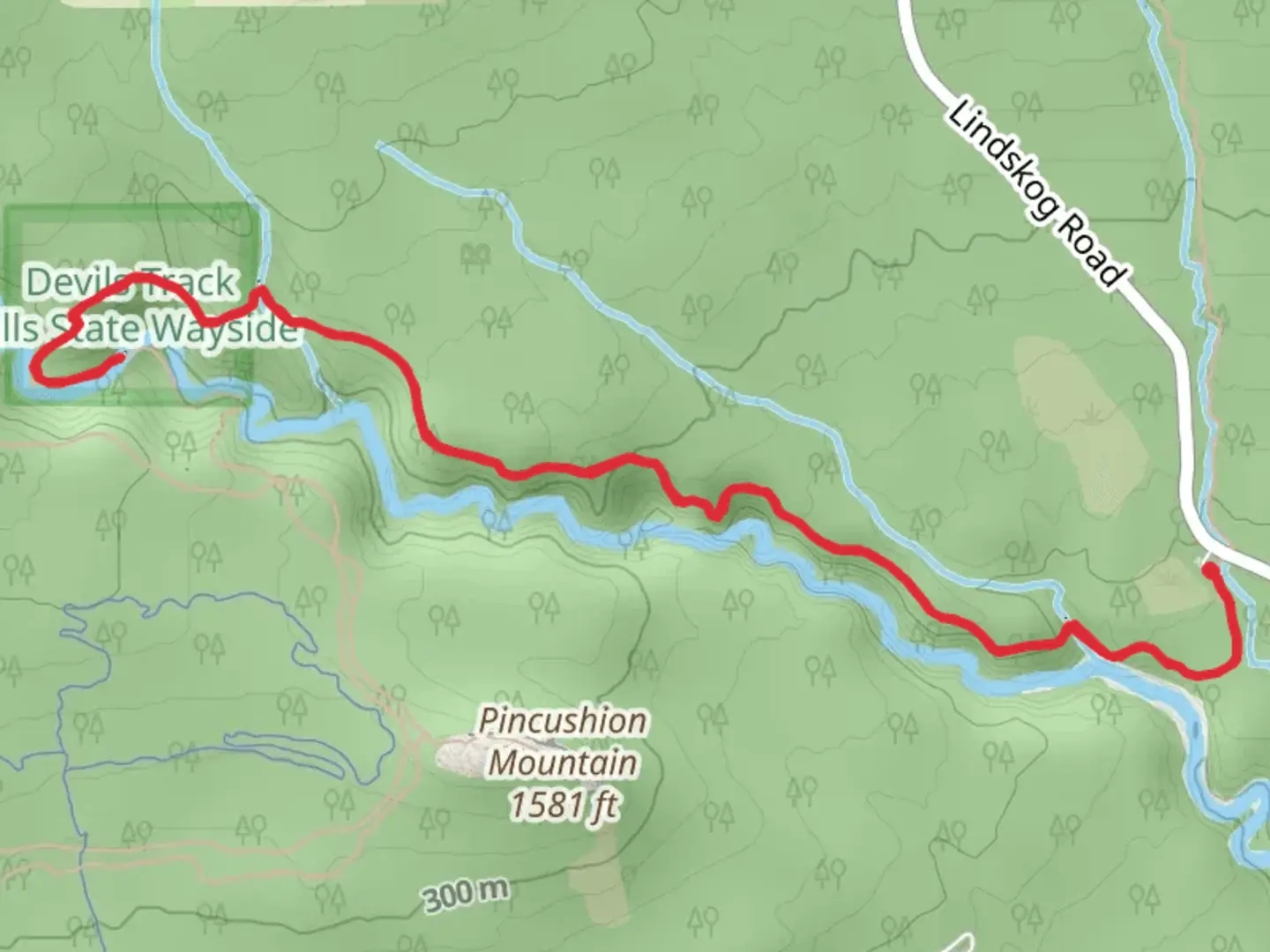
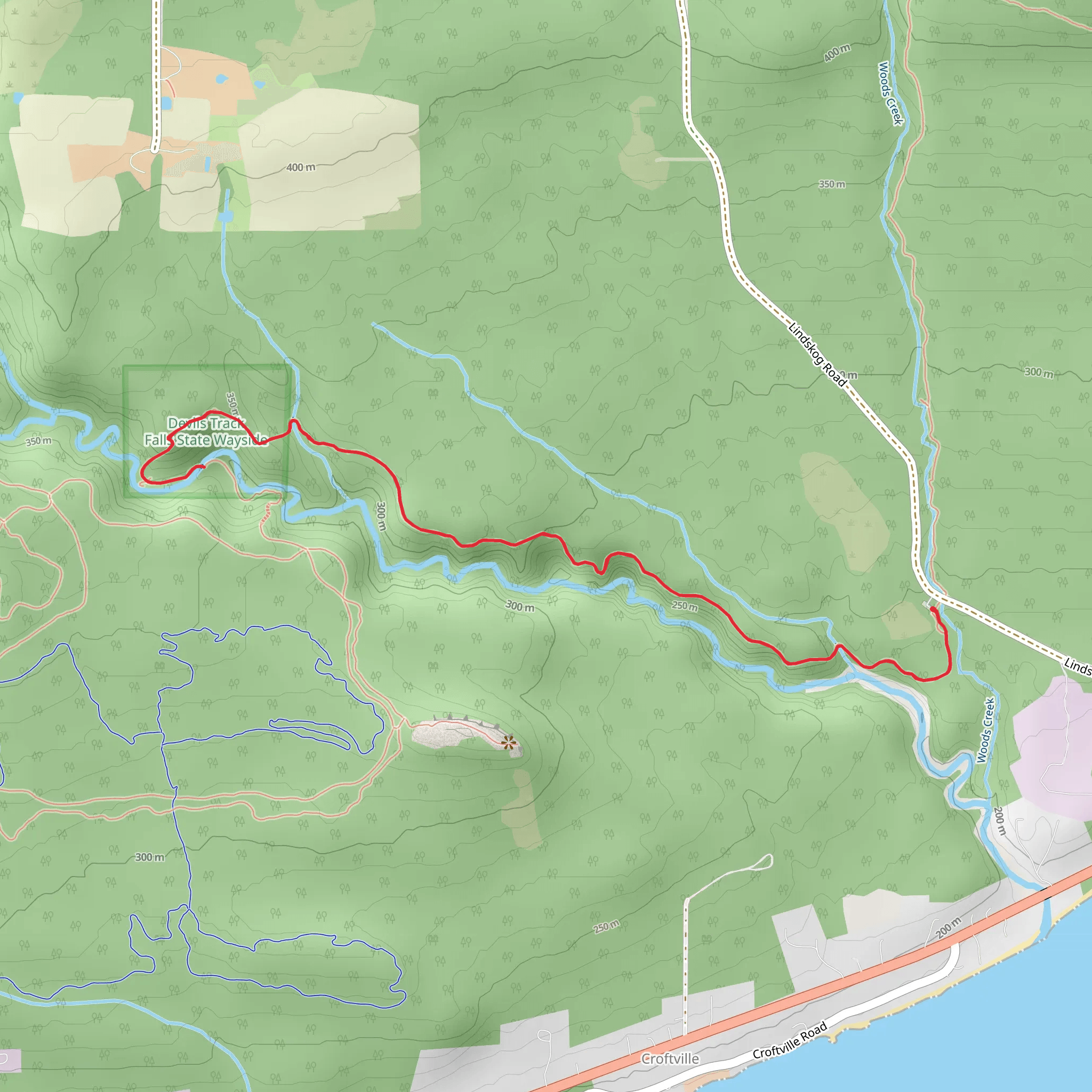
Starting near Cook County, Minnesota, the West Devil Track via Superior Hiking Trail offers a captivating 7 km (4.3 miles) out-and-back journey with an elevation gain of approximately 300 meters (984 feet). This medium-difficulty trail is perfect for those looking to experience the rugged beauty of the North Shore.
Getting There To reach the trailhead, you can drive or use public transport. If driving, head towards the nearest significant landmark, the Cook County Airport (Grand Marais/Cook County Airport), located at 123 Airport Rd, Grand Marais, MN 55604. From there, it's a short drive to the trailhead. For those using public transport, the nearest bus stop is in Grand Marais, from where you can take a taxi or rideshare to the trailhead.
Trail Navigation For navigation, it's highly recommended to use HiiKER, which provides detailed maps and real-time updates. The trail is well-marked, but having a reliable navigation tool can enhance your hiking experience.
Trail Highlights As you embark on this trail, you'll traverse through dense forests of birch, aspen, and maple, which are particularly stunning during the fall when the foliage turns vibrant shades of red, orange, and yellow. About 1.5 km (0.9 miles) into the hike, you'll encounter a small, serene creek that offers a perfect spot for a short break.
Elevation and Terrain The trail features a steady climb, with the most significant elevation gain occurring in the first 3 km (1.9 miles). The terrain is a mix of rocky paths and dirt trails, so sturdy hiking boots are recommended. The ascent can be challenging, but the panoramic views from the top are well worth the effort.
Wildlife and Flora Keep an eye out for local wildlife, including white-tailed deer, red foxes, and a variety of bird species such as the northern goshawk and the pileated woodpecker. The area is also rich in wildflowers during the spring and summer months, adding bursts of color to the lush green landscape.
Historical Significance The Superior Hiking Trail, part of which this trail covers, has historical significance as it follows ancient pathways used by Native American tribes and early European settlers. The trail offers a glimpse into the region's past, with occasional interpretive signs providing historical context.
Points of Interest Around the 4 km (2.5 miles) mark, you'll reach a scenic overlook that provides breathtaking views of the Devil Track River Valley. This spot is ideal for photography and offers a moment of tranquility amidst the hike.
Final Stretch The final stretch of the trail leads you back through the forest, descending gradually until you return to the trailhead. This section is less strenuous, allowing you to enjoy the natural beauty at a more relaxed pace.
Preparation Tips Given the trail's moderate difficulty, it's advisable to carry sufficient water, snacks, and a first-aid kit. Weather can be unpredictable, so dressing in layers and carrying rain gear is also recommended. Always check the weather forecast before heading out and inform someone of your hiking plans.
This trail offers a perfect blend of natural beauty, wildlife, and historical significance, making it a must-visit for any hiking enthusiast.
What to expect?
Activity types
Comments and Reviews
User comments, reviews and discussions about the West Devil Track via Superior Hiking Trail, Minnesota.
4.51
average rating out of 5
41 rating(s)
