Download
Preview
Add to list
More
10.4 km
~2 hrs 7 min
30 m
Loop
“The Carlos Avery Loop - South in Minnesota offers a scenic, accessible 10 km hike through diverse, wildlife-rich landscapes.”
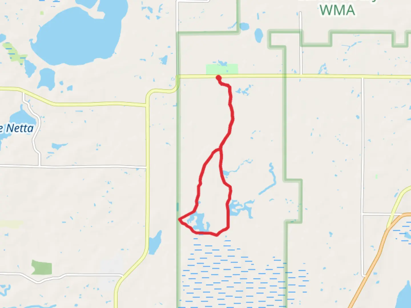
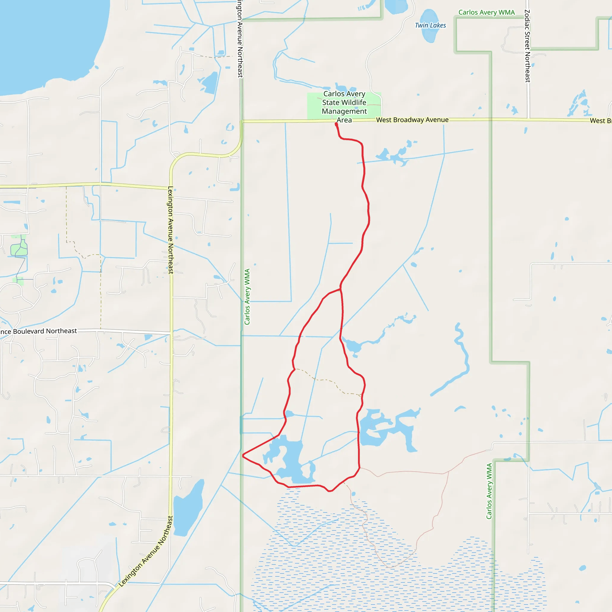
Starting near Anoka County, Minnesota, the Carlos Avery State Wildlife Management Area Loop - South is a captivating 10 km (approximately 6.2 miles) loop trail that offers a moderate challenge for hikers. With no significant elevation gain, this trail is accessible to a wide range of fitness levels, making it an excellent choice for both seasoned hikers and those looking to enjoy a leisurely walk through nature.
Getting There To reach the trailhead, you can drive or use public transportation. If driving, the nearest significant landmark is the Carlos Avery Wildlife Management Area, located near Forest Lake, Minnesota. For those using public transport, the closest major transit hub is the Anoka Station, from where you can take a local bus or taxi to the trailhead.
Trail Navigation For navigation, it's highly recommended to use the HiiKER app, which provides detailed maps and real-time updates to ensure you stay on track throughout your hike.
Trail Highlights As you embark on the loop, you'll find yourself immersed in a diverse landscape that includes wetlands, forests, and open meadows. The trail is well-marked, but it's always a good idea to keep an eye on your HiiKER app for any updates or changes in the trail conditions.
#### Wetlands and Wildlife Approximately 2 km (1.2 miles) into the hike, you'll encounter the first of several wetland areas. These wetlands are a haven for birdwatchers, offering the chance to see species such as Sandhill Cranes, Great Blue Herons, and a variety of waterfowl. Bring binoculars if you're a bird enthusiast.
#### Forested Sections Around the 5 km (3.1 miles) mark, the trail meanders through dense forested areas. These sections provide ample shade and are home to a variety of wildlife, including white-tailed deer and red foxes. The forest floor is often carpeted with wildflowers in the spring and summer, adding a splash of color to your hike.
Historical Significance The Carlos Avery State Wildlife Management Area has a rich history dating back to the early 20th century. It was established in 1933 as a game refuge and has since grown to encompass over 23,000 acres. The area was named after Carlos Avery, a prominent conservationist who played a crucial role in the development of Minnesota's wildlife management programs.
Practical Information The trail is open year-round, but the best times to visit are during the spring and fall when the weather is mild, and the foliage is at its most vibrant. There are no significant elevation changes, making it a relatively easy hike, but be prepared for potentially muddy conditions in the wetland areas, especially after heavy rains.
Restrooms and picnic areas are available near the trailhead, so you can plan a full day of activities. Make sure to carry enough water and snacks, as there are no facilities along the trail itself.
Final Stretch As you complete the loop and head back towards the trailhead, you'll pass through more open meadows. These areas are perfect for spotting butterflies and other insects, particularly in the warmer months. The final 2 km (1.2 miles) offer a gentle walk back to your starting point, allowing you to reflect on the diverse landscapes and wildlife you've encountered.
This trail offers a unique blend of natural beauty and historical significance, making it a must-visit for anyone in the Anoka County area.
What to expect?
Activity types
Comments and Reviews
User comments, reviews and discussions about the Carlos Avery State Wildlife Management Area Loop - South, Minnesota.
4.42
average rating out of 5
26 rating(s)
