Download
Preview
Add to list
More
6.3 km
~1 hrs 20 min
48 m
Loop
“Experience Michigan's diverse landscapes and history on the accessible 6 km Anderson Creek and Manistee River Loop.”
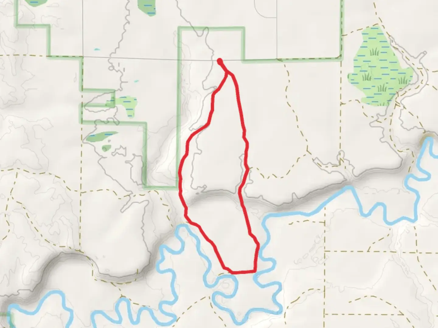
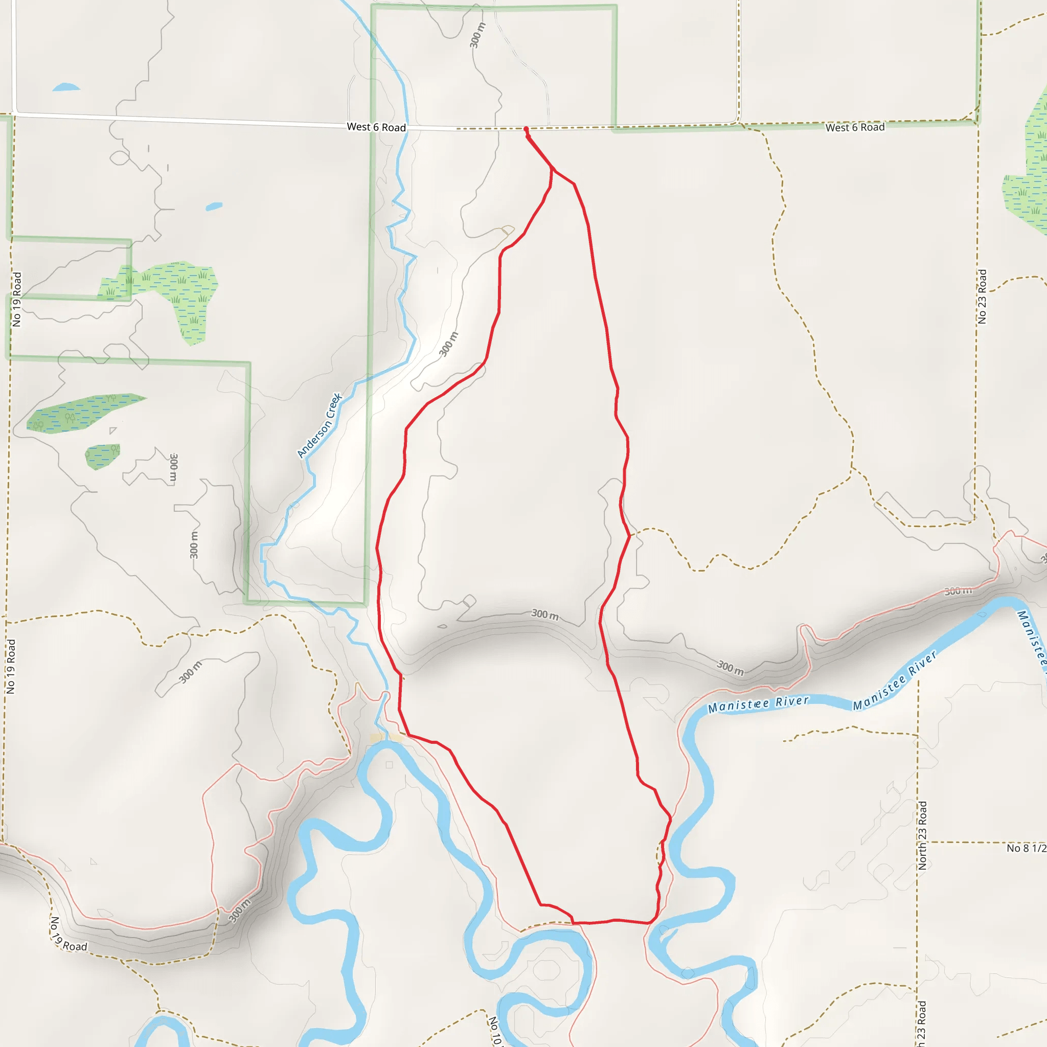
Starting your adventure near Wexford County, Michigan, the Anderson Creek and Manistee River Loop offers a delightful 6 km (approximately 3.7 miles) journey through diverse landscapes with no significant elevation gain, making it accessible for most hikers. The trailhead is conveniently located near the intersection of M-115 and M-37, close to the town of Mesick, Michigan. If you're driving, you can park at the designated trailhead parking area. For those relying on public transport, the nearest bus stop is in Mesick, from where you can arrange a taxi or rideshare to the trailhead.### Trail OverviewThe loop begins with a gentle walk through a mixed hardwood forest, where you'll be greeted by the soothing sounds of Anderson Creek. This section is relatively flat, making it an excellent warm-up for the rest of your hike. As you progress, keep an eye out for white-tailed deer and a variety of bird species, including woodpeckers and warblers.### Anderson CreekApproximately 1.5 km (0.9 miles) into the hike, you'll encounter Anderson Creek. This serene waterway is a perfect spot for a short break. The creek is home to various aquatic life, including small fish and amphibians. The surrounding area is lush with ferns and wildflowers, particularly vibrant in the spring and early summer.### Manistee RiverContinuing along the loop, you'll soon reach the Manistee River, around the 3 km (1.8 miles) mark. The river's banks are lined with towering pines and hemlocks, providing ample shade and a cool respite on warmer days. The Manistee River is a popular spot for fishing, so you might see anglers trying their luck with trout and salmon. There are several scenic viewpoints along this section where you can pause to take in the river's beauty.### Historical SignificanceThe Manistee River area has a rich history, once inhabited by the Ottawa and Chippewa tribes. The river was a crucial resource for these communities, providing food and transportation routes. In the 19th century, the region saw a boom in the logging industry, and remnants of old logging camps can still be found if you know where to look. These historical elements add an intriguing layer to your hike, offering a glimpse into the area's past.### Navigation and SafetyGiven the loop's moderate difficulty, it's essential to come prepared. While the trail is well-marked, carrying a map and compass is advisable. For digital navigation, the HiiKER app is an excellent tool, providing detailed maps and real-time location tracking. Ensure you have adequate water, snacks, and appropriate footwear, as some sections can be muddy, especially after rain.### Flora and FaunaThe trail's diverse ecosystems support a wide range of plant and animal life. In addition to the previously mentioned deer and birds, you might spot red foxes, raccoons, and even the occasional black bear. The flora varies from hardwoods like oak and maple to conifers such as pine and spruce. Seasonal wildflowers, including trilliums and lady's slippers, add splashes of color to the forest floor.### Final StretchAs you near the end of the loop, the trail meanders back towards Anderson Creek, offering a final opportunity to enjoy the tranquil waters before returning to the trailhead. This section is particularly picturesque in the fall when the foliage transforms into a vibrant tapestry of reds, oranges, and yellows.By the time you complete the Anderson Creek and Manistee River Loop, you'll have experienced a rich tapestry of Michigan's natural beauty and historical significance, all within a manageable 6 km (3.7 miles) hike.
What to expect?
Activity types
Comments and Reviews
User comments, reviews and discussions about the Anderson Creek and Manistee River Loop, Michigan.
4.41
average rating out of 5
17 rating(s)
