Download
Preview
Add to list
More
9.8 km
~2 hrs 4 min
76 m
Loop
“Explore the scenic, history-rich 10 km Ocqueoc Falls Loop, perfect for hikers of moderate fitness.”
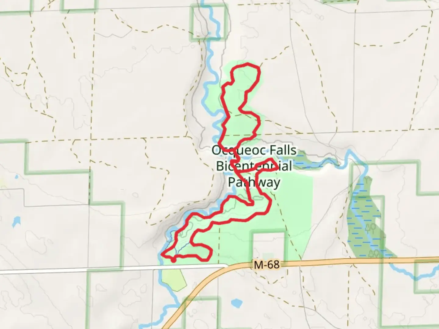
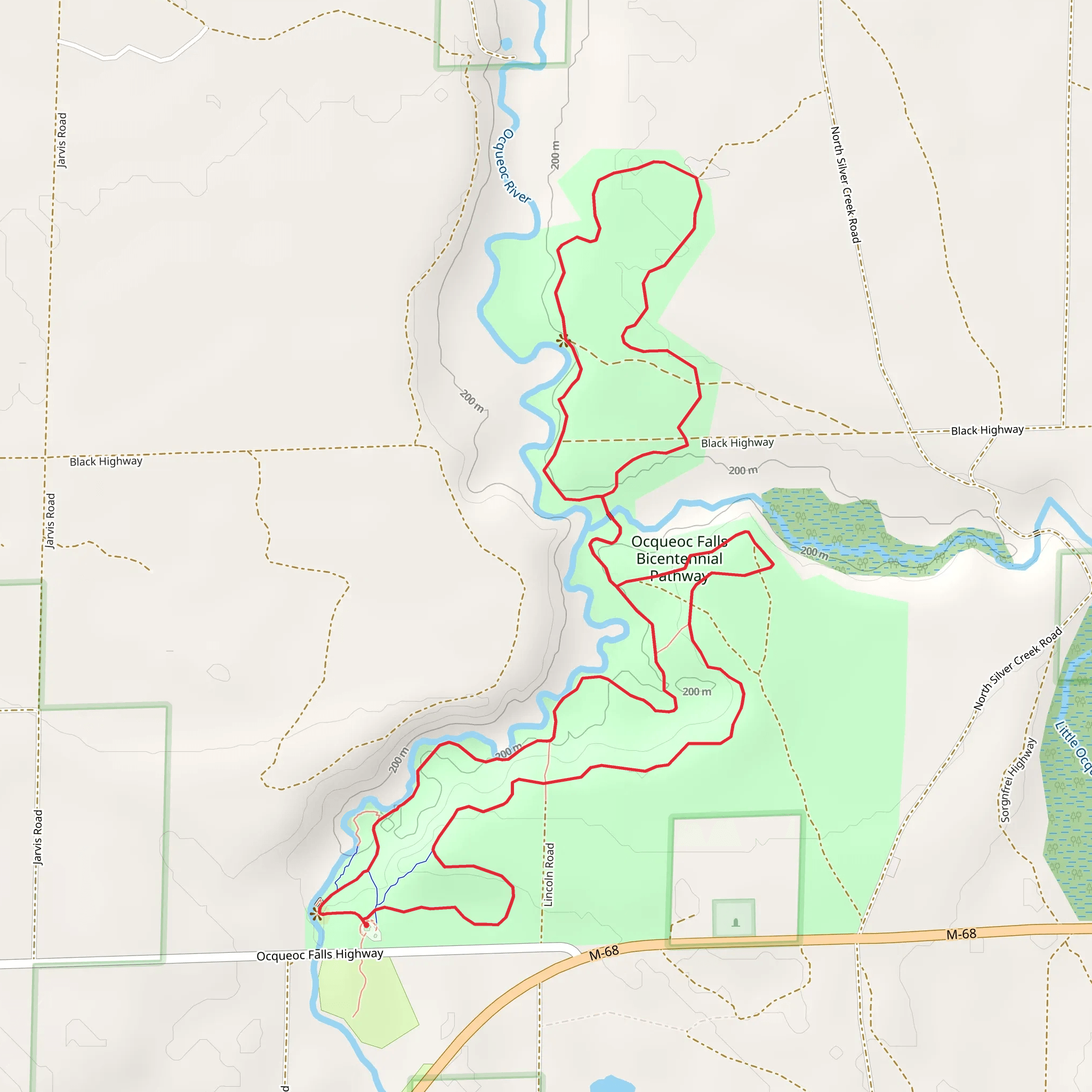
Starting near Presque Isle County, Michigan, the Ocqueoc Falls Bicentennial Pathway Loop is a delightful 10 km (6.2 miles) loop trail with virtually no elevation gain, making it accessible for a wide range of hikers. The trailhead is conveniently located near the Ocqueoc Falls Scenic Site, which is easily accessible by car. If you're using public transport, the nearest significant town is Rogers City, from where you can take a taxi or rideshare service to the trailhead.
Trail Overview
The trail begins at the Ocqueoc Falls Scenic Site, the only recognized waterfall in Michigan's Lower Peninsula. This is a great spot to start your hike, as the falls are a beautiful sight and a popular spot for photos. The trail meanders through a mixed forest of hardwoods and pines, providing ample shade and a serene atmosphere. The path is well-marked and maintained, making navigation straightforward. For those who prefer digital navigation, the HiiKER app is an excellent tool to use.
Flora and Fauna
As you hike, you'll encounter a variety of plant species, including maple, oak, and pine trees. The underbrush is rich with ferns, wildflowers, and berry bushes, particularly in the spring and summer months. Wildlife is abundant; keep an eye out for white-tailed deer, wild turkeys, and a variety of songbirds. The area is also home to smaller mammals like squirrels and chipmunks, which are often seen darting across the trail.
Significant Landmarks
Approximately 3 km (1.9 miles) into the hike, you'll come across a picturesque wooden bridge that spans the Ocqueoc River. This is a great spot to take a break and enjoy the tranquil sounds of the flowing water. Continuing on, around the 5 km (3.1 miles) mark, you'll find a small clearing with a bench, offering a perfect spot for a picnic or a rest.
Historical Significance
The region around Ocqueoc Falls has a rich history. The name "Ocqueoc" is derived from a Native American word meaning "crooked waters," a reference to the winding nature of the Ocqueoc River. The area was historically inhabited by the Anishinaabe people, and you may come across informational plaques along the trail that provide insights into their way of life and the natural history of the region.
Trail Navigation and Safety
The trail is well-marked with blue blazes, and there are several informational signs along the way. However, it's always a good idea to have a map or use the HiiKER app for real-time navigation. The trail is rated as medium difficulty, primarily due to its length rather than any challenging terrain. There are no significant elevation changes, making it suitable for families and hikers of moderate fitness levels.
Getting There
If you're driving, the trailhead is located off Ocqueoc Falls Highway, near the Ocqueoc Falls Scenic Site. There is ample parking available. For those relying on public transport, the nearest significant town is Rogers City. From there, you can take a taxi or rideshare service to the trailhead, which is approximately a 20-minute drive.
This trail offers a wonderful mix of natural beauty, historical significance, and accessible hiking, making it a must-visit for anyone in the area.
What to expect?
Activity types
Comments and Reviews
User comments, reviews and discussions about the Ocqueoc Falls Bicentennial Pathway Loop, Michigan.
4.52
average rating out of 5
23 rating(s)
