Download
Preview
Add to list
More
2.9 km
~45 min
110 m
Loop
“The Holland State Park Loop offers stunning views, historical landmarks, and a moderately challenging hike through diverse landscapes.”
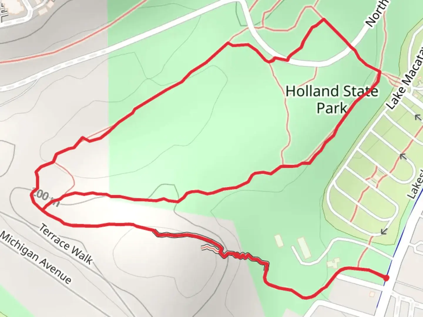
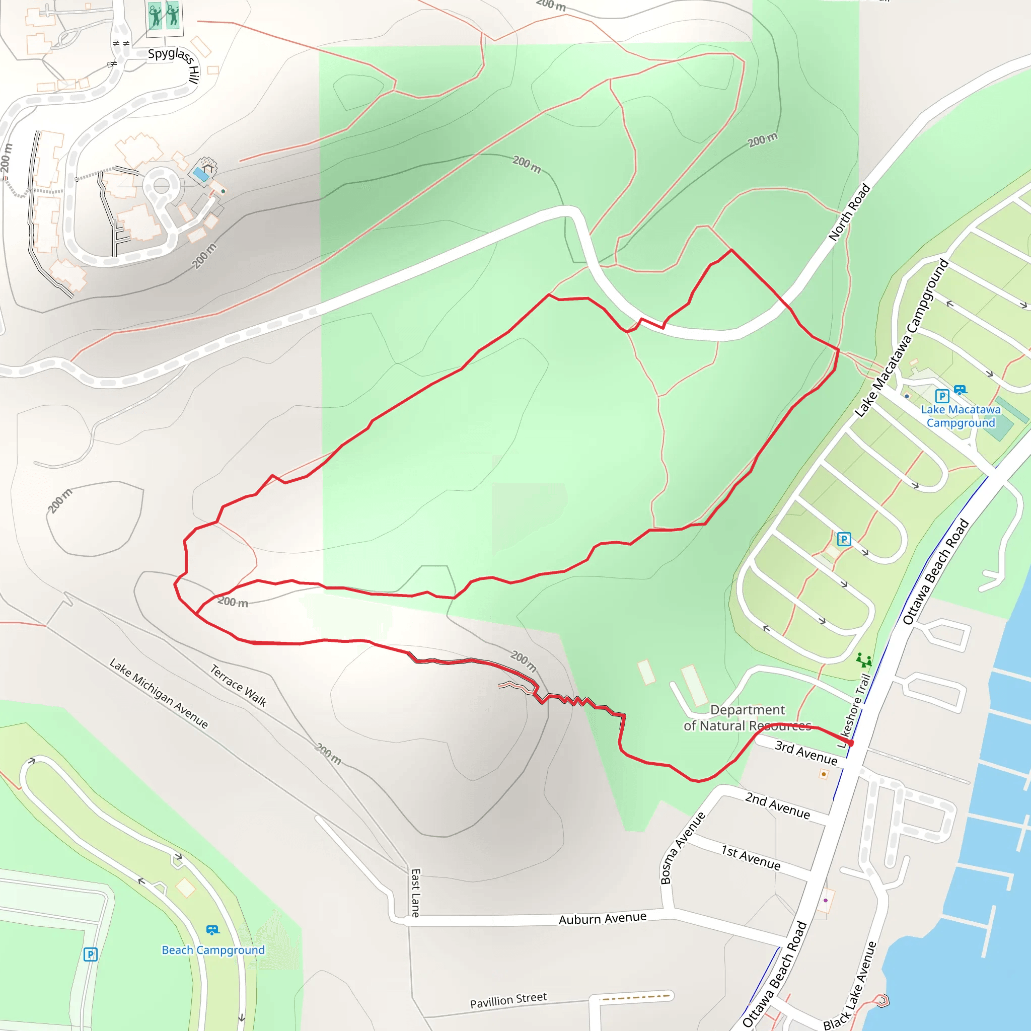
Starting near Ottawa County, Michigan, the Holland State Park Loop is a delightful 3 km (1.86 miles) trail with an elevation gain of around 100 meters (328 feet). This loop trail is estimated to be of medium difficulty, making it suitable for moderately experienced hikers.
Getting There To reach the trailhead, you can drive to Holland State Park, located at 2215 Ottawa Beach Rd, Holland, MI 49424. If you're using public transport, the nearest bus stop is at Ottawa Beach Rd & 160th Ave, serviced by the MAX Transit system. From there, it's a short walk to the park entrance.
Trail Overview The trail begins near the main parking area of Holland State Park. As you start your hike, you'll be greeted by a well-marked path that meanders through a mix of forested areas and open spaces. The initial section is relatively flat, allowing you to ease into the hike.
Significant Landmarks and Nature About 0.5 km (0.31 miles) into the hike, you'll come across the first significant landmark: the Big Red Lighthouse. This iconic structure, officially known as the Holland Harbor Lighthouse, is a must-see and offers a picturesque view of Lake Michigan. The lighthouse has historical significance, dating back to 1872, and serves as a reminder of the area's rich maritime history.
Continuing along the trail, you'll enter a dense forested area around the 1 km (0.62 miles) mark. Here, the elevation begins to increase gradually. Keep an eye out for local wildlife such as white-tailed deer, red foxes, and a variety of bird species including the American goldfinch and the red-tailed hawk.
Elevation Gain and Scenic Views As you approach the 1.5 km (0.93 miles) point, the trail becomes steeper, gaining most of its 100 meters (328 feet) in elevation. This section can be a bit challenging, but the effort is well worth it. At the top, you'll be rewarded with stunning panoramic views of Lake Michigan and the surrounding dunes.
Navigation and Safety The trail is well-marked, but it's always a good idea to have a reliable navigation tool. The HiiKER app is highly recommended for this purpose, offering detailed maps and real-time updates. Make sure to stay on the designated path to protect the local flora and fauna.
Final Stretch The descent begins around the 2.5 km (1.55 miles) mark, leading you back through a series of gentle slopes and flat sections. As you near the end of the loop, you'll pass by the park's picnic area, a perfect spot to rest and enjoy a meal before concluding your hike.
Historical Significance Holland State Park itself has a rich history, established in 1926. The park was developed during the Great Depression as part of the Civilian Conservation Corps (CCC) projects, which aimed to provide jobs and improve public lands. The park's development is a testament to the resilience and ingenuity of the era.
This trail offers a balanced mix of natural beauty, historical landmarks, and moderate physical challenge, making it a rewarding experience for any hiker.
What to expect?
Activity types
Comments and Reviews
User comments, reviews and discussions about the Holland State Park Loop, Michigan.
4.35
average rating out of 5
23 rating(s)
