Download
Preview
Add to list
More
117.9 km
~6 days
956 m
Multi-Day
“Embark on Michigan's scenic High Country Pathway for a historic, wildlife-rich trek through diverse landscapes.”
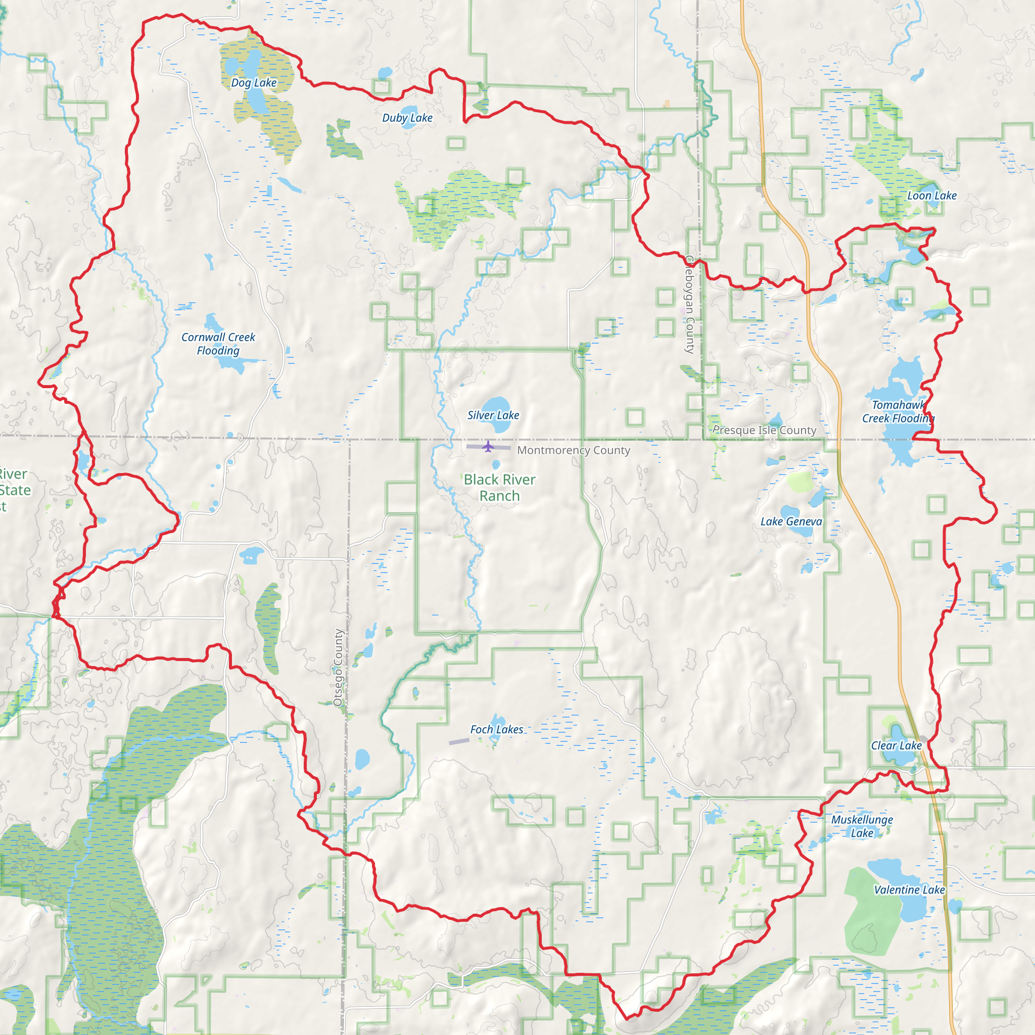
The High Country Pathway winds through the lush forests of Northern Michigan, offering a diverse and immersive backcountry experience. Spanning approximately 118 kilometers (73 miles), with an elevation gain of around 900 meters (2950 feet), this loop trail is a medium-difficulty trek that appeals to both seasoned hikers and those looking to challenge themselves over a multi-day hike.
Getting to the Trailhead
To reach the trailhead near Otsego County, Michigan, hikers can drive to the parking area located off of Tin Shanty Road, which is accessible via I-75 and M-32. For those relying on public transportation, options are limited, but regional bus services may offer routes that get you close to the area, where you might then need to arrange a taxi or rideshare to the trailhead.
Navigating the Trail
Hikers can rely on the HiiKER app for detailed maps and navigation assistance throughout the High Country Pathway. The trail is well-marked with blue blazes, but having a digital tool can be invaluable, especially at trail intersections or during challenging weather conditions.
Landmarks and Scenery
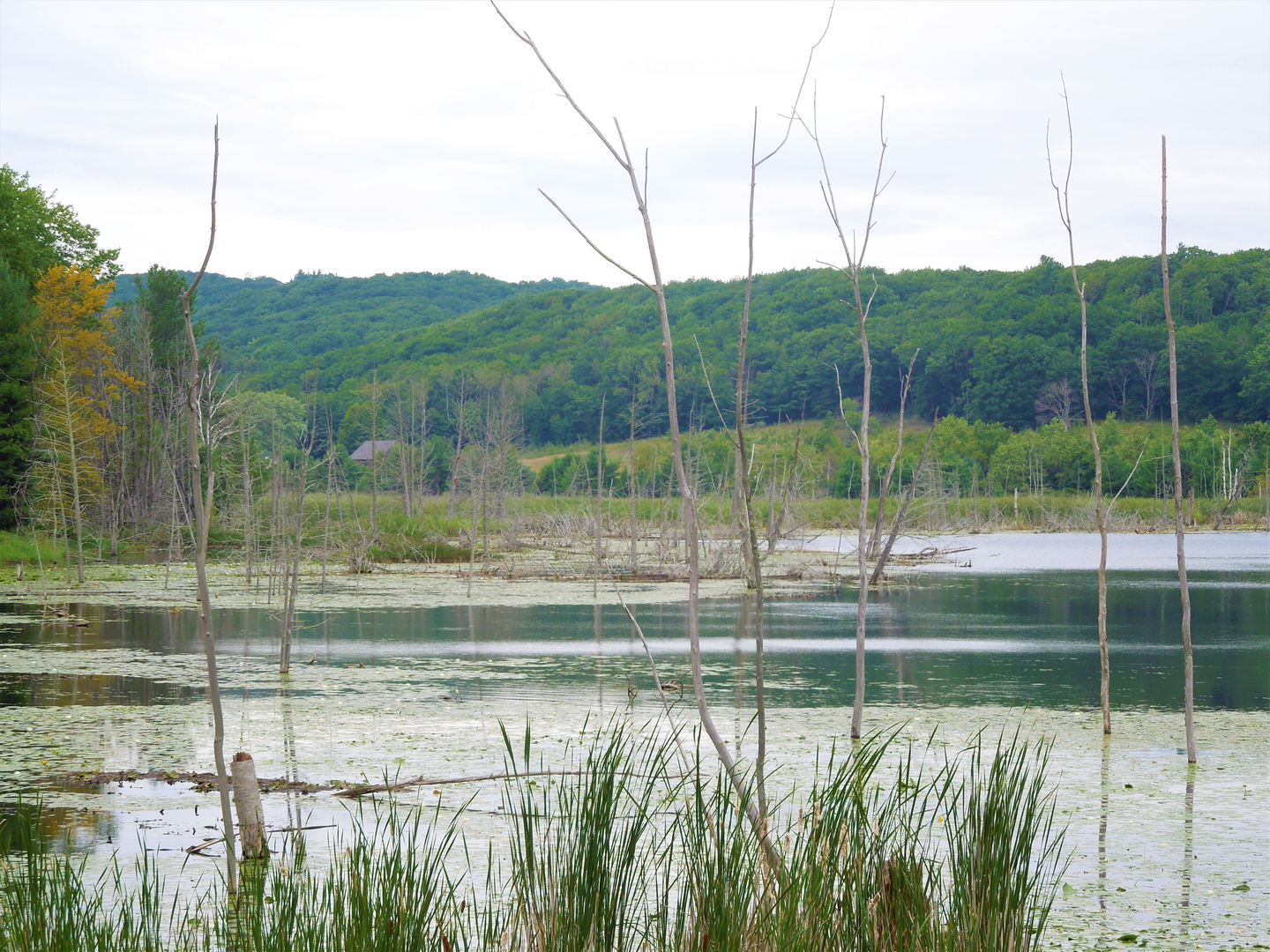
As you embark on the High Country Pathway, you'll traverse a variety of landscapes, including hardwood forests, cedar swamps, and rolling hills. The trail offers a chance to witness the beauty of Michigan's natural habitats and the wildlife that resides within them. Keep an eye out for white-tailed deer, beavers, and a plethora of bird species.
Historical Significance
The region is steeped in history, with the trail itself crossing lands that were once the domain of Native American tribes. Logging was a significant industry in this area, and as you hike, you may come across old logging roads and remnants of Michigan's lumbering past.
Wildlife and Nature
The High Country Pathway is a haven for nature enthusiasts. The trail passes through the Pigeon River Country State Forest, which is known for its elk population. The best times for elk viewing are during the early morning or late evening hours, particularly in the fall during the rutting season.
Trail Sections and Elevation
The trail's elevation gain is gradual, with the highest points offering panoramic views of the surrounding forest canopy. The pathway is divided into sections, each with its own character and challenges. For example, the section between Shoepac Lake and the Pigeon Bridge Campground includes a mix of moderate climbs and descents over approximately 30 kilometers (18.6 miles).
Camping and Rest Areas
There are several designated camping spots along the High Country Pathway, allowing hikers to rest and recharge. It's important to plan your stops in advance and be aware that some areas may require a permit. Always practice Leave No Trace principles to preserve the trail's natural beauty for future visitors.
Seasonal Considerations
The best times to hike the High Country Pathway are from late spring to early fall when the weather is more predictable, and the trail is less likely to be covered in snow. However, the trail can be hiked year-round by those prepared for Michigan's varying weather conditions, including potentially heavy snowfall in winter.
Preparation and Safety
Before setting out, ensure you have all the necessary gear, including a reliable water filtration system, as natural water sources along the trail may require treatment. It's also wise to inform someone of your hiking plan and expected return, as cell service can be spotty in remote areas.
By preparing adequately and respecting the natural environment, hikers can look forward to an enriching experience on the High Country Pathway, surrounded by the serene beauty of Michigan's wilderness.
What to expect?
Activity types
Comments and Reviews
User comments, reviews and discussions about the High Country Pathway, Michigan.
4.64
average rating out of 5
11 rating(s)

