Download
Preview
Add to list
More
31.8 km
~1 day 2 hrs
548 m
Out and Back
“The Dragon Trail offers a rewarding 32 km hike through Michigan's scenic Manistee National Forest, rich in history and natural beauty.”
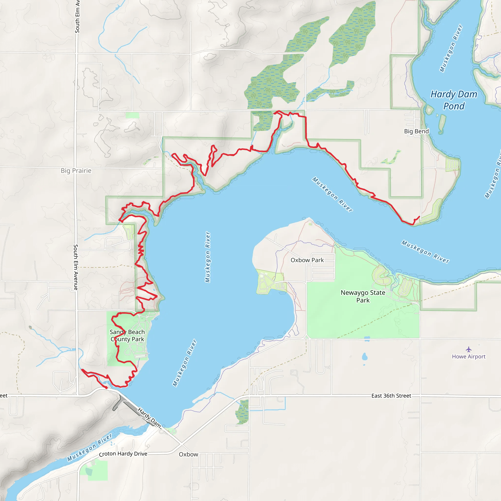
Starting near Newaygo County, Michigan, the Dragon Trail is an approximately 32 km (20 miles) out-and-back trail with an elevation gain of around 500 meters (1,640 feet). This trail is rated as medium difficulty, making it suitable for moderately experienced hikers looking for a rewarding challenge.
Getting There To reach the trailhead, you can drive or use public transportation. If driving, head towards Hardy Dam County Park, located at 4354 W 48th St, Newaygo, MI 49337. This is the nearest significant landmark to the trailhead. For those using public transport, the nearest bus station is in Newaygo, from where you can take a taxi or rideshare service to the park.
Trail Overview The Dragon Trail meanders through the scenic Manistee National Forest, offering a diverse landscape of dense woodlands, serene lakes, and rolling hills. The trail is well-marked, but it's advisable to use the HiiKER app for navigation to ensure you stay on course.
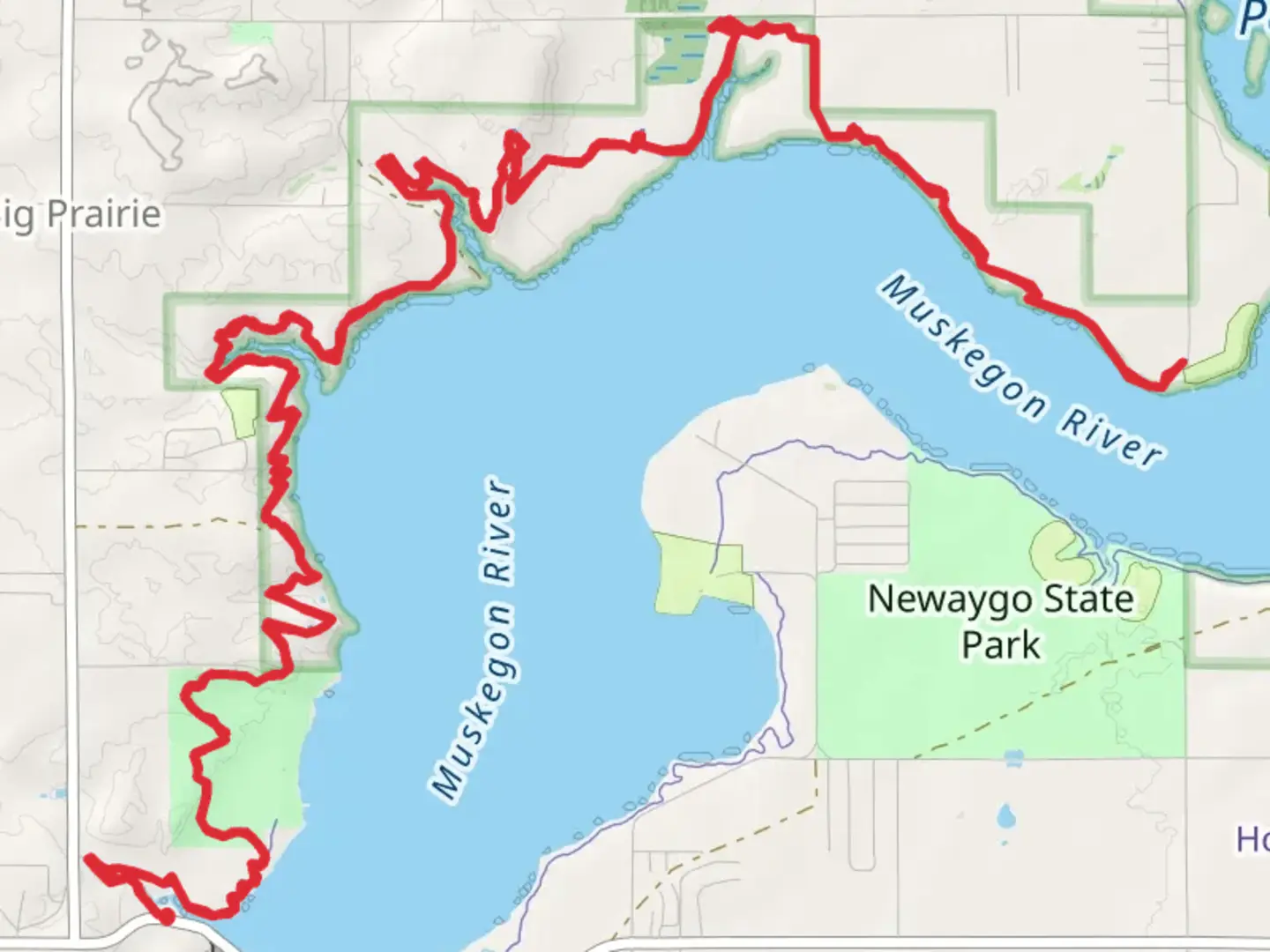
Key Landmarks and Sections - **Hardy Dam**: At the beginning of your hike, you'll pass near the Hardy Dam, a significant historical structure built in the 1930s. This dam is one of the largest earthen dams in the world and offers picturesque views of the Muskegon River. - **Muskegon River**: Around 5 km (3 miles) into the hike, you'll encounter the Muskegon River. This section is particularly beautiful in the fall when the foliage turns vibrant shades of red and orange. - **Big Bend**: Approximately 10 km (6 miles) in, you'll reach Big Bend, a notable curve in the trail offering panoramic views of the surrounding forest and river. This is a great spot for a rest and some photography. - **Highbanks Lake**: At the 16 km (10 miles) mark, you'll find Highbanks Lake. This serene lake is an excellent spot for a lunch break and some bird-watching. Keep an eye out for bald eagles and ospreys that frequent the area.
Flora and Fauna The trail is rich in biodiversity. You'll walk through forests dominated by oak, maple, and pine trees. In the spring and summer, wildflowers such as trilliums and lady's slippers bloom along the path. Wildlife is abundant; you might spot white-tailed deer, red foxes, and a variety of bird species. Be cautious of ticks and mosquitoes, especially in the warmer months.
Elevation and Terrain The trail features a mix of flat sections and rolling hills, with the most significant elevation gain occurring in the first half of the hike. The terrain can be rocky and uneven in places, so sturdy hiking boots are recommended. The highest point of the trail offers a stunning overlook of the forest canopy and is located around 12 km (7.5 miles) from the trailhead.
Preparation and Safety Given the medium difficulty rating, it's essential to be well-prepared. Carry sufficient water, snacks, and a first-aid kit. Weather can be unpredictable, so pack layers and rain gear. Cell service can be spotty, making the HiiKER app invaluable for navigation and emergency information.
Historical Significance The area around the Dragon Trail has a rich history. The Manistee National Forest was established in the early 20th century to restore lands that had been heavily logged. The Hardy Dam itself is a testament to early 20th-century engineering and has played a crucial role in flood control and hydroelectric power generation for the region.
Embarking on the Dragon Trail offers not just a physical challenge but also a journey through a landscape steeped in natural beauty and historical significance.
What to expect?
Activity types
Comments and Reviews
User comments, reviews and discussions about the The Dragon Trail, Michigan.
4.57
average rating out of 5
30 rating(s)
