Download
Preview
Add to list
More
14.0 km
~3 hrs 10 min
226 m
Loop
“Embark on a 14 km scenic adventure through diverse landscapes and historical landmarks at Ionia State Recreation Area.”
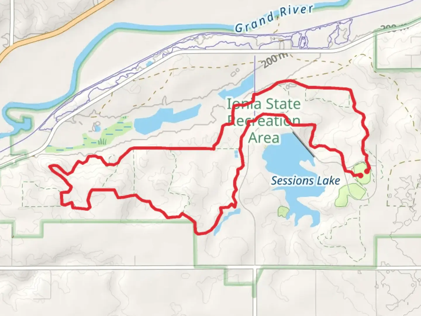
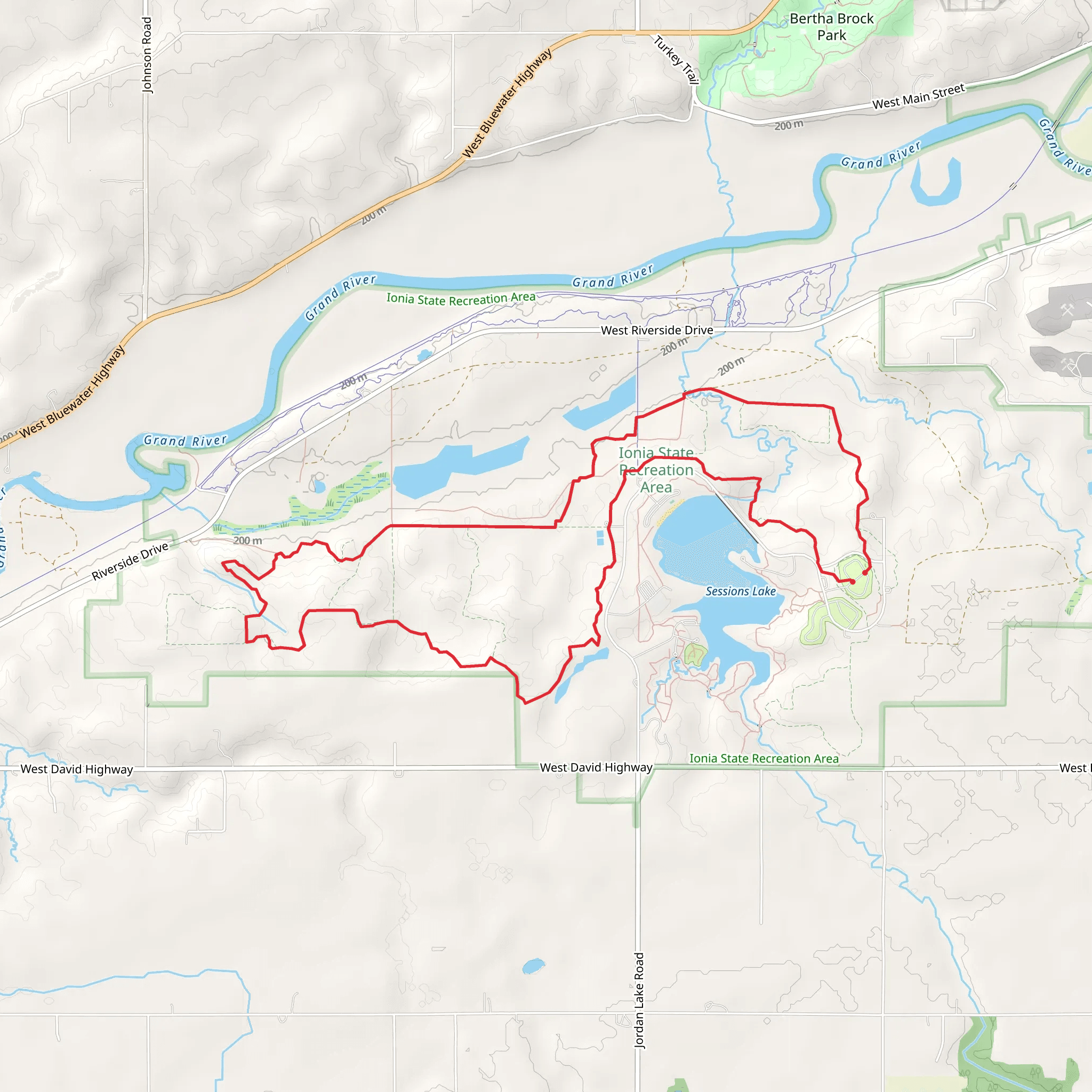
Starting your adventure at the trailhead near Ionia County, Michigan, the Ionia State Recreation Area Loop offers a delightful 14 km (approximately 8.7 miles) journey through diverse landscapes. With an elevation gain of around 200 meters (656 feet), this loop trail is rated as medium difficulty, making it suitable for moderately experienced hikers.
Getting There To reach the trailhead, you can drive to the Ionia State Recreation Area, located at 2880 W David Hwy, Ionia, MI 48846. If you're using public transport, the nearest major city is Grand Rapids, Michigan. From Grand Rapids, you can take a bus to Ionia and then a taxi or rideshare service to the recreation area.
Trail Overview The loop begins with a gentle ascent, allowing you to ease into the hike. The initial section meanders through dense woodlands, where you can expect to see a variety of native trees such as oak, maple, and pine. Keep an eye out for local wildlife, including white-tailed deer, wild turkeys, and a plethora of bird species.
Key Landmarks and Sections #### Woodland Stretch At around the 3 km (1.9 miles) mark, the trail takes you deeper into the forest. This section is particularly beautiful in the fall when the foliage turns vibrant shades of red, orange, and yellow. The terrain here is relatively flat, making it a good spot to catch your breath and enjoy the scenery.
#### Prairie and Wetlands Around the 6 km (3.7 miles) point, the trail transitions into open prairie and wetland areas. This part of the hike offers a stark contrast to the dense woodlands, with wide-open spaces and a different set of flora and fauna. Look for wildflowers in the spring and summer, and be cautious of wet, muddy patches after rainfall.
#### Historical Significance As you approach the 9 km (5.6 miles) mark, you'll come across remnants of old farmsteads and stone fences, hinting at the area's agricultural past. This region was historically significant for early settlers in Michigan, and these landmarks offer a glimpse into the lives of those who once worked the land.
Final Stretch The last 5 km (3.1 miles) of the loop bring you back into the forest, with a few moderate climbs and descents. This section can be a bit more challenging, especially if the trail is muddy or covered in leaves. Use HiiKER to navigate this part of the trail accurately, as it can be easy to lose your way among the dense trees.
Wildlife and Nature Throughout the hike, you'll have ample opportunities to observe local wildlife. Early morning or late afternoon hikes increase your chances of spotting deer and other animals. Birdwatchers will appreciate the variety of species, including woodpeckers, hawks, and songbirds.
Preparation Tips Given the medium difficulty rating, it's advisable to wear sturdy hiking boots and bring plenty of water and snacks. The trail can be muddy in places, so waterproof gear is recommended, especially after rain. Always check the weather forecast before heading out and use HiiKER for real-time trail updates and navigation.
This loop trail offers a well-rounded hiking experience with its mix of woodlands, prairies, and historical landmarks, making it a rewarding adventure for those prepared to tackle its moderate challenges.
What to expect?
Activity types
Comments and Reviews
User comments, reviews and discussions about the Ionia State Recreation Area Loop, Michigan.
4.3
average rating out of 5
27 rating(s)
