Download
Preview
Add to list
More
11.1 km
~2 hrs 21 min
87 m
Loop
“Explore the Chief Cob Moo Sa Loop Trail's diverse landscapes and rich history on an accessible 11 km journey.”
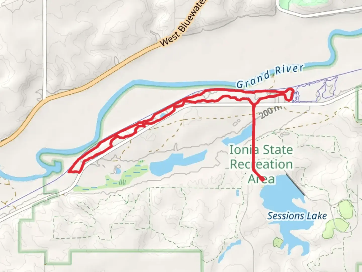
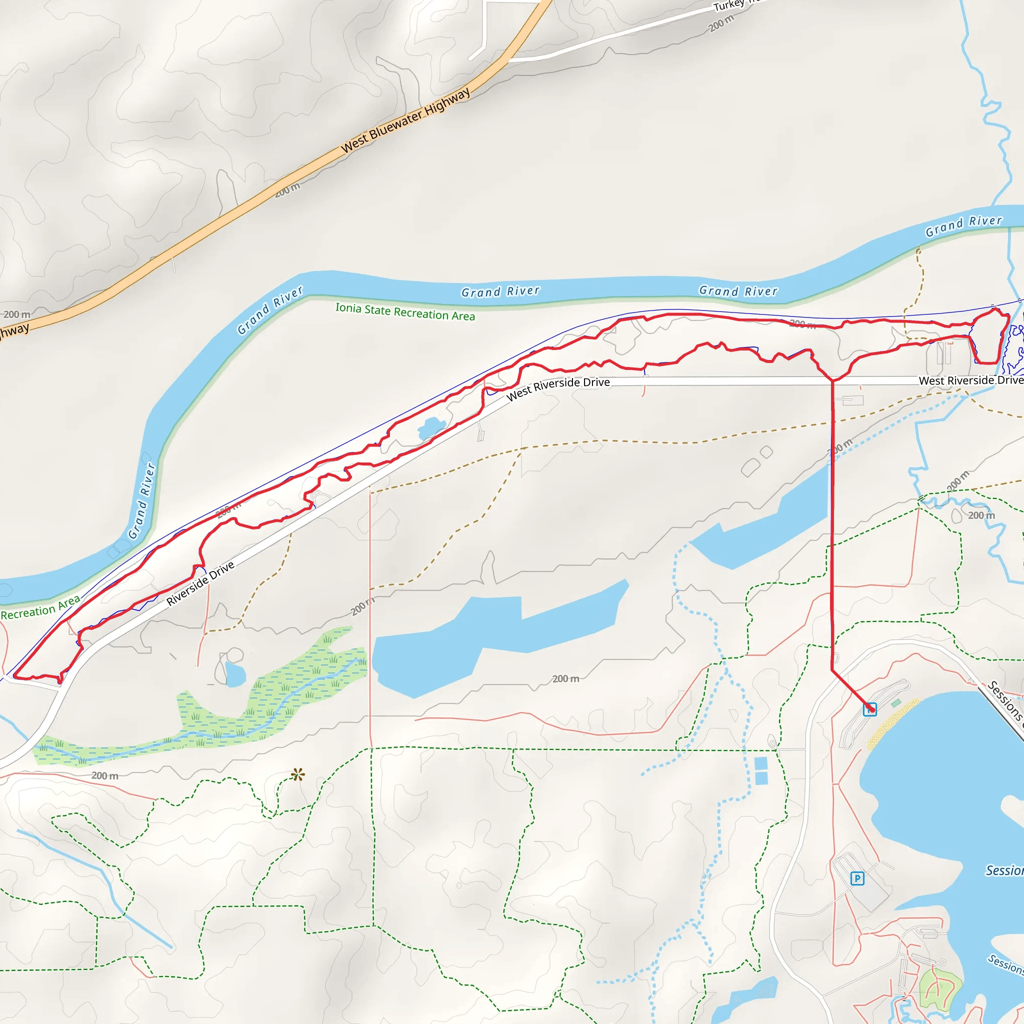
Starting near Ionia County, Michigan, the Chief Cob Moo Sa Loop Trail offers an 11 km (approximately 6.8 miles) journey through diverse landscapes with no significant elevation gain, making it accessible for hikers of varying skill levels. The trailhead is conveniently located near the Ionia State Recreation Area, which can be accessed by car. For those relying on public transport, the nearest major city is Grand Rapids, Michigan, from where you can take a bus to Ionia and then a short taxi ride to the trailhead.
Trail Overview
The Chief Cob Moo Sa Loop Trail is a loop trail, meaning you'll start and end at the same point, making logistics simpler. The trail is rated as medium difficulty, primarily due to its length rather than challenging terrain. The path is well-marked, but it's always a good idea to have a reliable navigation tool like HiiKER to ensure you stay on track.
Natural Features and Wildlife
As you embark on this trail, you'll traverse through a variety of ecosystems, including dense woodlands, open meadows, and serene wetlands. The trail is particularly beautiful in the fall when the foliage turns vibrant shades of red, orange, and yellow. Keep an eye out for local wildlife such as white-tailed deer, wild turkeys, and a variety of songbirds. The wetlands are home to frogs, turtles, and occasionally, beavers.
Significant Landmarks
Around the 3 km (1.9 miles) mark, you'll come across a picturesque pond, a perfect spot for a short break and some birdwatching. Continuing on, at approximately 6 km (3.7 miles), you'll find a small wooden bridge crossing a creek, offering a charming photo opportunity. The trail also passes by several historical markers that provide insight into the region's past, including its significance to the Native American tribes who originally inhabited the area.
Historical Significance
The Ionia County area has a rich history, with evidence of Native American settlements dating back thousands of years. The trail itself is named in honor of Chief Cob Moo Sa, a respected leader of the local tribes. As you hike, you'll encounter informational plaques that detail the history and culture of these indigenous peoples, offering a deeper understanding of the land you're traversing.
Getting There
To reach the trailhead by car, head towards the Ionia State Recreation Area, located off M-66 Highway. There is ample parking available at the recreation area. If you're using public transport, take a bus from Grand Rapids to Ionia, then a taxi or rideshare service to the trailhead. The nearest significant landmark for navigation purposes is the Ionia State Recreation Area Visitor Center.
Preparation Tips
Given the trail's moderate length, it's advisable to bring sufficient water and snacks. Wear comfortable hiking shoes, as the terrain can be uneven in places. The trail is well-maintained, but it's always good practice to carry a basic first aid kit and a map or navigation tool like HiiKER. Weather can be unpredictable, so check the forecast and dress in layers to stay comfortable throughout your hike.
Enjoy your adventure on the Chief Cob Moo Sa Loop Trail, where natural beauty and historical richness combine to offer a memorable hiking experience.
What to expect?
Activity types
Comments and Reviews
User comments, reviews and discussions about the Chief Cob Moo Sa Loop Trail, Michigan.
4.42
average rating out of 5
24 rating(s)
