Download
Preview
Add to list
More
3.5 km
~42 min
10 m
Out and Back
“Explore the scenic, wildlife-rich Flint River Trail, offering an accessible 3 km hike with historical landmarks.”
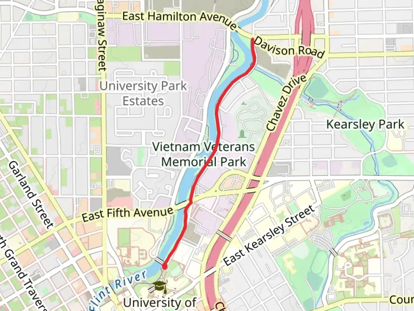
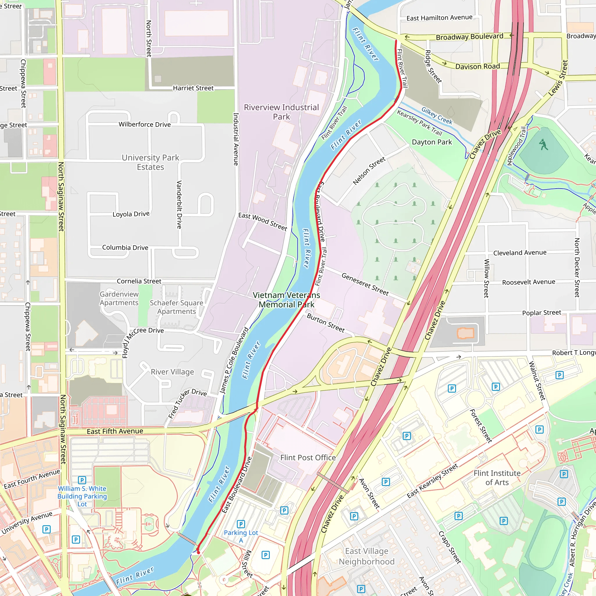
Starting near Genesee County, Michigan, the Flint River Trail Out and Back offers a delightful 3 km (approximately 1.86 miles) journey with no significant elevation gain, making it accessible for hikers of varying skill levels. This trail is classified as medium difficulty, primarily due to its length and terrain.### Getting There To reach the trailhead, you can drive or use public transport. If driving, set your GPS to the nearest known address: 1280 N Bray Rd, Flint, MI 48505. For those using public transport, the Flint Mass Transportation Authority (MTA) provides bus services that can get you close to the trailhead. Check the MTA schedule for the nearest stop to Bray Road.### Trail Navigation For navigation, HiiKER is an excellent tool to use. It provides detailed maps and real-time updates to ensure you stay on track.### Trail Highlights As you embark on the Flint River Trail, you'll be greeted by the serene beauty of the Flint River, which runs parallel to the trail for most of the hike. The river is a significant natural landmark, offering picturesque views and opportunities for wildlife spotting. Keep an eye out for local fauna such as deer, raccoons, and a variety of bird species, including herons and kingfishers.### Historical Significance The Flint River has a rich history, playing a crucial role in the development of the region. The river was historically significant for the Native American tribes who inhabited the area, and later, it became a vital resource during the industrial growth of Flint. As you hike, you might notice remnants of old mills and industrial structures, which serve as a reminder of the area's past.### Points of Interest - Flint River: Approximately 0.5 km (0.31 miles) into the hike, you'll find a scenic spot perfect for a short break or a photo opportunity. - Wildlife Viewing Areas: Around the 1 km (0.62 miles) mark, there are designated areas where you can pause and observe the local wildlife. - Historical Markers: At about 1.5 km (0.93 miles), you'll encounter markers that provide information about the historical significance of the Flint River and its impact on the local community.### Trail Conditions The trail is well-maintained, with a mix of dirt and gravel paths. While there is no significant elevation gain, the terrain can be uneven in places, so sturdy hiking boots are recommended. The trail is also shaded in many sections, providing a comfortable hiking experience even on warmer days.### Safety and Preparation Given the medium difficulty rating, it's advisable to bring plenty of water, especially during the summer months. Insect repellent is also recommended due to the proximity to the river. Always check the weather forecast before heading out and let someone know your hiking plans.### Return Journey Since this is an out-and-back trail, you'll retrace your steps to return to the trailhead. This provides an excellent opportunity to enjoy the scenery from a different perspective and perhaps catch any wildlife or landmarks you might have missed on the way out.By following these guidelines and using HiiKER for navigation, you'll be well-prepared to enjoy the Flint River Trail Out and Back, a hike that offers both natural beauty and a touch of historical intrigue.
What to expect?
Activity types
Comments and Reviews
User comments, reviews and discussions about the Flint River Trail Out and Back, Michigan.
4.65
average rating out of 5
20 rating(s)
