Download
Preview
Add to list
More
48.6 km
~3 days
7 m
Multi-Day
“The Pere Marquette Trail merges Michigan's rich history and natural beauty into a scenic 30-mile adventure.”
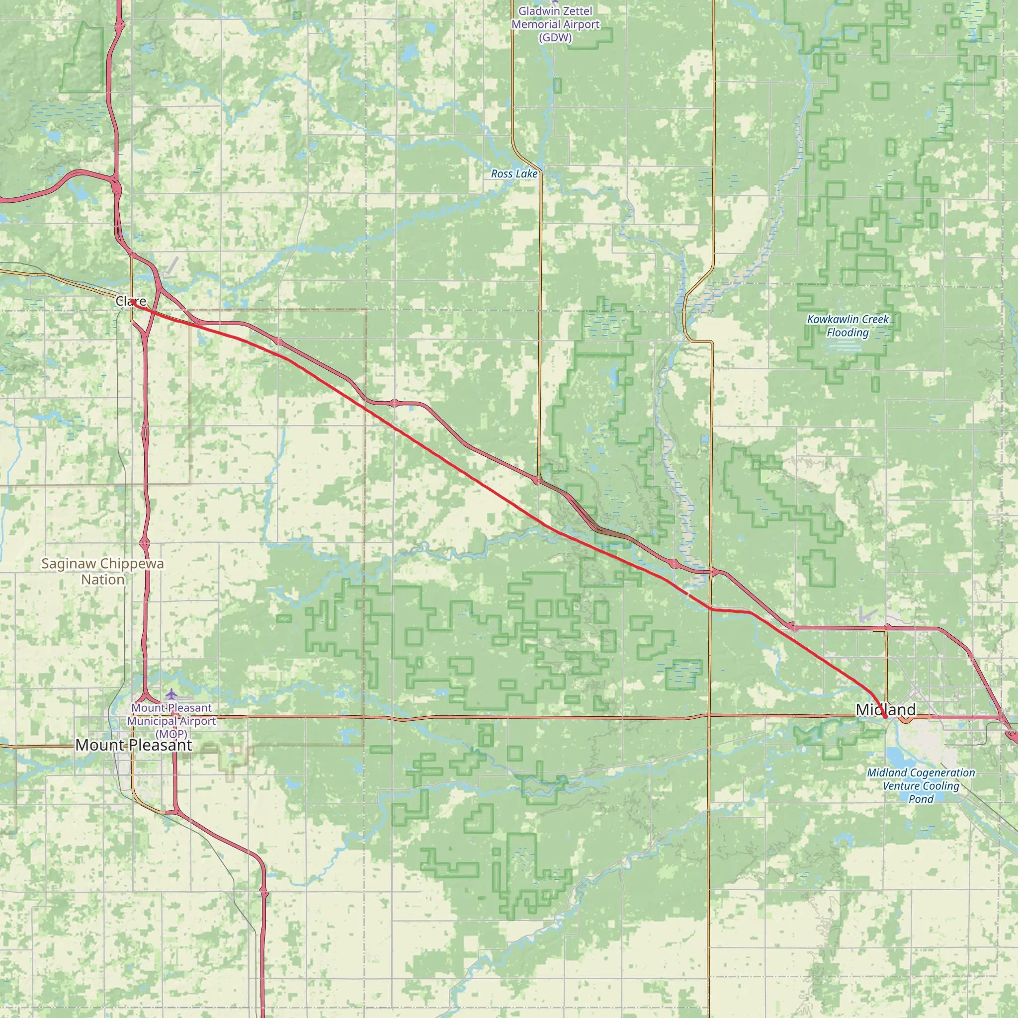
Spanning approximately 30 miles (around 49 kilometers) with minimal elevation gain, the Pere Marquette Trail offers an accessible yet rewarding experience for hikers of medium difficulty. The trailhead is conveniently located near Clare County, Michigan, and the path itself is a point-to-point trail, meaning it does not loop back to the starting point.
Getting to the Trailhead
To reach the trailhead by car, hikers can navigate to Clare, Michigan, which is situated at the junction of US-10 and US-127. Public transportation options are limited in this region, so driving is the most feasible option for most visitors. Parking is available near the trailhead, which is typically accessed from the city's outskirts.
Trail Experience
The Pere Marquette Trail is paved for most of its length, making it a multi-use path that accommodates not only hikers but also cyclists and, in winter, snowmobilers. The trail follows the path of the historic Pere Marquette Railroad, which has been converted into this scenic recreational trail as part of the Rails-to-Trails Conservancy project.
Historical Significance
The trail is named after Father Jacques Marquette, a French Jesuit missionary who explored the Great Lakes region in the 17th century. The railroad itself played a significant role in Michigan's lumber and automotive history, and as hikers traverse the trail, they can reflect on the area's transformation from a bustling industrial route to a serene natural corridor.
Landmarks and Nature
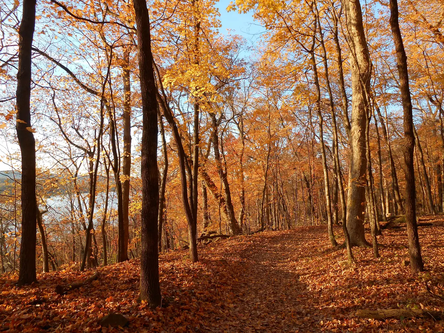
As you embark on your journey, you'll pass through a variety of landscapes including woodlands, wetlands, and open fields. The trail crosses several rivers and creeks, providing picturesque views and opportunities to spot local wildlife. Notable crossings include the Tittabawassee River and the Chippewa River, where you might pause to enjoy the tranquil sound of flowing water.
Around the halfway mark, the city of Midland offers a change of scenery with its own attractions, such as the Tridge, a three-legged wooden footbridge that spans the confluence of the Tittabawassee and Chippewa Rivers. This is a perfect spot for a rest or a photo opportunity.
Wildlife and Flora
The Pere Marquette Trail is home to a diverse array of flora and fauna. Depending on the season, hikers may encounter wildflowers, migratory birds, and various species of butterflies. Deer are commonly sighted along the trail, and with some luck, you might spot a beaver or muskrat near the waterways.
Preparation and Planning
Before setting out, it's advisable to download the trail map using a navigation tool like HiiKER to ensure you have offline access to the trail information. While the trail is relatively flat, it's important to carry enough water and snacks, as the full 30-mile stretch can take several hours to complete. Additionally, be sure to check the weather forecast and dress appropriately, as the trail offers limited shelter from the elements.
Accessibility
The paved nature of the Pere Marquette Trail makes it accessible to hikers of varying abilities, including those who may require wheelchairs or strollers. Benches and rest areas are spaced along the route, providing ample opportunities to rest and take in the surroundings.
Whether you're a history enthusiast, a nature lover, or simply seeking a pleasant day hike, the Pere Marquette Trail offers a unique glimpse into Michigan's past and present, all while providing a scenic and enjoyable outdoor experience.
What to expect?
Activity types
Comments and Reviews
User comments, reviews and discussions about the Pere Marquette Trail, Michigan.
4.46
average rating out of 5
13 rating(s)

