Download
Preview
Add to list
More
20.2 km
~2 days
331 m
Multi-Day
“The Streeter Trail weaves history and nature into a picturesque hike near Worcester County.”
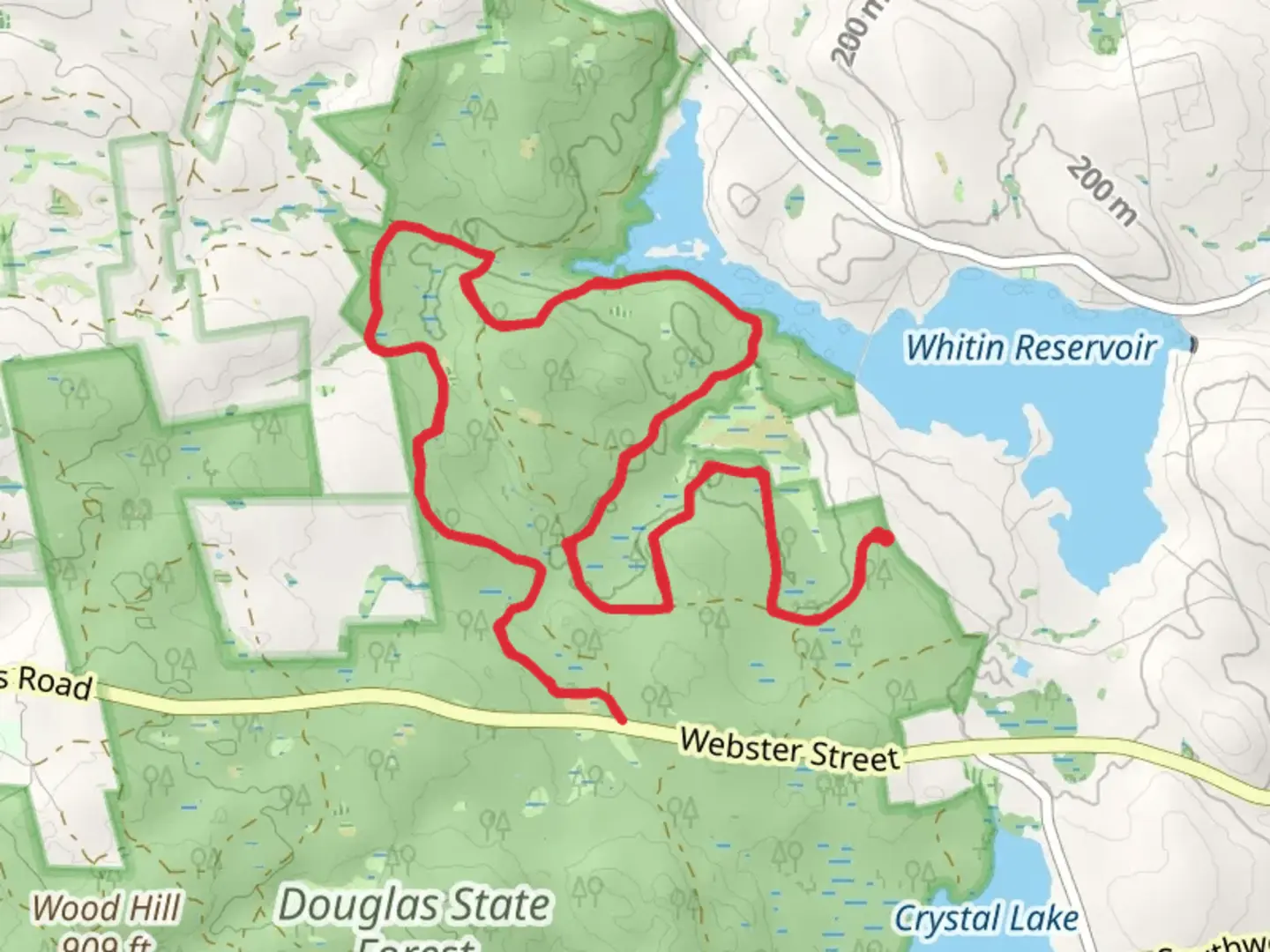
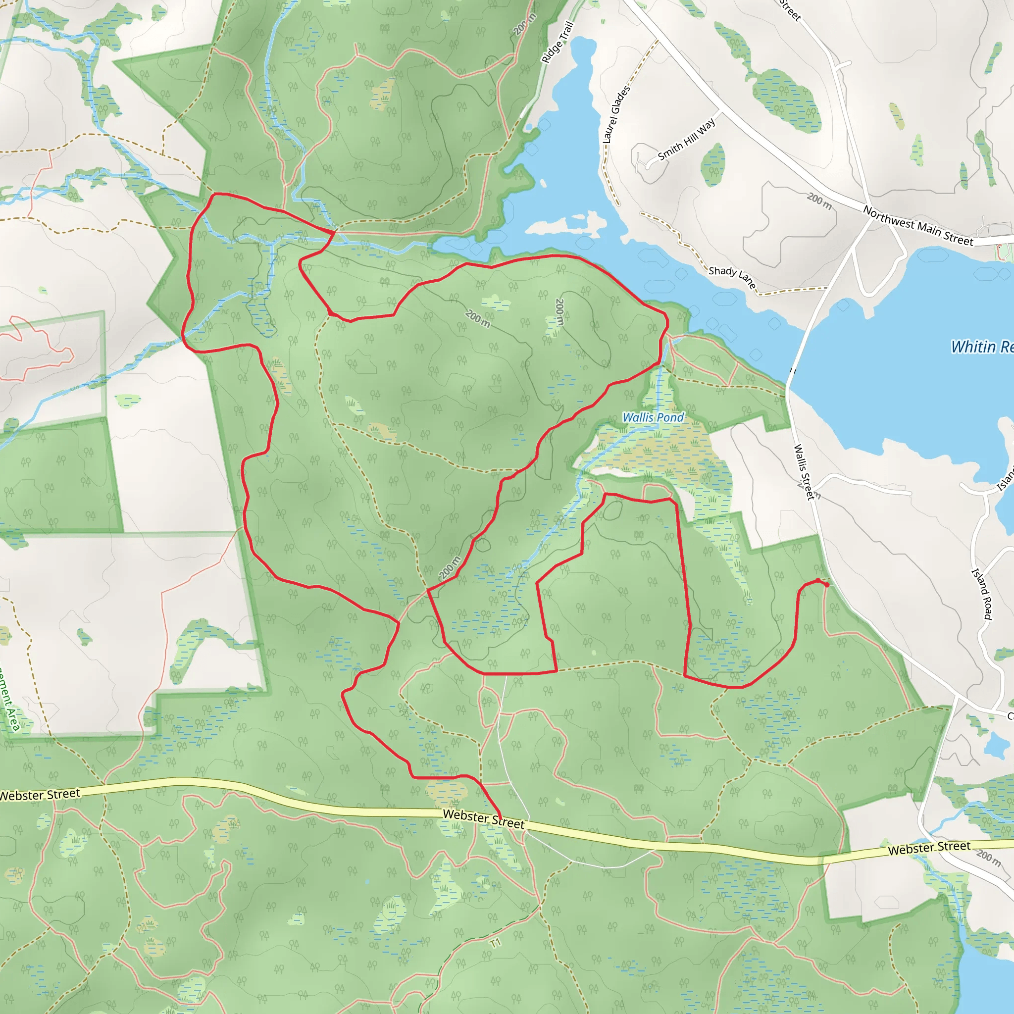
Nestled near Worcester County, Massachusetts, the Streeter Trail offers an immersive experience through the diverse landscapes surrounding Whitin Reservoir and intertwines with the historic Midstate Trail. This 20 km (approximately 12.4 miles) loop trail, with an elevation gain of around 300 meters (roughly 984 feet), is rated as medium difficulty, making it a suitable challenge for hikers with some experience.
Getting to the Trailhead
To reach the trailhead, if you're coming by car, navigate towards Douglas State Forest, which is the nearest significant landmark. The trailhead is conveniently located just off Wallum Lake Road. For those opting for public transportation, the Worcester Regional Transit Authority provides services to the nearby areas, from where you can take a taxi or bike to the starting point.
The Hike Itself
As you embark on the Streeter Trail, you'll be greeted by the serene Whitin Reservoir, a perfect spot for a quiet moment before or after your hike. The trail meanders through mixed hardwood forests, offering a canopy of oak, maple, and birch trees. The first few kilometers are relatively flat, allowing you to warm up before the gradual ascent begins.
Flora and Fauna
Throughout the hike, keep an eye out for the diverse wildlife that inhabits the area. You may spot white-tailed deer, red foxes, and a variety of bird species, including the pileated woodpecker and the occasional bald eagle. The trail also boasts a rich array of plant life, from ferns carpeting the forest floor to wildflowers that add splashes of color in the spring and summer months.
Historical Significance
The Midstate Trail, which the Streeter Trail intersects, is steeped in history. This long-distance trail runs through the heart of Massachusetts and has been a pathway for centuries, originally used by Native American tribes and later by European settlers. As you hike, consider the countless footsteps that have traversed this land before you.
Navigational Tips
For navigation, HiiKER is an excellent tool to keep you on track. It's advisable to download the trail map on your device before setting out, as some sections may have limited cell service. The trail is well-marked, but having a digital map can help with peace of mind and ensure you don't miss any turns or landmarks.
Elevation and Terrain
The most challenging part of the hike involves a series of switchbacks leading to the highest elevation point. Here, you'll gain most of the 300 meters in elevation. The effort is rewarded with panoramic views of the surrounding landscape. The descent is more gradual and leads back towards the reservoir.
Preparation and Safety
Be sure to carry enough water, as there are no refill stations along the trail. Snacks, a first aid kit, and weather-appropriate clothing are also essential. Check the weather forecast before heading out, as conditions can change rapidly, especially in the higher elevations.
Conclusion
The Streeter Trail, with its connection to the Midstate Trail, offers a rich hiking experience through Massachusetts' natural beauty and history. Whether you're looking to spot wildlife, enjoy the tranquility of the reservoir, or simply get a good workout, this trail provides an excellent opportunity for a day hike. Remember to leave no trace and respect the wildlife and natural surroundings as you enjoy your adventure.
What to expect?
Activity types
Comments and Reviews
User comments, reviews and discussions about the Streeter Trail, Whitin Reservoir and Midstate Trail, Massachusetts.
4.5
average rating out of 5
12 rating(s)
